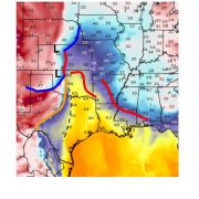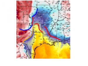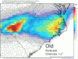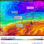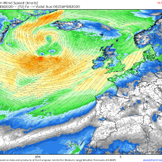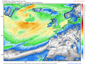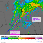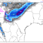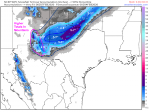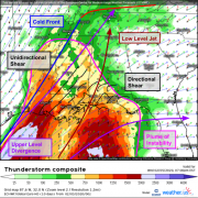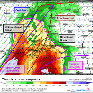
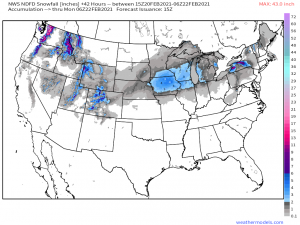
Quick-Moving Snow To Impact Corn Belt
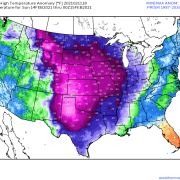
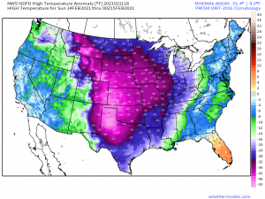
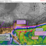
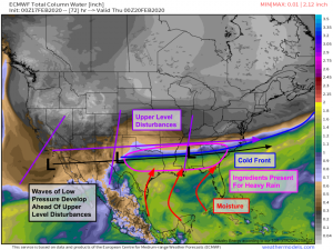
The immense midlevel trough that sent a polar anticyclone deep into the heart of the central US has finally eroded and retreated, allowing ridging and mild temperatures to build into […]
02/20/2021 /
No Comments