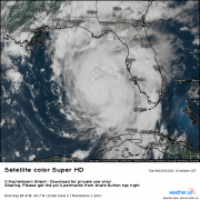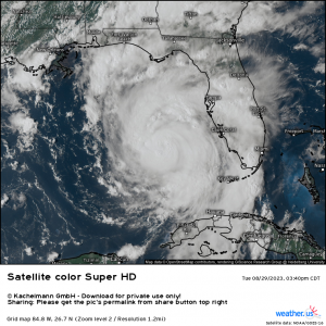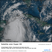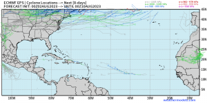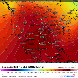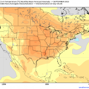
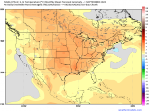
September’s Coming In Hot!
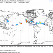
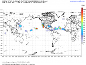
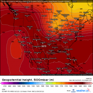
As we move into September tomorrow and the official start of Meteorological Fall, some of us cooler weather lovers will be anxiously looking ahead to the first big cold front […]
08/31/2023 /
No Comments