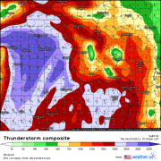
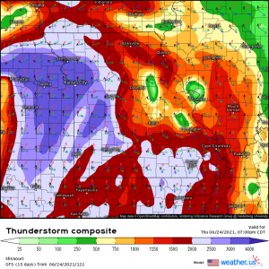
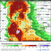
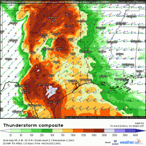
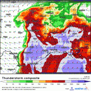
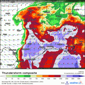
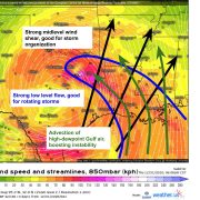
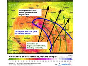
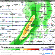
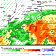
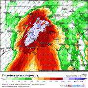
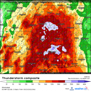
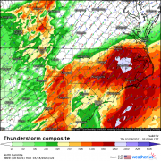
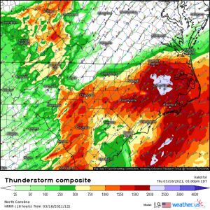
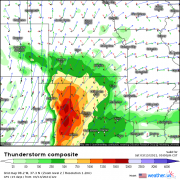
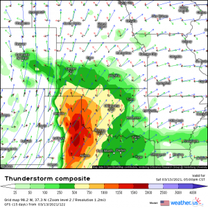
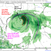
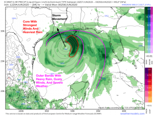
When the seasons clash, they rarely do so peacefully. A large, intense, and slow-moving longwave has inflicted a highly polarized regime across the United States, with a cold West and […]
Good morning! The fairly significant quasi-linear convective system (QLCS) that tore across a swath of Nebraska yesterday, leaving behind a swath of 60-85mph wind gusts, has weakened considerably but evolved […]
The first severe thunderstorm outbreak of what looks to be quite the active pattern is in its late stages over the southeastern US at present, with numerous cells and line […]
As I wrote about a bit on Tuesday, a quick-moving shortwave will bring a pronounced threat for all severe hazards to parts of the southern US tomorrow into Saturday. Already, […]
A theme we’ve been discussing a lot lately has been the tendency for east coast troughing and west coast ridging to run the atmospheric scene. Generally, under a pattern like […]
This morning, a large zone of cutoff midlevel energy is continuing to pivot north towards the Great Lakes, with a subtle upstream shortwave digging into the peripheral jet. Attendant surface […]
An outbreak of numerous tornadoes will almost certainly occur in the Southeastern US today, with storms evolving amidst a parameter space highly supportive of significant to violent tornadoes. If you […]
Potential is increasing for another round of convection to rake portions of the southeast with numerous tornadoes on Thursday. While there is still a lot we don’t know, what we […]
Ok, we can take a deep breath. The atmosphere certainly produced yesterday in the way the parameter space suggested it might, with dozens of tornado warned supercells erupting over hours […]
Numerous severe thunderstorms will likely develop across parts of the Texas panhandle today, with an attendant risk for large to significant hail, scattered damaging wind, and a number of tornadoes, […]
Happy New Years Eve! Unfortunately, a multi-faceted impactful weather event will dampen the celebratory mood in many parts of the country today and tonight. There is a lot to discuss, […]
With our big weather story, a record-shattering nor’easter, clearing New England today, the CONUS is returning to a pretty quiet pattern overall. Without any pressing current events, then, I’ve decided […]
Hello everyone! Cristobal has been downgraded to a tropical depression today having lost its 40 mph sustained winds along with most of its thunderstorm activity after it moved inland yesterday. […]