
August 31st, 2020 Tropical Weather Discussion
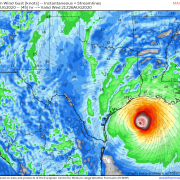
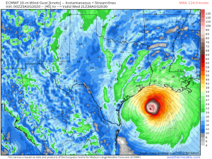
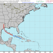
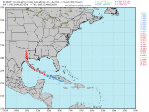
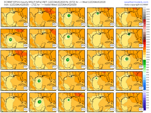
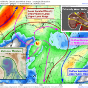
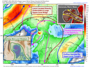
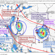
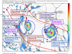
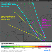
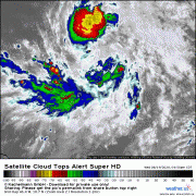
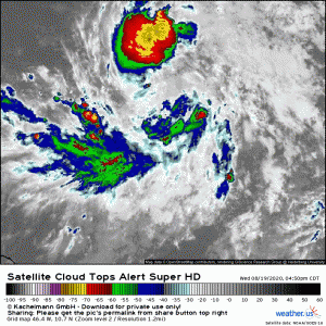
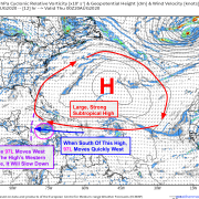
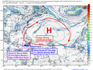
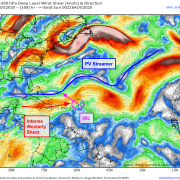
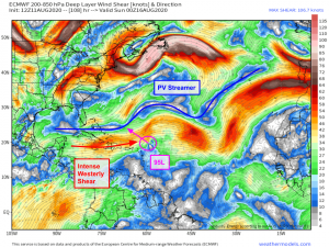
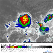
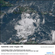
In this video, forecaster Jack Sillin discusses the forecast for tropical cyclone activity in the Atlantic during the week of 8/31-9/6, 2020. Topics of discussion include a disturbance off the […]
08/31/2020 /
No Comments