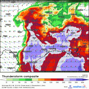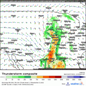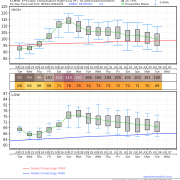
Western Heat Next Week Will Be Extreme. But to What Degree?
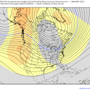
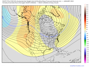
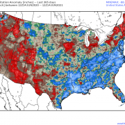
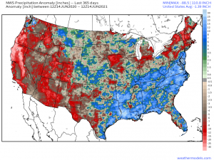
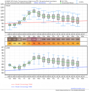
No pun intended. As anybody who has read my blogs from last week knows, the West exists in a dire stage of historic drought. Dry season is deepening across the […]
06/22/2021 /
No Comments