What is the Jet Stream?
The jet stream is often referred to in weather forecasting because it impacts the weather in so many ways. So what is the jet stream, and how does it affect our weather?
Simply put, the jet stream is a current of air that moves quickly through the upper levels of the atmosphere, typically between 30 and 40 thousand feet in altitude. The winds in the jet stream typically blow between 60 and 100 mph, however, localized patches of higher winds known as jet streaks can feature winds over 200 mph. Now that we know what the jet stream is, why is it important to our weather?
The jet stream acts as a rough guideline for where storms will track. Think of it as a highway of sorts for storm systems. They won’t always stay in their lanes, but generally they’ll avoid offroading. Now that we have an approximation for where storms will track, we can figure out lots of things. Areas under the jet stream will see lots of low pressure areas traverse overhead. As a result, abnormally stormy weather can be expected with above normal precipitation. Areas south of the jet stream will see warm temperatures as warm air is drawn towards the lows passing north. The opposite will happen to the north of the jet where colder temperatures can be expected as cold air is drawn towards the lows passing south.
The jet stream is an important factor in almost all weather that happens in the mid latitudes (between the polar regions and the tropics). The jet stream is far from a constant though. It shifts in strength and position not only daily, but also through the seasons. Because the jet stream is caused by the difference in temperature between the poles and the tropics, it is strongest in the winter. As it strengthens during the fall, it slowly sinks in latitude and winter’s chill invades the mid latitudes. The opposite happens in the spring as the jet slowly lifts and weakens, allowing summer’s warmth to move north.
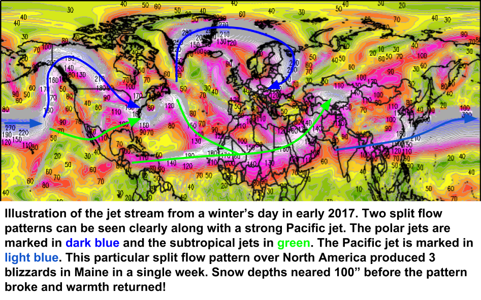
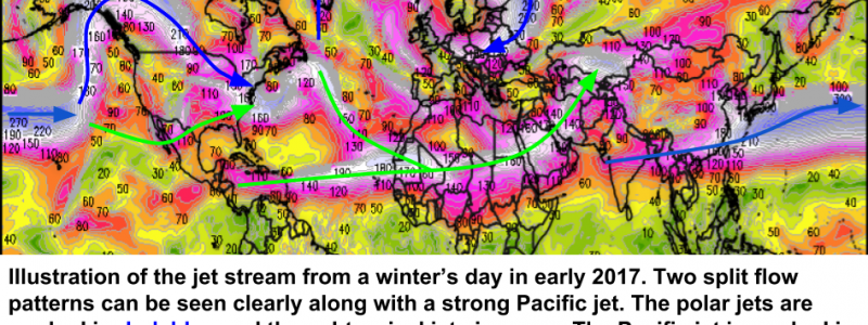
The jet stream isn’t always a continuous band of wind. Occasionally, the jet can split into two branches. These so-called “split flow” patterns are known to produce large storms when they set up correctly. In a split flow pattern, the jet stream will split as it enters the West Coast. One branch will head north into Canada while the other heads south into Mexico. The northern branch is termed the “polar jet” while the southern branch is known as the “subtropical jet”. The polar jet is the boundary between seasonably cool continental air and bitterly cold Arctic air. The subtropical jet is the boundary between seasonably cool continental air and warm, moisture laden tropical air. When the subtropical jet and the polar jet meet and ‘phase’ together, incredibly powerful storms often form as the bitterly cold Arctic air crashes head on into the deep tropical moisture. This is, in short, how a nor’easter forms!
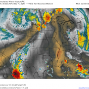
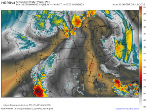
Now that you know what the jet stream is and how it impacts our weather, check out the model data we have at weather.us to see which side of the jet stream you’re on (or if you’re under it!). On these maps, the jet stream will appear as an area of rapidly changing colors and lines that are tightly packed together.
Feel free to send me an email if you have any questions about the weather you’d like me to explain! jack@weather.us
-Jack Sillin
