Weak Disturbance Brings Rain And Snow To The Midwest Today
Hello everyone!
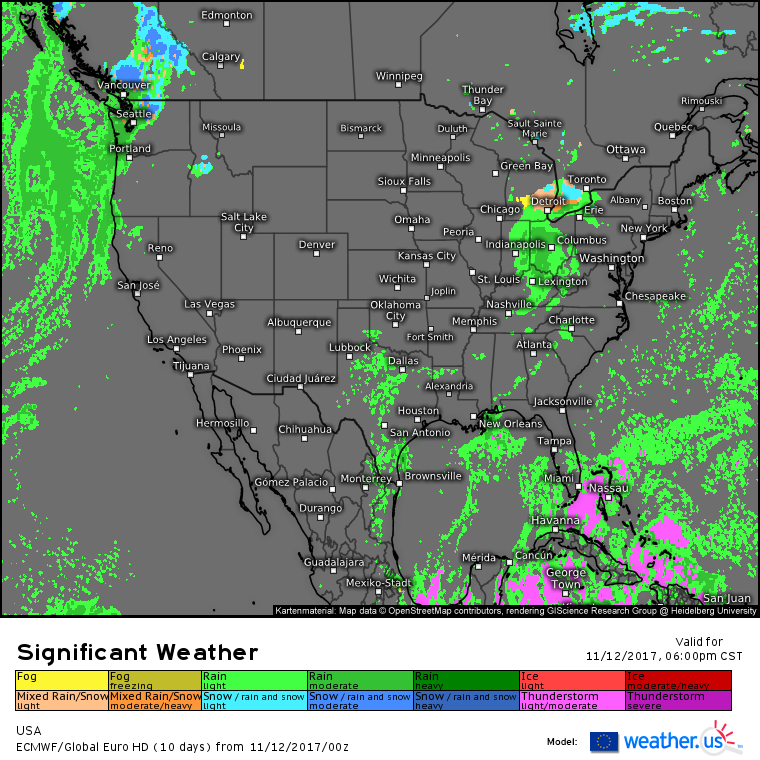
Our quiet pattern will continue today for the vast majority of the nation. Rain and snow showers will continue in the Pacific Northwest as strong storm systems spin offshore. The other area of rain and snow showers will be in the Midwest, which is what I’ll briefly discuss here.
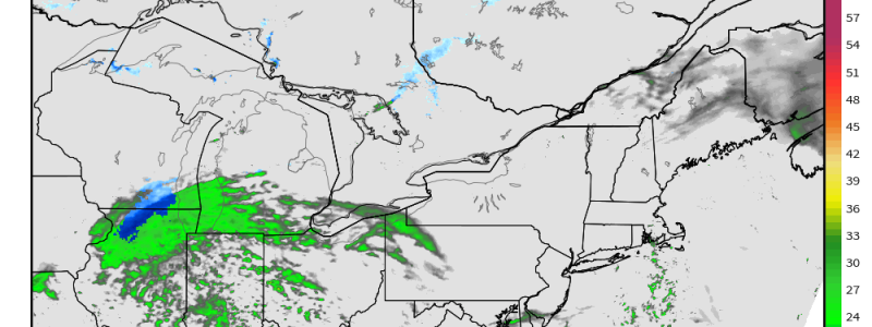
This simulated radar image for noontime shows rain showers across parts of Ohio, Michigan, and Indiana, with rain changing to snow across parts of Illinois. No impacts are expected from the rainy side of the storm, but even the very minor ~1″ accumulations from the snowy side of the system could result in a few slippery roads today. The storm will be moving quickly east, and rain will change to snow across parts of Michigan, Ohio, Pennsylvania, and New York tonight before snow continues into New England tomorrow. Minor accumulations are expected from the snow, but it doesn’t take much to cause problems with slippery roads.
Elsewhere across the country, there’s hardly anything going on weatherwise, except for those Pacific Northwest showers mentioned earlier. If you’re travelling into the high mountains of Washington state, watch for wintry conditions, otherwise just grab the raincoat as you head out the door in the Seattle area.
For more information about your local forecast: https://weather.us/
For more information about the local forecast for ME/NH: https://forecasterjack.com/2017/11/12/slightly-warmer-with-more-clouds-today/
-Jack


