TS Karen Forms Near South America, May Pose Long Term Threat To US
Hello everyone!
Tropical Storm Karen has formed this morning from an area of low pressure located just off the South American coast near the southern end of the Lesser Antilles island chain. The system is currently disorganized due to strong northeasterly wind shear, but slow strengthening is possible this week as the storm moves NNW towards Puerto Rico. After passing somewhere near Puerto Rico, the storm’s forecast is much more uncertain, but given the way the pattern is expected to evolve over North America this week, there is some chance Karen ends up threatening the US around 10 days from now. This post will outline the forecast for the system including, as always, what we know and what we don’t about where Karen might go and how strong it might be.
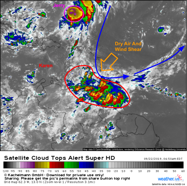
Here’s a look at satellite imagery this morning showing both Jerry and Karen as well as the large upper level trough bringing wind shear and some dry air into Karen’s circulation. Most of the storm’s thunderstorm activity is located SW of the center due to that wind shear and dry air. As long as the thunderstorm activity remains displaced away from the center, very little if any strengthening is possible.
Looking at the forecast for the next few days, 500mb RH and wind plots such as the one shown above indicate that while shear may relax a bit tomorrow, Karen will be running into a region of mid level dry air which will continue to impede intensification. While dangerous heavy rains are expected in Puerto Rico as the system passes either over or very close to the island, Karen is not expected to be a strong storm as it passes by. Map via weathermodels.com.
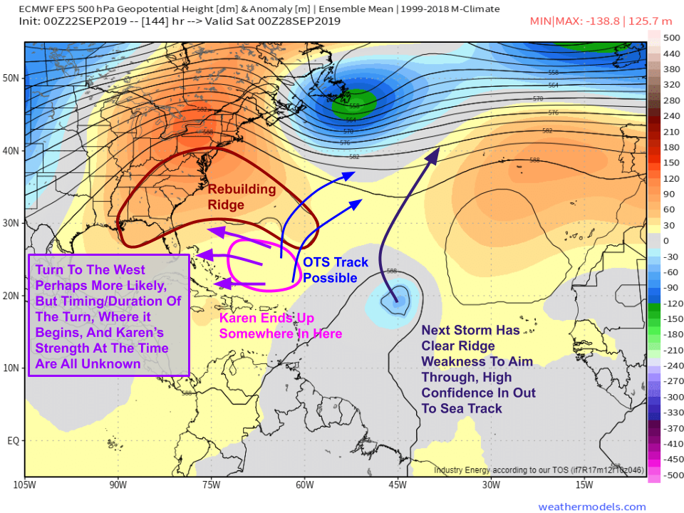
Also visible on the map above are TS Jerry which will be recurving off the East Coast this week, and the next storm expected to form from a tropical wave just emerging off the African coast today. Neither system poses any threat to the US.
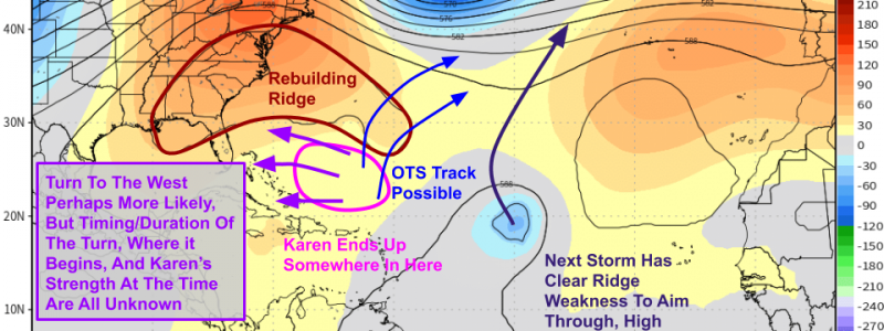
What happens after Karen leaves Puerto Rico? This is the point at which the forecast becomes more uncertain. A ridge of high pressure will be building over the Southwestern Atlantic between the US and Bermuda during this time. EPS forecasts like the one above indicate high confidence in that feature’s development. If Karen were to end up tracking underneath that ridge, it would be steered to the west. If Karen were to slip a little farther east, or if the ridge were to end up developing a little farther west, a door would open up for the storm to move out to sea. At this point, I think it’s probably more likely that the storm moves west for some period of time around a week from now, but it’s too early to determine how strong it might be at that time or if the storm would move far enough west to impact the US. Map via weathermodels.com.
I’ll have more updates both here and on twitter as the week goes on and confidence in Karen’s forecast increases.
-Jack


