Tropical Depression Six Forms Off The East Coast, Likely To Remain Well East Of The US
Hello everyone!
The festering area of showers and thunderstorms off the East Coast that we’ve been referring to as 98L has finally closed off enough of a circulation to be designated as Tropical Depression Six. Should the system begin producing sustained winds in excess of 40 mph, it would be named Tropical Storm Erin. The system should strengthen into a tropical storm by tomorrow. After meandering near its current location for a couple days, the storm will begin moving swiftly NNE on Wednesday with a final destination point somewhere in the Canadian Maritimes. At this point, no direct impacts to the Mainland US are expected.
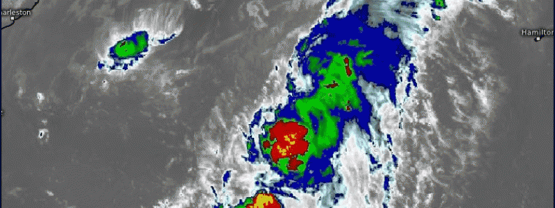
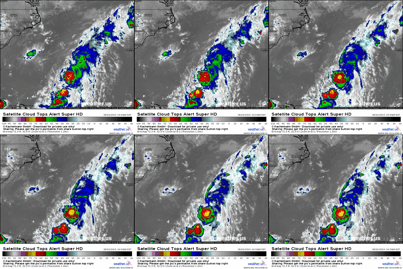
Here’s a look at the system’s satellite presentation from a little earlier this evening. The depression’s center is located to the north of its thunderstorm activity due to moderate WNW shear. Given the current lack of organization, any intensification will be slow to occur over the next couple days. 
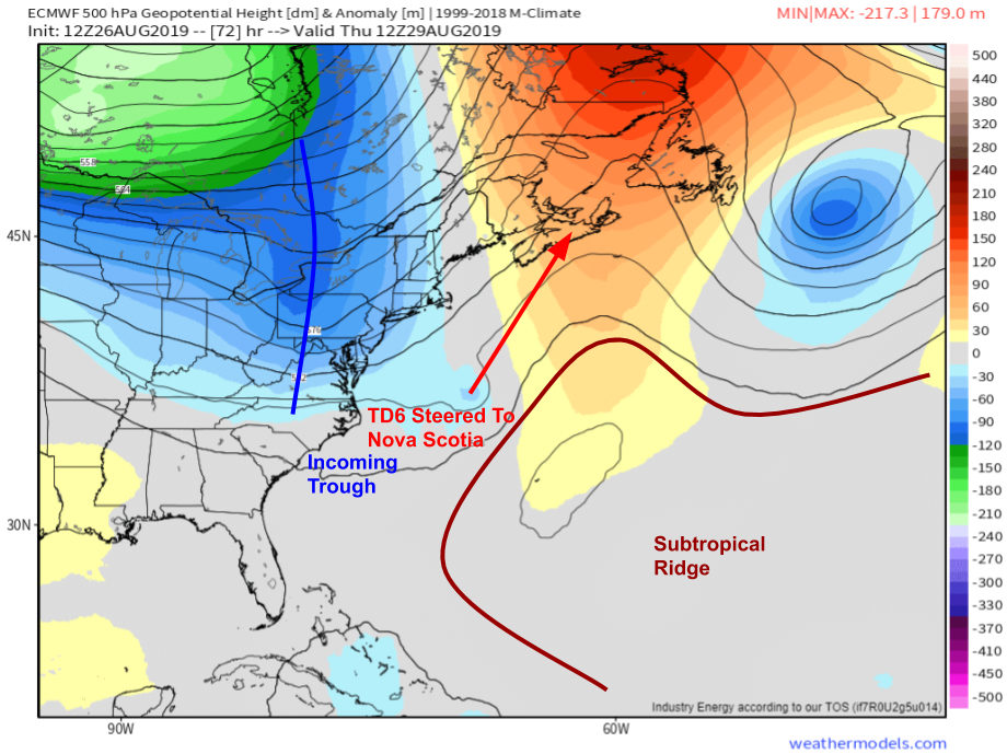
After about 48 hours of weak steering currents, the system will turn north in response to an approaching upper level trough currently moving through the Midwest. While the exact details of the system’s track remain somewhat uncertain, we have high confidence in the general idea that this stays well off the US coast before moving ashore somewhere in Nova Scotia. That trough will siphon off some of TD 6’s moisture which will result in showers over New England dropping a little more rain than they otherwise might have. Aside from that, the only US impact from this system will be some higher surf. Map via weathermodels.com.
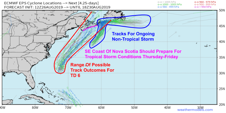
Here’s the EPS ensemble spaghetti track map for TD 6 (and a non-tropical area of low pressure currently impacting Nova Scotia). There is some disagreement about where exactly it moves ashore, but the general idea is very similar among the members. Map via weathermodels.com.
ECMWF significant wave height forecasts show some higher surf getting kicked up by TD 6 on its way north. If you’re headed to the beaches over Labor Day weekend, keep an eye out for rip currents. Otherwise, you won’t even know there’s a storm out there. GIF via weathermodels.com.
Looking for information about Tropical Storm Dorian? That can be found in my post from earlier this evening.
-Jack


