Southern Storms Weaken While Rain And Mountain Snow Return To Washington
Hello everyone!
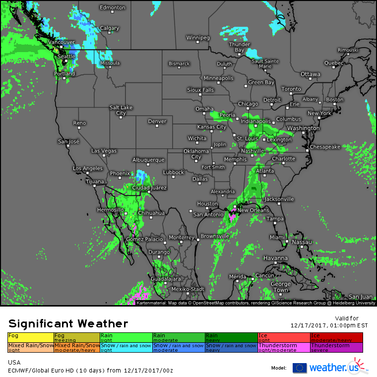
Today will feature the weakening of storms in the Deep South, and the return of rain/mountain snow to the Pacific Northwest. We remain in the same general pattern as the past few days with several weak systems bringing low-moderate impact weather to various parts of the country, while high impact weather systems are lacking.
Here’s the ECMWF’s overview forecast for today, showing the several areas of low-moderate impact weather. Showers and storms that brought heavy rain to parts of Texas yesterday will fall apart as they move east today. The upper level disturbance that was providing support to those storms is shearing out as it encounters a strong ridge of high pressure over Florida, and without the upper level support, those storms are expected to decay. Aside from wet roads and briefly reduced visibility, that system is not expected to have any impacts of significance.
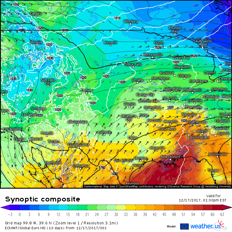
Our next weak, low-impact system is visible on the synoptic composite map (what’s that?) and is centered near the Arizona-Mexico border. It’s an upper level low, visible as a closed off black height line. This upper level low will be drawing Pacific moisture northward, and while most of that moisture will condense over the tall mountains of NW Mexico, some of it will make it to Southern Arizona and New Mexico, where showers are expected. Some parts of New Mexico might even be cold enough to see this precip fall as snow! However, accumulations will be light and areal coverage will be limited, so no major impacts are expected.
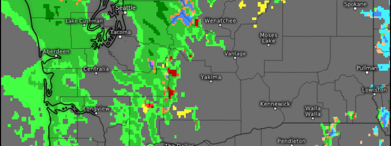
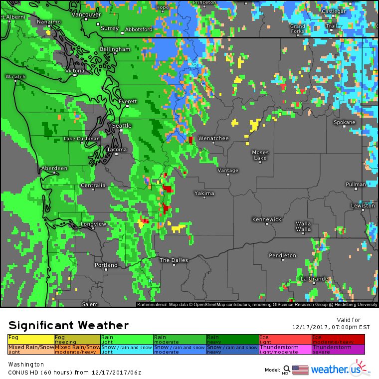
Our final area of active weather today will be located in the Pacific Northwest. The very large ridge of high pressure that has been in control of the West Coast for over a week now will give up a little ground today, allowing a storm system to drop far enough south to bring rain and mountain snow to Washington State. Given that snow will be limited to the higher elevations, impacts from this system will be minimal, but use caution if you’re headed up and over some of the higher passes today.
Elsewhere across the country, generally quiet weather is expected today.
For more information about your local forecast: https://weather.us/
For more information about the local forecast for ME/NH: https://forecasterjack.com/2017/12/17/calm-and-cold-today-2/
-Jack


I am wondering why all the good forecasting sites, forecasters and blogs are located in the Mid-Atlantic and New England States? Since leaving New York State in April of this year, I have had no luck in finding any remotely comparative websites, Meteorologist, or Blogs in the Western US. The closest I get is to a ski report site or Blog run by a TV studio, which pales in comparison to what the east has to offer. Until now, I never knew their was such a problem.
Hi Kenneth,
I don’t have a good explanation as to why there are more weather blogs in the East than in the West. I’m sure there are some good ones out there if you looked hard enough. I won’t be able to cover the weather for the West in great detail each day in the same way that some of the local folks would be able to, but I promise if there are any notable storm systems, I’ll write about them here!