Snow In Denver, Storms In The Central Plains, And Nate’s Rains In The Northeast
Hello everyone!
Today will be an active one across parts of the US weatherwise as we have two systems to watch for inclement weather.
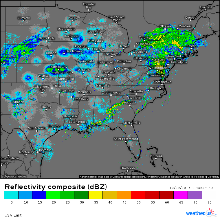
In the East, Nate and its trail of moisture will continue to bring impacts for one more day before the system races ENE off into Canada tonight. Steady rains are expected across New England today, with more scattered showers and storms in the Mid Atlantic and Southeast. While no major flooding impacts are expected, any of the heavier storms could bring ponding on roadways and potentially even some brief flooding of low lying areas. Overall though, impacts won’t be too severe.
Speaking of severe weather, the parade of tornadic supercells that caused damage in parts of western NC and SC last night has weakened to an area of rain near DC. This is a result of the storms encountering southerly winds (shown in obs above) off the cool Atlantic ocean. This stable marine flow will cut dramatically down on the risk for severe weather today, though a few storms with gusty winds can’t be totally ruled out.
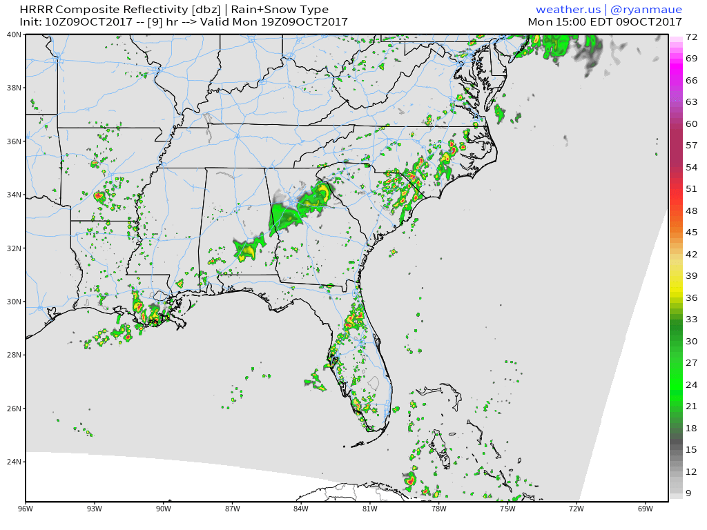
Farther to the South, Nate’s long tail of moisture extends back into the Caribbean. Within this moisture feed, showers and storms will develop today across the Southeast as shown here on the maps of COO Dr. Ryan Maue. These storms will lack upper level winds to organize, but will bring torrential downpours, lightning, and some gusty winds wherever they pop up.
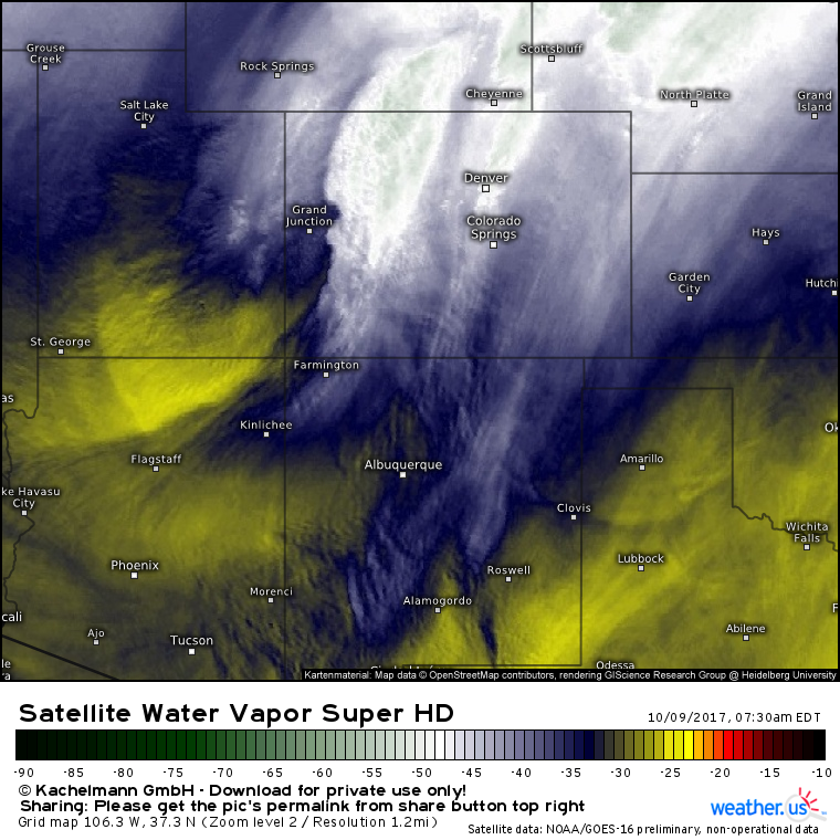
Farther to the west, the upper level low we discussed yesterday has dug into Colorado. As expected, snow is falling out ahead of this system, a trend expected to continue today.
Radar imagery shows bands of moderate snowfall across the Denver area this morning. These bands of snow are being fueled by moist Pacific air being forced up and over low level cold air moving south out of Canada. This pattern will continue to bring snow through the day today, and several inches of accumulation are expected in the I-25 corridor, with higher amounts found in the mountains to the west.
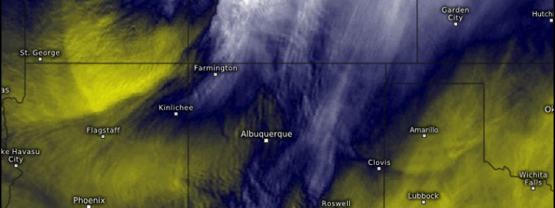
Snow will continue to move south this evening with parts of Southern Colorado and Northern New Mexico seeing flakes by this evening. Snow will taper to flurries in the Denver region as drier air moves in from the northwest.
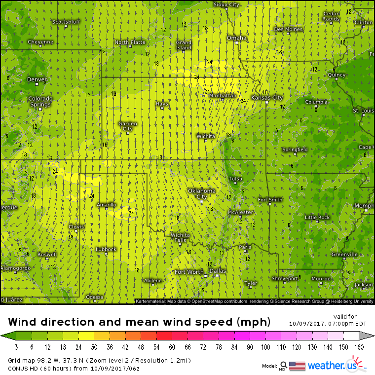
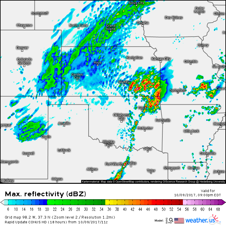
There are two sides to every storm, and this one is no different. While snow starts winding down this evening in Denver, a strong cold front will be plowing into Gulf of Mexico moisture over Eastern Texas, Oklahoma, and Kansas. Naturally, this would be an area of interest for severe weather.
Unsurprisingly, high resolution models develop a line of storms from Texas all the way up into Kansas. The strongest storms are forecast closer to the low pressure center itself, which is to be expected. Damaging winds and large hail will be the big threats with today’s storms, though a tornado can’t be ruled out.
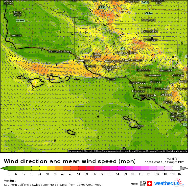
Even farther to the west, Swiss Super HD model forecasts for Ventura County in California are picking up on some strong Santa Ana winds developing this afternoon. Sustained winds of 40 mph are forecast out of the ENE with gusts over 60 mph possible. Light unsecured objects left outside such as lawn furniture and trash cans will likely become mobile with winds this strong, so be sure to secure any items that might unnecessarily become projectiles. Strong winds will also fuel a continued fire threat in these areas as any ongoing fires will be able to spread quite quickly.
More updates on all this wild weather today on twitter @Weatherdotus and back here on the blog either this evening or tomorrow morning.
-Jack
