Rain And Mountain Snow Expands In The Pacific Northwest Today
Hello everyone!
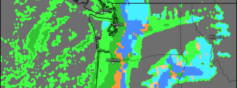
Today will feature the southward expansion of steady rain and mountain snow as a Pacific storm moves not north into Canada, but instead southeast into the Oregon coast.
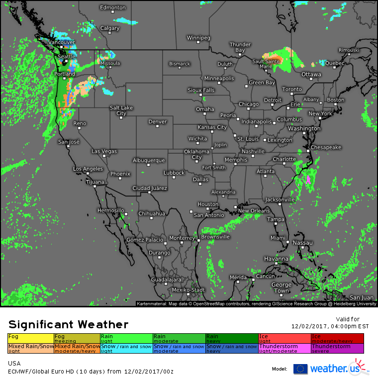
ECMWF significant weather forecasts show moderate to occasionally heavy rain and mountain snow developing as we head into this evening. Snow levels will remain high enough to avoid problems in the low-lying metropolitan areas, but low enough to cause travel hazards in the passes. Use caution if you’re heading up and over the Cascades today!
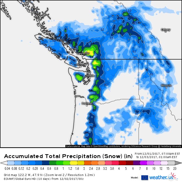
Between .4 and .8″ of liquid equivalent snow (what’s that?) will fall through tonight in the Cascades, translating to roughly 4-8″ of actual accumulation. Higher amounts will be found at the summits, where over a foot of snow is possible.
Elsewhere across the US today, very quiet weather will continue as we remain entrenched in our tranquil pattern. However, BIG changes are on the way in a few days! Our sleepy pattern will awaken beginning this coming week with blasts of cold air and potential snowstorms in the forecast for the East Coast. I’ll have a full breakdown of the pattern change this afternoon!
For more information about your local forecast: https://weather.us/
For more information about the local forecast for ME/NH: https://forecasterjack.com/2017/12/02/cool-and-quiet-today-4/
-Jack


