Quiet Weather Returns To The US Today
Hello everyone!
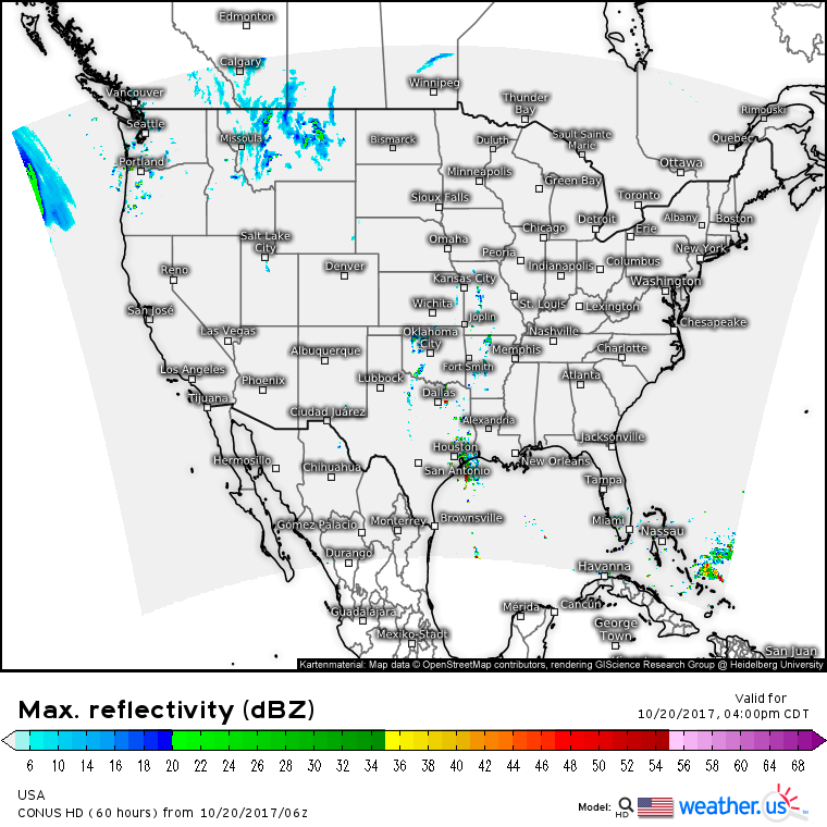
With a lull between storms in the Pacific Northwest, and continued dominance of high pressure east of the Rockies, today will be a quiet day across the US weatherwise.
This simulated radar map highlights the quiet weather today, along with a few areas that could see some precip. As Pacific energy moves east, away from its moisture source, showers will weaken over the Northern Rockies today, but some light rain and mountain snow is possible in Montana.
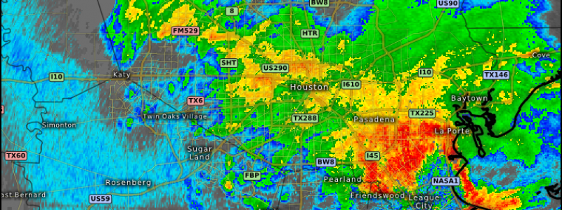
Gulf moisture will be streaming north into the Plains today by way of Texas where some showers and storms are expected in the Houston area. HD radar imagery shows these storms already in progress. While no widespread flooding issue are expected, localized street flooding is certainly possible in some of the stronger cells. While some of those stronger cells might bring a few wind gusts, no widespread severe weather is expected.
Elsewhere, generally dry and calm conditions are expected today.
For more details on what to expect in your area: https://weather.us/
For more details on the local forecast for ME/NH: https://forecasterjack.com/2017/10/20/warm-and-dry-again-today-2/
-Jack


