Quiet Weather Across The US Today
Hello everyone!
In unusual fashion for October, there’s very little in the way of weather to discuss across the US today.
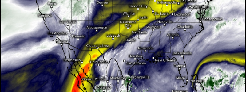
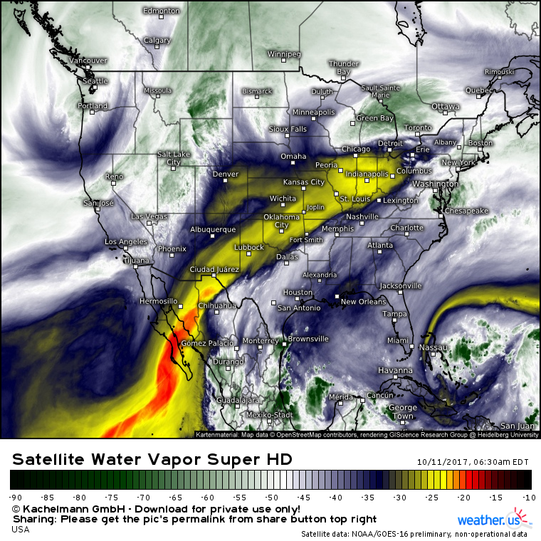
Water Vapor satellite imagery (what’s that?) does a good job painting the quiet weather picture this morning. A weak area of low pressure is seen over the Great Lakes, and is bringing steady rain to Michigan this morning while scattered showers are seen over the Mid Atlantic. This system is not expected to bring any widespread severe weather or flooding impacts.
There are no features of note across the Southern half of the country where clear and dry weather will prevail today, and the only other system that will bring anything in the way of impacts is located over the Pacific Northwest. While this system has an imposing look, its impacts will be quite tame.
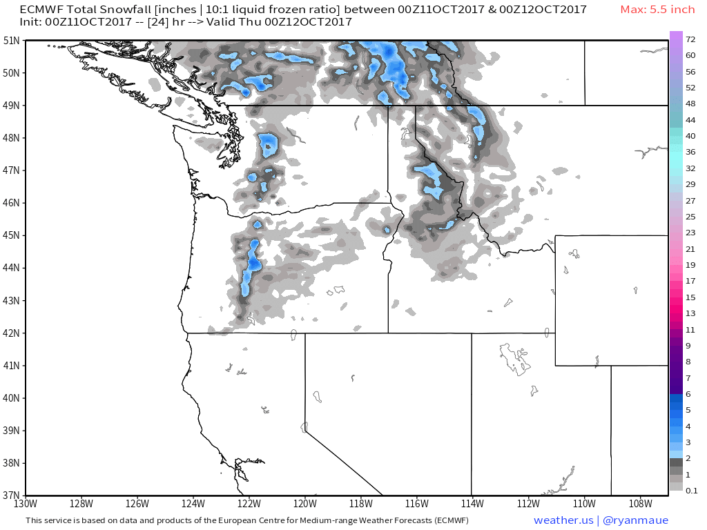
Simulated radar imagery shows some valley rain and mountain snow showers across parts of the Pacific Northwest today, but no significant impacts are expected. Snowfall accumulation forecast by the ECMWF model only amounts to a few inches, even at the highest elevations.
If you’re headed through some of the high mountain passes today, watch for some snow and potentially slippery conditions. Otherwise, this system is unlikely to bring much in the way of impacts.
Very quiet weather is expected across the rest of the country today. Enjoy the reprieve from weather related concerns, it likely won’t last too long!
For more information on your local forecast: https://weather.us/
For more information on the local forecast for Maine and New Hampshire: https://forecasterjack.com/2017/10/11/cooler-today-with-increasing-clouds/
-Jack


