Powerful Snow Squalls In The Northeast Today
Hello everyone!
The Midwest will be sharing it’s bitter cold air with the Northeast today, and powerful snow squalls will serve as the welcome wagon for the new airmass. These squalls are already organizing in Pennsylvania this morning and will continue to expand in coverage and intensity as they move east today. Impacts from the squalls will include heavy snow, strong winds, and dangerously cold temperatures.
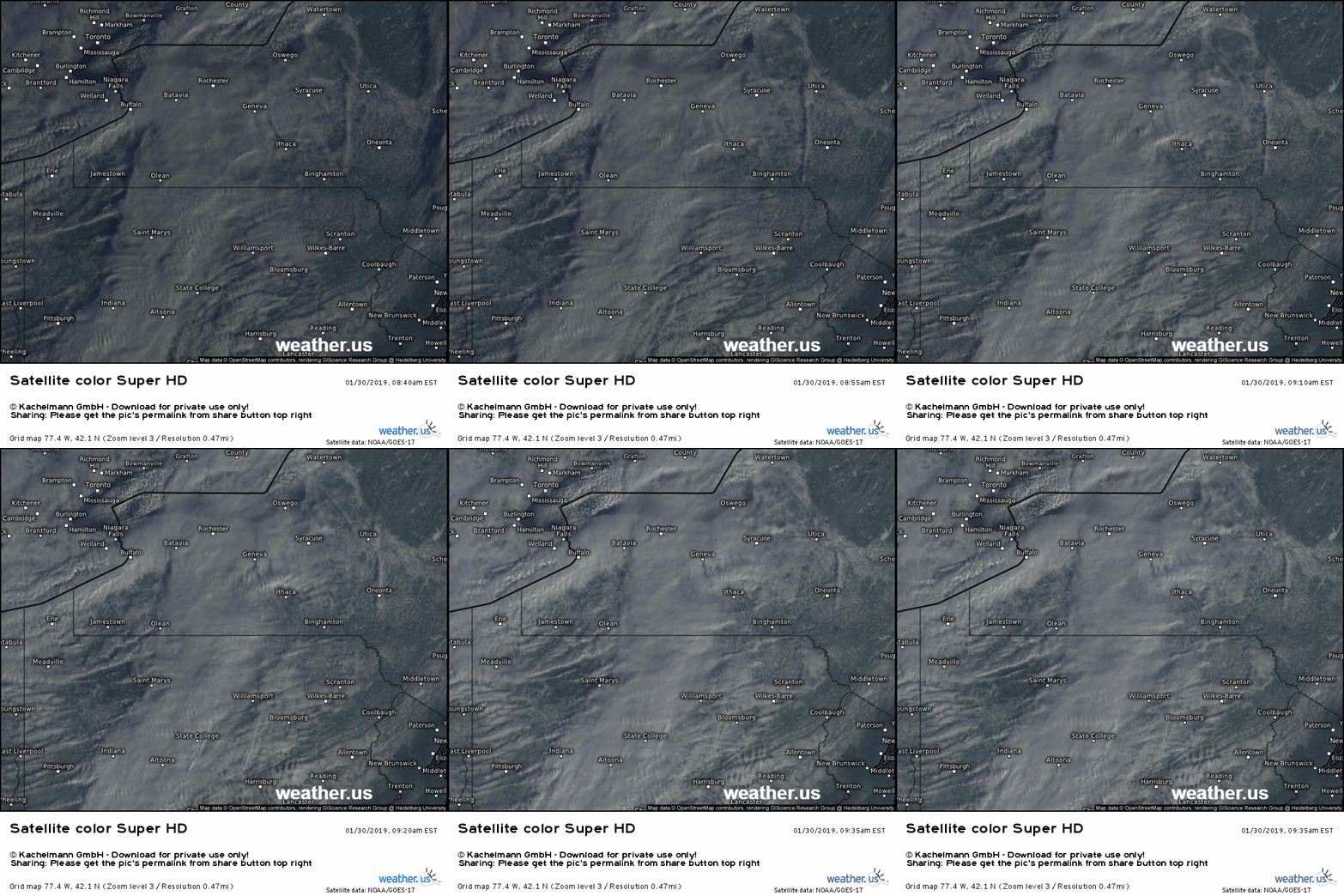
Here’s a look at the squalls via satellite imagery this morning. Focus on the State College PA area, where you can see a thin line of bubbly clouds pushing eastward. That’s the squall, and if you think it looks similar to a line of thunderstorms (albeit on a smaller scale) you’d be right. The processes driving the squalls are pretty much the exact same as those that fuel lines of thunderstorms. Air forced to rise at the leading edge of the cold front will keep rising because it’s warmer than its surroundings. Wait a second, usually you need warm temps and humid air to get thunderstorms right? That’s mostly true, but you can get convection any time the surface air is warm/moist relative to the air aloft. Even though temps ahead of this front are in the low teens, with dew points near zero, those surface parcels are warmer and moist compared to what’s just aloft. Yikes!
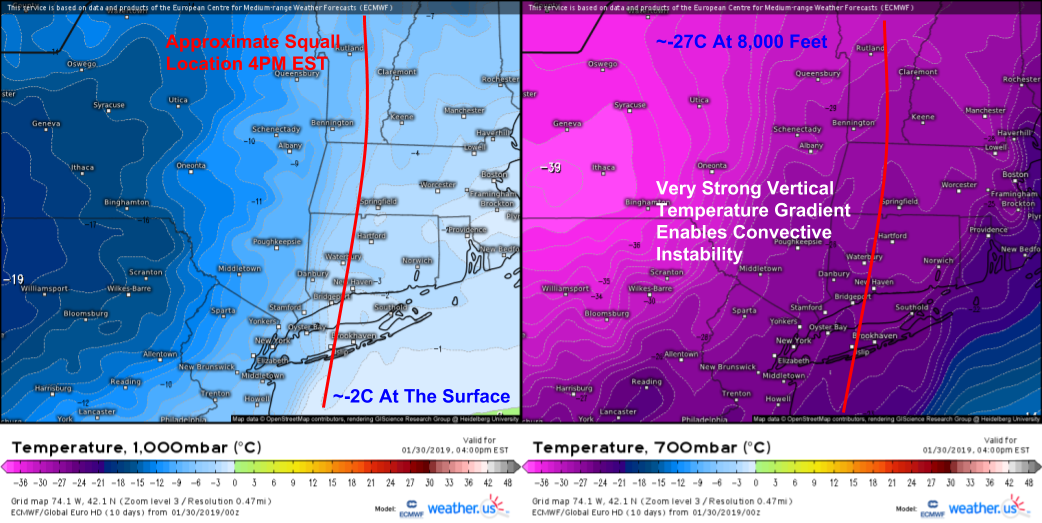
Here’s a look at the vertical temperature gradient this evening as the squall marches through Southern New England. Temps near the surface will be just below freezing, while temps at 8,000 feet will be well below zero. Of course, the convective instability present here pales in comparison to the warm season and would barely be enough to sustain a shower in July, but given the dynamics available with this front (temps ahead of the front +30F and temps behind the front -5F falling to -15F), it will be more than enough to fuel some strong squalls.
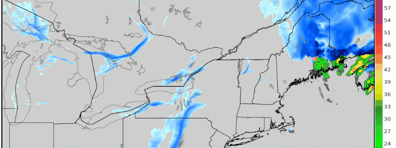
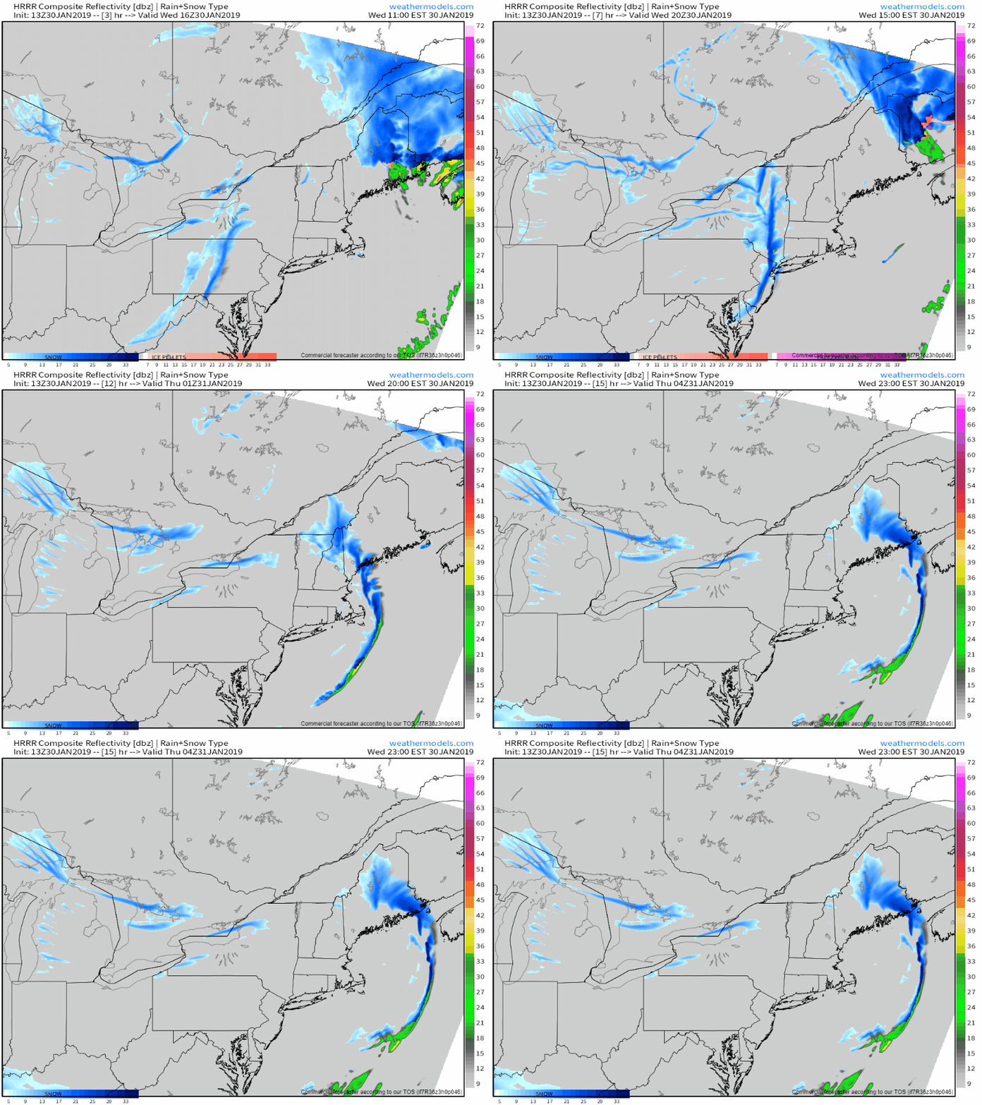
Here’s a simulated radar animation via weathermodels.com that shows the line of squalls racing east this afternoon. The squalls will continue to intensify as they approach the coast and are able to tap some Atlantic moisture. So what should you expect when the line rolls through? Heavy snow will come first, and it will take visibilities down to zero within minutes. Accumulations of 1-2″ can be expected in less than an hour, with previously dry roads becoming snow covered. Wind gusts will also pick up dramatically out of the west which will result in blowing and drifting snow, further exacerbating visibility concerns. Temps will also rapidly drop 10-15 degrees in as little as an hour, with additional cooling through the evening. Wind chills will drop below zero within minutes, making conditions extremely dangerous to anyone caught outside unprepared.
Travelling in the squalls is strongly discouraged! If you happen to be out and about when they arrive, pull over and wait until conditions improve before continuing your journey. There have been many examples recently of squalls causing massive pileups due to the sudden changes in visibility/road conditions. Lets see if we can prevent that from happening again!
Track the squalls through the day with HD radar imagery at weather.us. Click the map to zoom in, click near the edges to pan to a different location, or use the menus to the left of the image to navigate.
-Jack


Great analysis Jack, thanks as always for sharing.