Nate Bringing Heavy Rains And Gusty Winds To The Southeast Today
Hello everyone!
Today’s weather discussion will once again be dominated by Nate which is racing NE as a tropical storm this morning. Its center is currently over Alabama, where heavy rains and gusty winds are ongoing this morning. A late season winter storm will kick into gear tonight across Colorado, and I’ll have a full analysis of that system this afternoon.
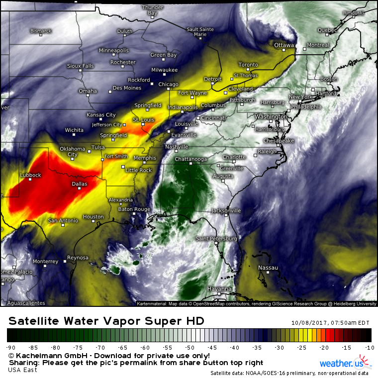
GOES-16 water vapor satellite imagery (what’s that?) shows a lopsided Nate moving through the Southeast this morning. The vast majority of the storm’s inclement weather is on the east side of the system as dry air from the Southern Plains erodes the western half. On the eastern side of the storm, showers and thunderstorms are ongoing this morning, and the risk of flash flooding will continue as the system cruises NE today.
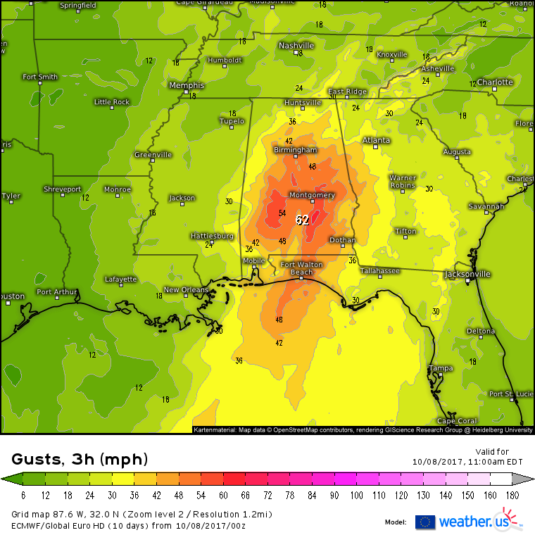
In addition to the flash flooding associated with the tropical downpours, gusty winds will continue to cause problems today. The ECMWF model shows wind gusts of 50-60 mph across a wide swath of Alabama this morning. Those winds will move into Georgia later today. While far from hurricane strength, even TS force winds can knock down trees and power lines, so that will be a threat to watch for today across the Southeast. 
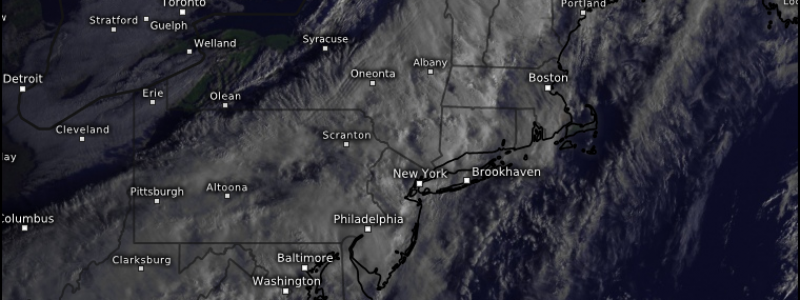
Elsewhere across the country, Nate’s moisture will add fuel to a frontal boundary moving through the Northeast today. Showers are expected in NYC, Boston, and Portland as that front moves through. Clearing skies and breezy west winds are expected behind the front this afternoon.
Unsettled weather will continue across the Rockies today as several disturbances line up to bring an early season snow storm to Colorado. I’ll have a full analysis of that system this afternoon/evening!
-Jack


