Maria Continues To Weaken, Minor Outer Banks Impacts Expected
Hello everyone!
The focus of the past few days has been Hurricane Maria which is moving north off the Carolina coast.
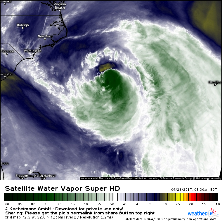
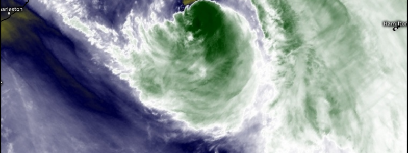
Maria has a less than stellar satellite appearance this morning, with only a small area of relatively weak thunderstorm activity sheared south of the center. Dry air has dominated the entire NW quadrant of the storm, which happens to the the part headed for the Outer Banks as the storm passes SE. This means that impacts on the Outer Banks, while still expected, are unlikely to be significant.
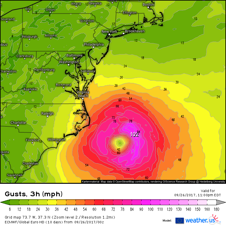
Tropical storm force winds are expected on the Outer Banks, but hurricane force gusts, let alone sustained hurricane force winds, will stay well offshore. 40-50 mph winds are easily handled with perhaps just a few trees falling on power lines.
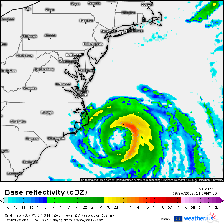
Showers will be moving onshore today and into tomorrow as the outer bands rotate through. However, the torrential downpours capable of inches of rain and major flooding will all stay well east of land. A few heavy showers adding up to an inch or so of rain is a fairly minor event.
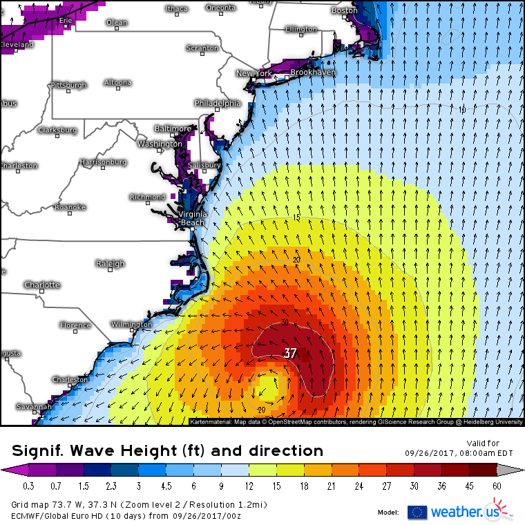
The one impact that hasn’t changed, as we have discussed in previous days, is the threat for very large swells. The Outer Banks has been hit with large swells nearly continuously for the past month, dating back to PTC 10 and the strong extratropical low it helped to develop. Continued battering of the beaches and sand dunes from Maria certainly won’t help the erosion situation there in the coming days.
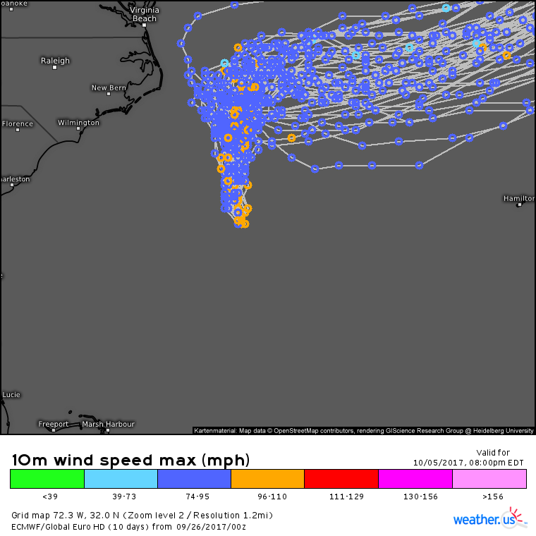
So what caused the change in impacts for the Outer Banks? I’ve been showing this EPS ensemble graphic (what’s this?) for several days now. Remember how in previous days the lines (potential track outcomes) were spread out all over the place from 100 miles inland over NC to 200 miles offshore? The very wide spread at such a short time frame was a hint that steering currents in this area were weak, and that the movement of the storm would be harder to predict. I even went through the upper air pattern and explained which features were responsible for the lack of strong track signals, and how the eventual track would depend on wobbles that were hard to predict. Sure enough, the storm is tracking towards the eastern side of that guidance envelope, which while not explicitly forecast, was certainly mentioned as a possibility.
Additionally, dry air was more widespread and quicker to disrupt Maria’s circulation than forecast. Notice the blues and yellows wrapping all the way in to the center of the system, with the greens displaced south and east of the center. Weakening was always expected, it just wasn’t expected to happen quite this quickly. Because the storm will move southeast of the Outer Banks, the worst weather will miss the coastline, as the dry NW quadrant moves onshore.
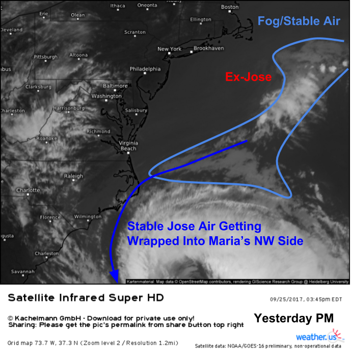
If you’re like me, you’re always asking “why?”. Why will impacts be less severe than expected in the Outer Banks? Because the NW side has weakened more than forecast. Why has that happened? I think the answer lies in one last parting shot from Jose before it died. Jose has been generating copious amounts of fog in the past week, as any resident of Cape Cod knows. This fog layer is very stable, making it thunderstorm kryptonite. As Jose drifted SW and Maria drifted N yesterday, Maria began ingesting Jose’s fog/stable air in its NW side. This resulted in the thunderstorms in the NW side of Maria collapsing, leaving scattered showers instead of a wall of tropical rain.
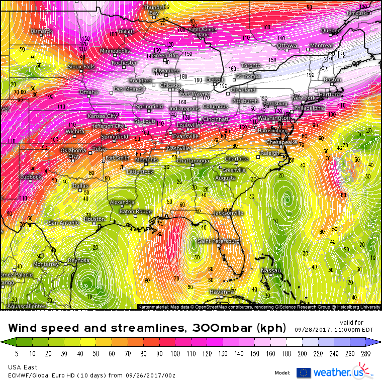
There remains very high confidence that a dip in the jet stream developing over the Great Lakes will force Maria swiftly ENE beginning Thursday. By Sunday, the storm will be near Iceland.
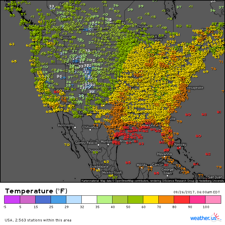
Elsewhere across the country today, we remain a nation divided, by a cold front.
Current observations as of this morning show very mild temperatures across the East, and much cooler temps in the Rockies. The cold front separating the two airmasses stretches from Texas up into Wisconsin, and will continue its slow journey east today. Remarkably little is happening along the front, with showers and thunderstorms generally remaining below severe limits once again today.
For more information on your local forecast, head on over to weather.us.
For more information on the local forecast for ME and NH, check out my local blog post from this morning.
I’ll be back with another update this time tomorrow!
-Jack

