Invest 97L Likely To Become A Tropical Depression In The Caribbean By This Weekend, May Impact The Gulf Next Week
Hello everyone!
The tropical Atlantic is heating up right on schedule as we approach the climatological peak of hurricane season and a wave of favorable conditions passes over the basin. There are two disturbances to watch closely for development during the latter half of this week into this weekend. The first, 97L, is currently located in the central Caribbean and will move west-northwest towards the Gulf of Mexico. The second, 98L, is located east of Barbados and will move west-northwest through the northern Lesser Antilles before making a run into the SW Atlantic. This post will discuss the forecast for 97L. Information on 98L can be found by clicking here (update coming later this evening, link will be added when that post is up).
 Satellite imagery shows a very healthy system despite nearby dry air, fast forward motion, and the usual hostile environment of the central/eastern Caribbean (due to strong low-level trade winds). Convection has been intense (-70 to -80C cloud tops) and persistent near the storm’s incipient center south of Hispaniola. The storm hasn’t yet closed off a center because it’s moving so fast through a region of strong trade winds (20-30kts), so it would need cyclone-relative 35kt winds to close off a center of circulation. That’s pretty hard to do especially in the early stages of development. So I wouldn’t expect the storm to be named today or tonight (or perhaps even tomorrow).
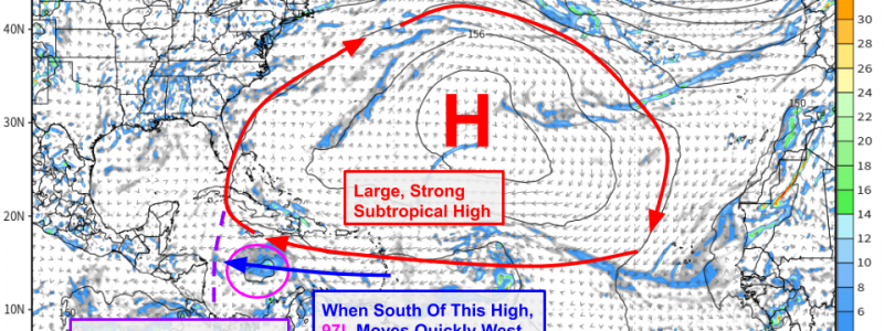
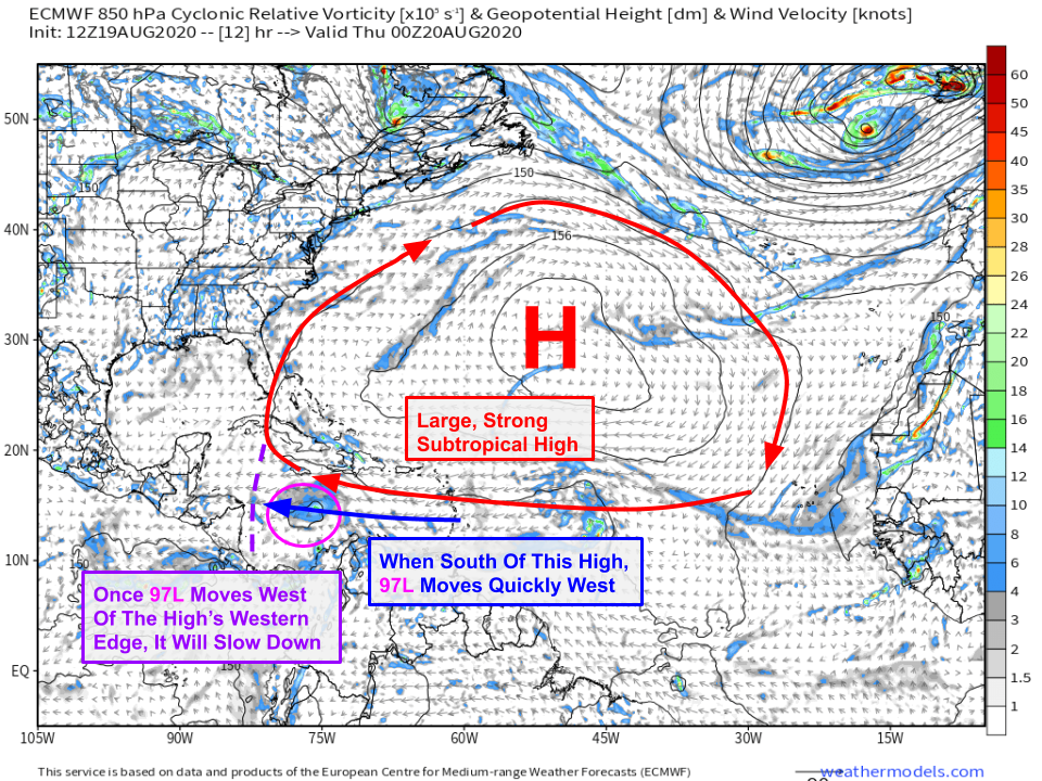
 So when will 97L slow down? Tomorrow is my best guess. The storm is moving quickly because it’s under the influence of a strong subtropical high over the central Atlantic. Once the system reaches the western edge of that high, it won’t be pushed nearly as hard to the west and will slow down as a result. This will happen sometime tomorrow as 97L approaches the coastline near the Honduras/Nicaragua border. The storm will then begin to turn towards the northwest as it rounds the western edge of that high and steering flow turns more southeasterly than easterly.
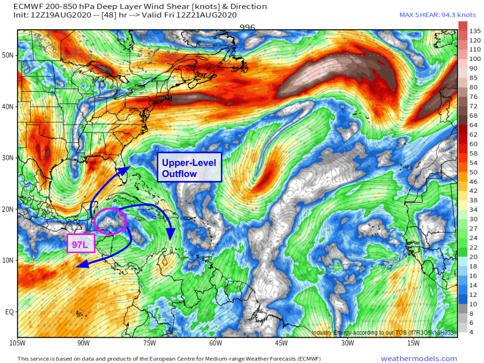
Once the storm arrives north of Honduras, it will be located in a very favorable environment for further development. It will be directly underneath a strong upper-level anticyclone which will help vent the system and protect it from strong wind shear. SSTs in this area are extremely warm (29-30C), and there won’t be much if any dry air in sight. The biggest limiting factor for 97L will be proximity to land. If the center wobbles onshore over Honduras, Belize, or the Yucatan Peninsula of Mexico, it will weaken and may not have much of a chance of significant development even after it eventually emerges into the Gulf of Mexico. If the center remains offshore, it will have a much better shot at taking advantage of the favorable environment and becoming a stronger storm.
 Here’s a look at the GEFS parallel ensemble forecast tracks for 97L. I’m using the GEFS instead of the EPS because I think the EPS is underselling the odds that this system could substantially strengthen while moving over the very warm waters of the NW Caribbean and southern/central Gulf of Mexico given the favorable upper-level environment. Of the GEFS members, about half of them either never really develop the system or send it into the Yucatan before it can really get going. Of those that develop the system, about half send it through the Gulf of Mexico as a tropical storm and the other half suggest it could be stronger (hurricane strength). That means that one of our tools pegs the odds of US impacts from 97L at roughly 50%, with the odds of significant impacts around 25%. I think that’s a pretty good estimate based on what we know at the moment.
What does this mean for you if you live along the Gulf Coast? You should plan to check in with the latest forecast information each day to make sure you’re aware if the forecast calls for more substantial impacts. I’d also suggest taking a look at your hurricane plan to make sure it’s ready in case you need it. At the moment, this is a storm to watch but not worry about. We’ll know much more about its eventual track and intensity this weekend after it forms a coherent center of circulation and either moves over the Yucatan Peninsula or continues developing offshore.
-Jack


