Heavy Rains In South Florida Today As East Coast Storm Begins Developing
Hello everyone!
Today’s weather will once again be relatively calm as the ingredients for our major East Coast storm I discussed in depth yesterday come one step closer together.
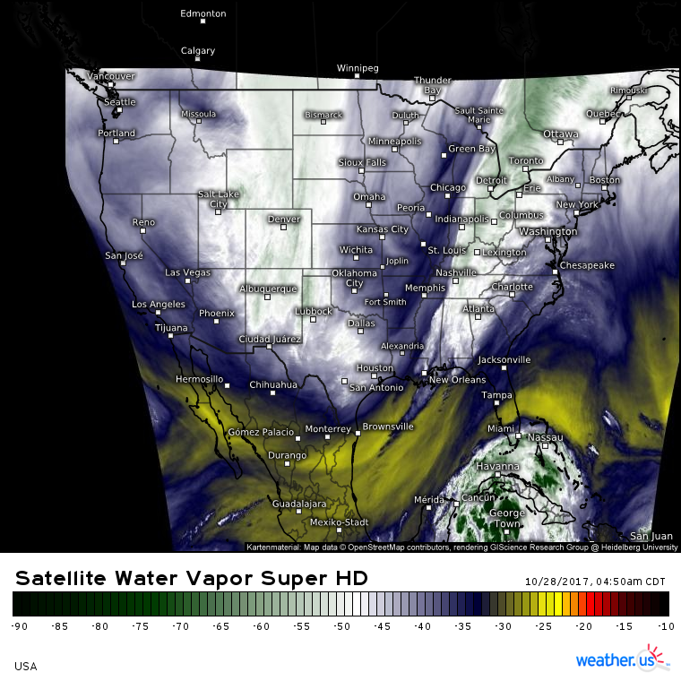
GOES-16 water vapor satellite imagery (what’s that?) highlights two main features to watch for today: a swirling mass of tropical moisture known as Potential Tropical Cyclone 18, and a cold front stretching from Mexico to Canada across the Eastern US.
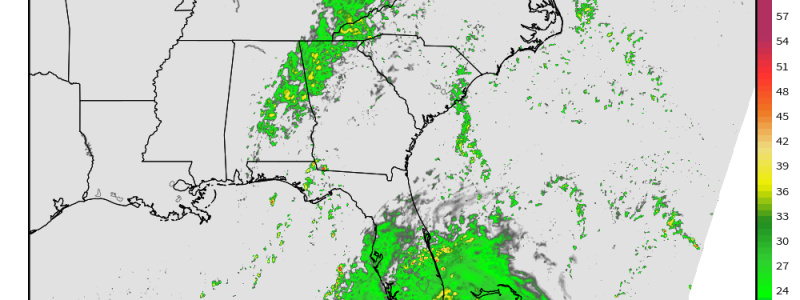
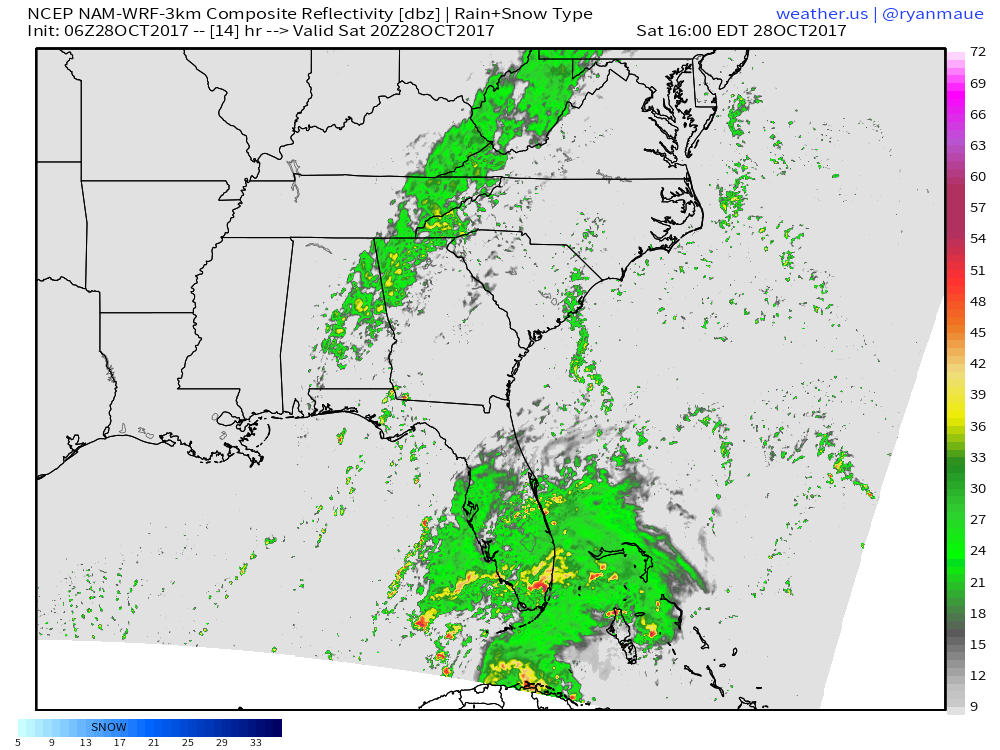
PTC 18 is expected to develop into Tropical Storm Philippe later today as it moves near the coast of Southern Florida. While no major impacts are expected in Florida, heavy rain and some gusty winds are forecast through the day today. This image also shows the southern end of the band of showers associated with the cold front moving east today. With little in the way of instability, no severe weather is expected along the front, which will feature a band of low impact showers.
The front and PTC 18 will combine tomorrow off the East Coast, resulting in the development of a strong extratropical storm. I discussed this storm, its forecast, and its dynamics in detail yesterday morning, and all of that information is still valid this morning. I’ll have an updated discussion this afternoon.
For more information on your local forecast: https://weather.us/
For more information on the local forecast for Maine and New Hampshire: https://forecasterjack.com/2017/10/28/the-calm-before-the-storm-6/
-Jack


