Heavy Rain And Gusty Winds Continue For New England Today As Cool And Dry Weather Dominates The Rest Of The US
Hello everyone!
Today’s weather focus will once again be on the East Coast as a strong cold front continues to linger just offshore. Another storm will form along the front tonight and move north today and tomorrow, bringing an additional round of heavy rain and gusty winds.
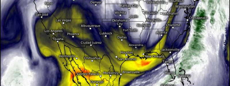
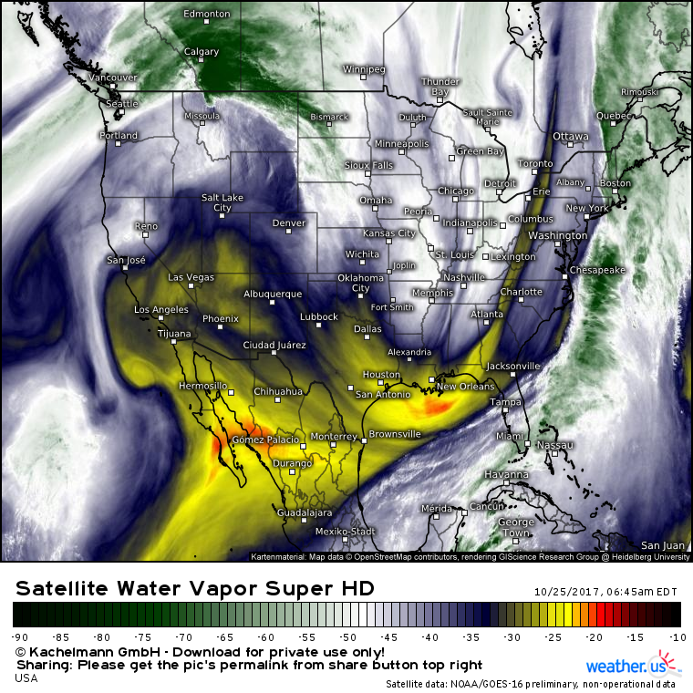
Water vapor satellite imagery shows the big picture this morning. The front is located just offshore, with heavy rain and wind continuing in New England. Additional energy is dropping south through Mississippi and will form a new storm when it intercepts the front later today. Across the west coast, large high pressure has pushed the stream of moisture north into Canada, resulting in dry conditions for our side of the border. Cool NW flow under the trough over the Great Lakes will be the dominant feature for the middle of the country today, with cool and dry weather expected there as well.
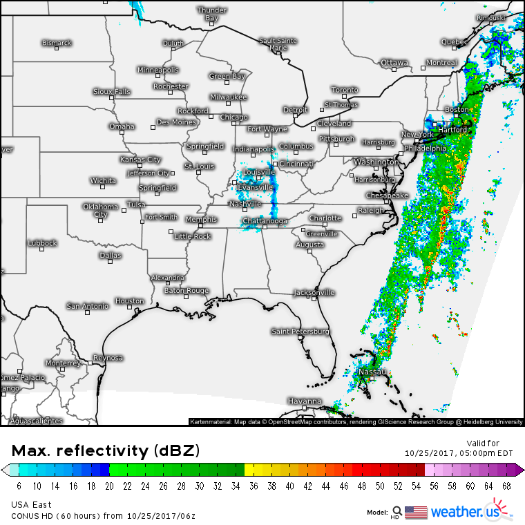
Simulated radar maps for this evening show the next storm gathering strength along the front just offshore. Most precipitation should remain confined to New England as dry air works into the Mid Atlantic region. I’ll discuss this storm more tomorrow!
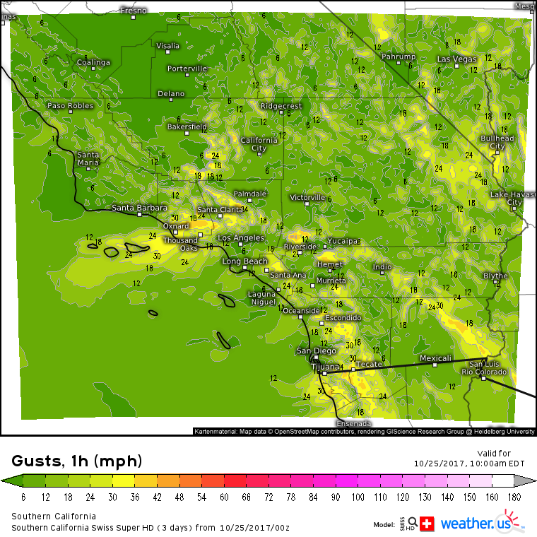
I mentioned high pressure returning to the West Coast today, and while that means that no precipitation is expected, dry weather plus gusty Santa Ana winds will raise fire danger concerns again this morning. While these winds will not be anywhere near as strong as the last round, gusts above 30 mph will create tricky conditions for firefighters.
For more information on the forecast for your location: https://weather.us/
For more information on the forecast for ME/NH: https://forecasterjack.com/2017/10/25/heavy-rains-and-high-winds-continue-today/
-Jack


