Flooding Rains Already Underway In Hawaii As Lane Continues To Approach
Hello everyone!
Lane has made its turn to the north today as expected, and heavy rains on the storm’s eastern side continue to impact the Hawaiian islands with flash flooding ongoing on parts of Maui and the Big Island. Lane is slowly weakening as it moves into a less favorable environment, but it remains a powerful and dangerous storm with 130 mph winds as of the 11 AM HST advisory. Despite the strong winds in the storm’s core, Lane’s biggest threat to Hawaii remains the rain, which has already piled up, and will continue to do so over the next couple days.
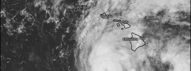
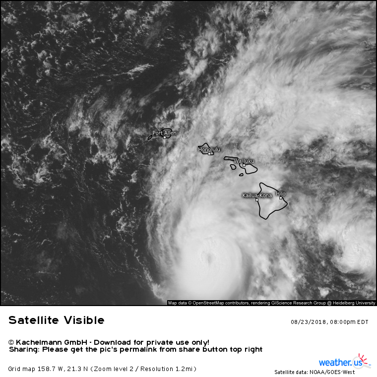
Satellite imagery shows a slightly-less-organized Lane moving NNW roughly at Oahu’s longitude this evening, and still a bit south of the Big Island. Upper level outflow has been all but shut down on the storm’s western flank as wind shear ramps up ahead of the upper level trough discussed in Tuesday’s update. That shear has been contributing to a weakening trend, with Lane’s maximum sustained winds now at 130 mph. While that’s not quite as strong as a couple days ago, Lane remains an extremely dangerous storm! Meanwhile to the northeast of the storm, lift and moisture transport from interaction with the right entrance region of a jet streak has resulted in expansive rain bands continuing to move over the Big Island and Maui, despite the storm’s center remaining well SW of both of those locations. Those dynamics will continue to promote heavy rain in those areas through the next couple days, with flash flood/mudslide concerns remaining.
Sea level pressure forecasts from the ECMWF model via weathermodels.com continue to show an area of low pressure developing in the lee of Hawaii’s Big Island as Lane’s inflow enhances the topographic influence on surrounding pressure fields, by increasing the magnitude of the wind. Curious about those dynamics? I talked a little bit more about them in last night’s update. Why is this important? Areas of low pressure like to take the path of least resistance as they move, which means they tend to move towards other low pressure areas if they can. That lee low pressure area will be helping to draw Lane to the northeast beginning later tonight.
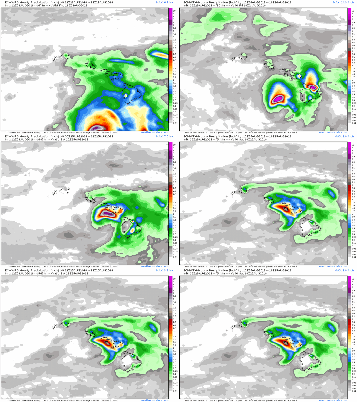
This animation of the ECMWF’s forecast for 6 hourly precipitation from this evening until Saturday via weathermodels.com. You can make out the storm’s core moving north, then north-northeast in the loop as it gets ‘lured’ in by the Big Island’s lee low. Upper level winds from the southwest, the same ones helping to weaken the storm via wind shear processes, will also contribute to this turning motion. Just how long the storm continues moving east of north tomorrow into Saturday will determine how close it makes it to Maui and its surrounding islands. Notice though that regardless of where the center tracks, Maui and the Big Island have a couple more days of very heavy rain to go. Expect flash flood and mudslide concerns to continue into the weekend!
I’ll have more info on Lane’s impacts farther up the island chain, namely in Oahu and Kauai, tomorrow. That post will include a look at what to expect wind and rain wise in those places, but if you need that information sooner, you can always find town-specific forecast data at weather.us.
-Jack


