Developing Low Pressure Set To Bring Severe Weather To Parts Of The Midwest Today
Hello everyone!
Our stretch of quiet weather is ending this morning as low pressure is set to develop across the Plains this afternoon. Out ahead of this system, strong to severe storms are forecast this afternoon and evening, with some activity already well underway. Damaging winds, large hail, and tornadoes are all threats with these storms.
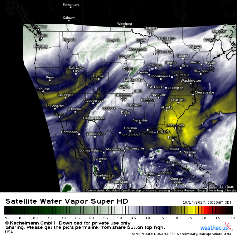
GOES-16 water vapor imagery (what’s that?) shows an upper level low pressure area located NE of Salt Lake City this morning. Out ahead of this system, Gulf of Mexico moisture is surging north. Air is also rising, and this lift is already contributing to showers and storms. As daytime heating adds fuel to the area, storms will intensify this afternoon and evening.
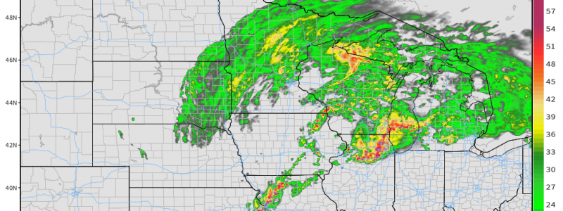
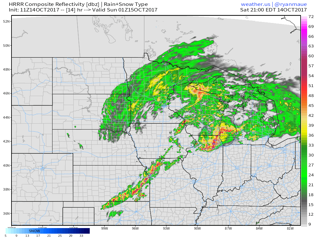
This HRRR simulated radar image shows severe weather well underway this evening along a cold front stretching from Iowa down into Oklahoma. These storms are likely to organize into a long, thin squall line with damaging winds being the main threat. Along the warm front, storms will also be firing from Wisconsin over towards Chicago and Michigan. Storms along the warm front will have the greatest chance to produce a tornado or two this evening along with damaging winds and large hail.
Keep an eye on today’s storms with GOES-16 satellite imagery, HD radar imagery, and high resolution model forecasts, all available at weather.us.
I’ll have another blog post this afternoon explaining some of the meteorological factors behind these storms if you’re interested in learning a little bit more about how the atmosphere works.
Elsewhere across the country today, generally quiet weather is expected.
For more information on your local forecast: https://weather.us/
For more information on the local forecast for Maine and New Hampshire: https://forecasterjack.com/2017/10/14/warmer-but-cloudier-today-2/
-Jack


