Cold And Dry Today
Hello everyone!
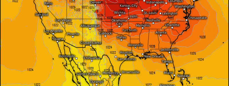
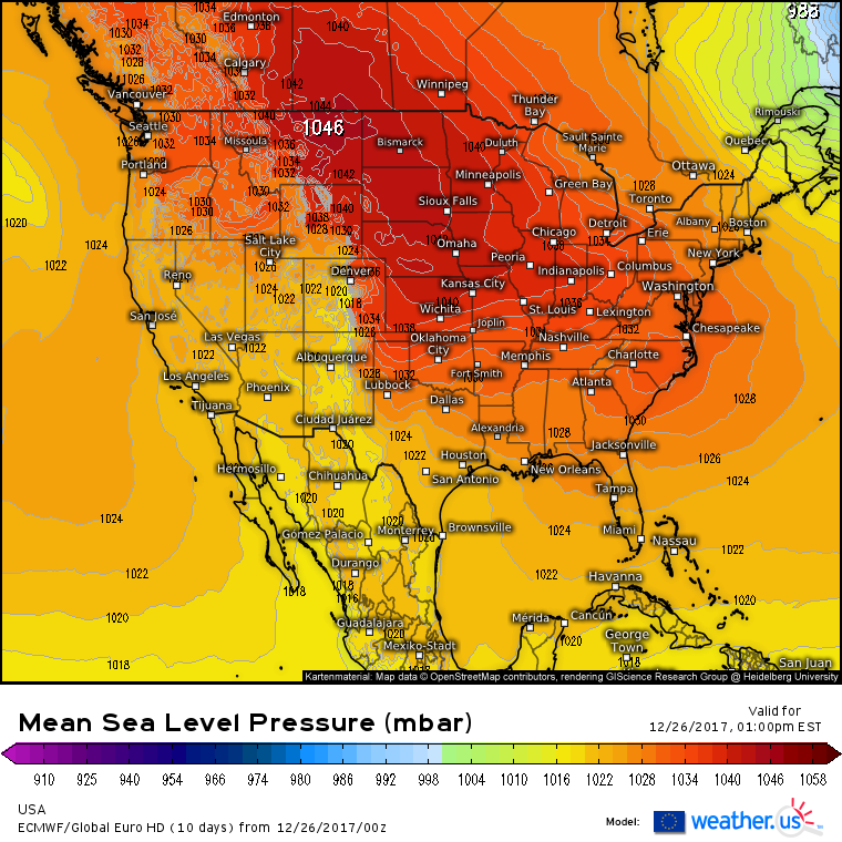
A sprawling and powerful area of high pressure will control the weather from sea to shining sea today, resulting in a calm but cold weather pattern.
The ECMWF’s surface pressure forecast highlights the wide reaching influence of this high pressure system. It stretches literally from coast to coast, and there are no low pressure centers to speak of across the entire lower 48 as yesterday’s New England storm has long since moved away into Canada.
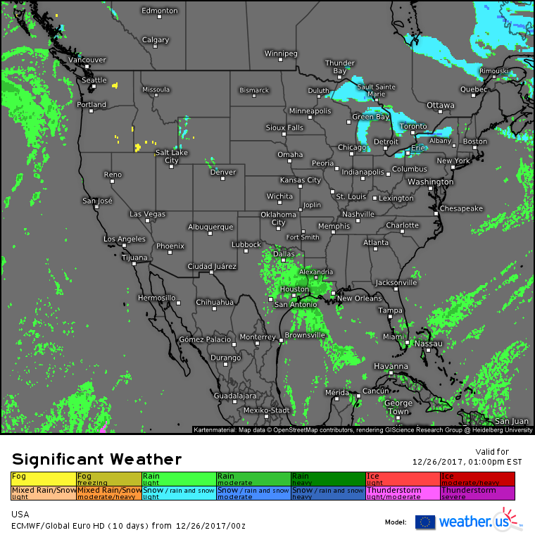
As a result, a quiet day devoid of precipitation is expected across most of the country today. However, you don’t need strong low pressure centers to produce rain showers in parts of SE Texas and Louisiana, and that’s what’s expected today as weak SE winds bring moisture from the Gulf of Mexico up and over the low level cold air spreading out from the high pressure system discussed above. The dynamics associated with this system won’t be strong enough to cause any major issues, and neither severe storms nor flooding rains are expected.
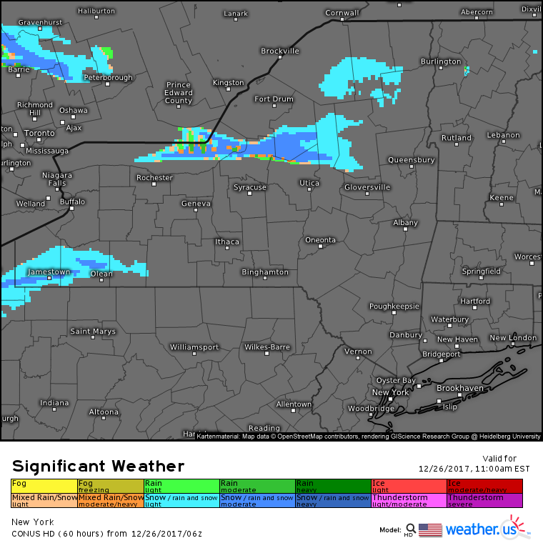
The only other area of active weather today will be a small zone downwind of Lake Ontario where lake effect snow will kick into high gear today as Arctic air pours east from the large high pressure system. Due to the west-east wind pattern, Ontario will be the favored lake for the heaviest snow, though lighter accumulations are expected downwind of Erie. Expect snow bands with rates of 2-4″ per hour, whiteout conditions and blowing snow in the band downwind of Ontario where accumulations will likely exceed 3 feet by the time this is all said and done.
For more information about your local forecast: https://weather.us/
For more information about the local forecast for ME/NH: https://forecasterjack.com/2017/12/26/arctic-invasion-begins-today/
-Jack


