Clipper System Brings Rain And Snow To Parts Of The Midwest
Hello everyone!
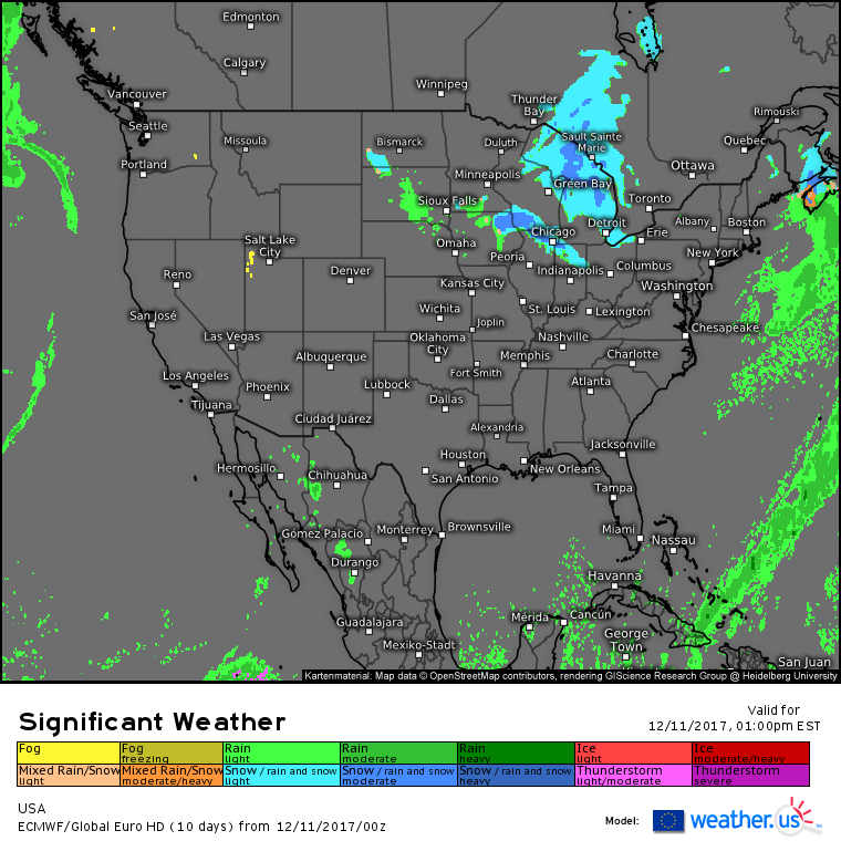
Today’s weather will be most active in the Midwest, where a clipper system will bring rain and snow as it moves quickly southeast.
The national overview map from the ECMWF shows very little in the way of active weather aside from this clipper. Even the clipper itself will be relatively tame and moisture starved until it hits the Atlantic Ocean tomorrow. Last evening’s post has much more information about that stage of the system’s life, and its impacts in New England.
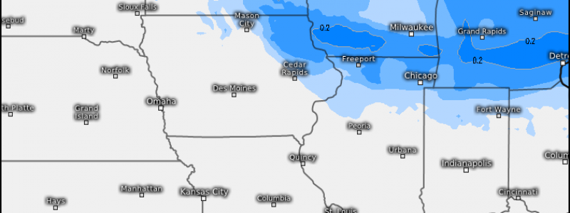
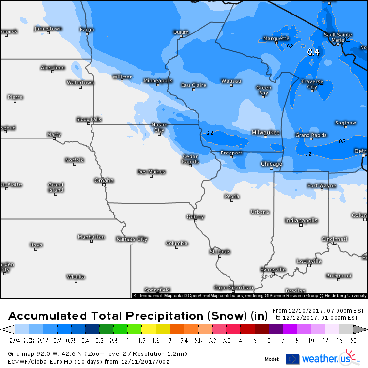
ECMWF accumulated total precipitation forecasts (what’s that?) show a wide swath where 1-3″ of snow is possible today. A band of higher totals is possible from Southern Wisconsin through southern Michigan, where 2-4″ is possible. This doesn’t include Lake Effect snow, which will crank up once again behind the system. Snow will fall with little in the way of intensity, making this a fairly low impact event overall. Snow will move quickly east with the system tonight.
Elsewhere across the country, quiet weather is expected today as various centers of high pressure establish control over the West Coast, Deep South, and Northeast regions.
For more information about your local forecast: https://weather.us/
For more information about today’s ME/NH forecast: https://forecasterjack.com/2017/12/11/weak-cold-front-brings-clouds-and-mountain-flurries-today/
-Jack


