Atmospheric River Continues To Impact The Pacific Northwest Today
Hello everyone!
Today’s weather discussion will once again focus on the Pacific Northwest, where an atmospheric river will continue to bring inclement weather through the day. Outside of the Pacific Northwest, extremely quiet weather will continue.
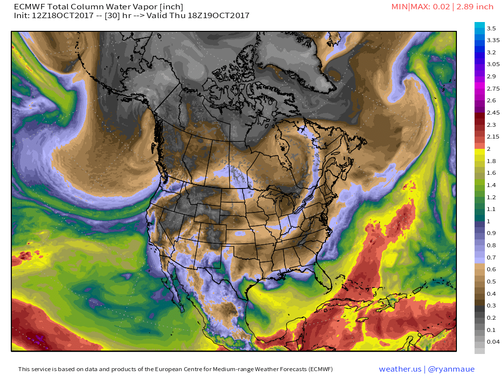
This map of atmospheric moisture from the ECMWF model shows a long river of moisture continuing to stretch from the tropical Pacific up to the coasts of Washington and Oregon. The river will be slightly weaker and farther south today compared to yesterday, and thus impacts will shift slightly farther south and will also be less severe.
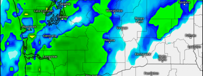
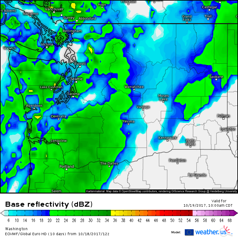
This simulated radar image from the ECMWF model shows this southerly shift well. Notice the steadier rains are forecast to be south of Seattle, with showery weather in the Puget Sound region. Also notice the lack of heavy rain (orange shading) forecast for today compared to the very heavy rains that fell yesterday. Snow will continue to fall in the high elevations, but snow levels will remain quite high today so little in the way of impacts are expected from heavy snowfall.
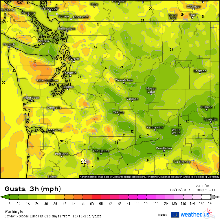
Winds will also be calmer compared to yesterday. While yesterday saw widespread 40-50 mph wind gusts with some higher elevation hurricane force readings, today will feature widespread 20-30 mph wind gusts with some high elevation areas nearing 50 mph wind gusts. While these winds could still bring down some fragile branches, impacts from wind will also be noticeably less compared to today.
Elsewhere across the country, quiet weather is expected to continue. Some showers are expected in parts of the Southwest, as well as parts of Florida and Texas. These areas of showers will not bring any meaningful impacts.
For more information on your local forecast: https://weather.us/
For more information on the local forecast for Maine and New Hampshire: https://forecasterjack.com/
-Jack


