Defeating the Drought
Let’s talk about the state of the drought in California today.
As many know, prior to the winter of 2022/2023, much of California was in a very serious drought. Years of much-below average precipitation had lead to a large area of extreme and exceptional drought defined over the state. Reservoirs were reaching critical levels. Some were at their lowest levels in recorded history. A few were even within a couple of years of “dead pool” status.
Enter the Winter of 2022/2023:
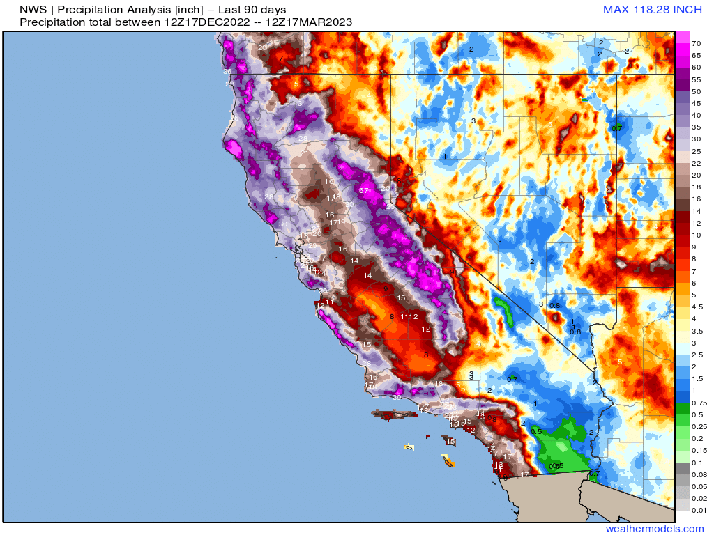
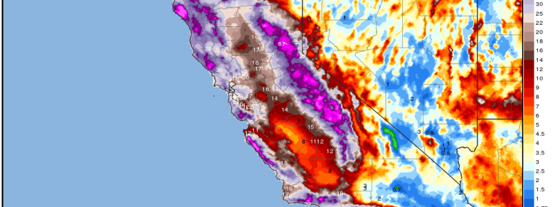
Just after Christmas 2022, the atmospheric rivers started coming and they didn’t stop coming. A strong sub-tropical jet stream aimed itself at California and would not relent. Weekly, if not bi-weekly, storms continuously dumped water on the state. Three months later, some cities have received almost as much/more precipitation than they typically see in an entire year’s time!
So, about that drought…
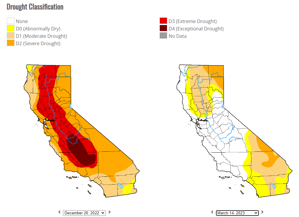
In just under 3 month’s time, the extreme and exceptional drought that had been years in the making has been completely eradicated from Central California. Drought still lingers for the northern and southern portions of the state, but vast improvements have been made.
When you think about how deeply California was in drought and for how long, the complete recovery the central portion of the state has made is nothing less than astonishing.
It has come at a cost, though.
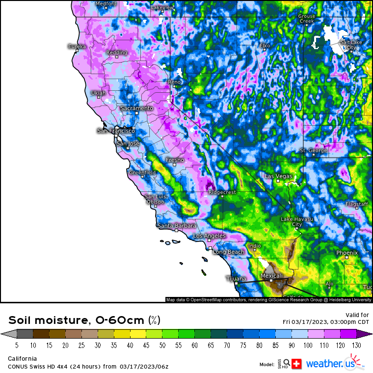
A near-constant parade of moisture with few meaningful dry periods in-between has left soils across much of the state saturated, or even over-saturated. Flash floods, debris flows, and mudslides have damaged homes, businesses, and infrastructure. They have even taken lives.
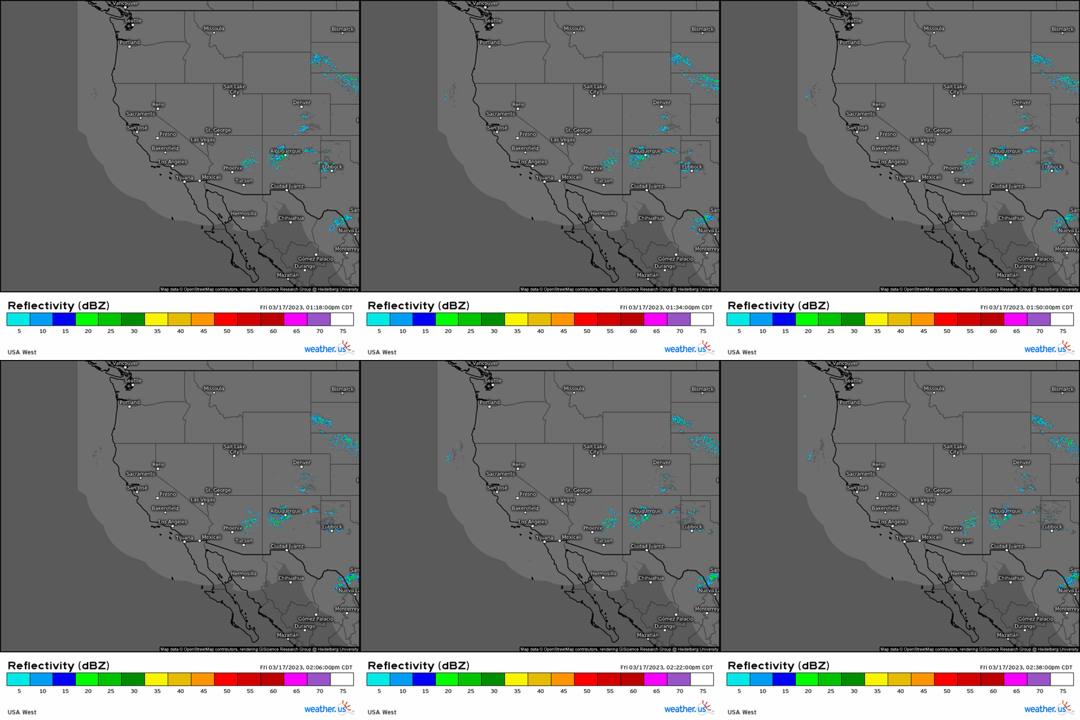
Despite the current quiet conditions for the state, the next event is in sight. Or, two events, really.

Two “smaller” events are on tap for California. The first arrives early Sunday and remains rather weak. The second arrives late Monday/early Tuesday and seems to be just a little stronger.
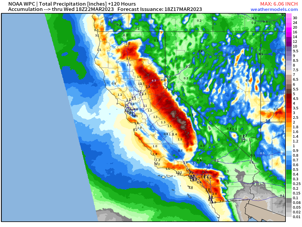
By mid-week, both of the aforementioned events could add up to widespread additional 1 to 3 inches of rain.
That may not seem like much compared to some of the larger events seen in the past 90 days, but keep in mind that soil in this region is already saturated. Any further precipitation at this point will not be absorbed into the soil, but instead become runoff. Some localized flash flooding could occur as a result.
In the colder elevations, another few feet of snow is likely through mid-week. As we creep closer to the warmer months, we’ll need to monitor the well-above average snowpack for rapid melt as this could once again flood the lower elevations. But we’re not there just yet.
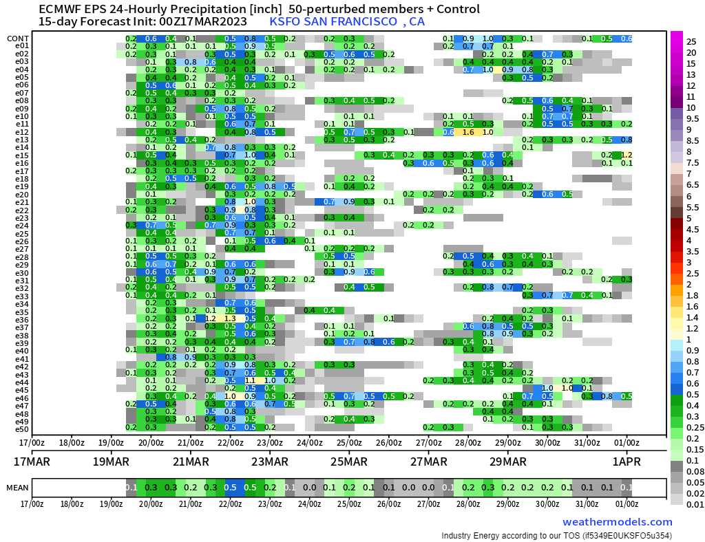
Over the next two weeks, no real, extended dry period seems likely. However, any precip totals seem to remain on the lower end in the ensembles. If we can’t get a solid dry period, maybe, just maybe the state will get a chance to dry out a bit with lighter overall rainfall.


