As East is Drenched, Isolated Flood Concerns Build West
An unusually stratified atmospheric setup at the hands of blocked midlevel flow is driving a great deal of rain in the eastern third of the US, with a period of anomalous dry further west. And, as the Southeast contends with flooding dealt by the deluge, the West will also face a hydrological threat, albeit of different breed.
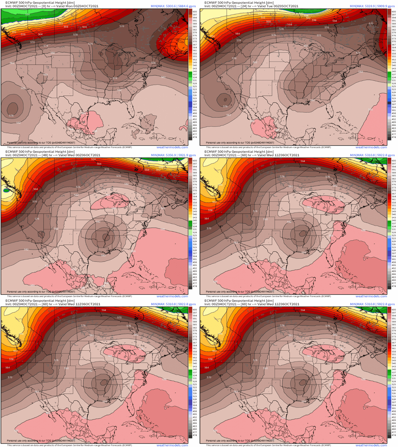
As a cutoff low dances through the middle of the US over the next 48 hours, a slow-moving closed low over the eastern Pacific will be swept towards the California coast by an approaching longwave.
As this occurs, evacuation of mass aloft will promote an influx of moisture, which will surge towards the four corners region tomorrow.
This part of the country typically is not host to deep tropical moisture, the likes of which will be flowing readily from the Pacific. The result will be quite anomalous atmospheric water vapor for the region. As measured by precipitable water content, the moisture moving into the four corners region this week is extremely anomalous.
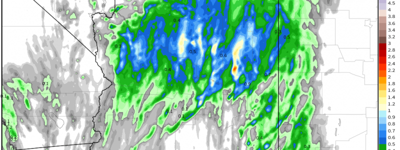
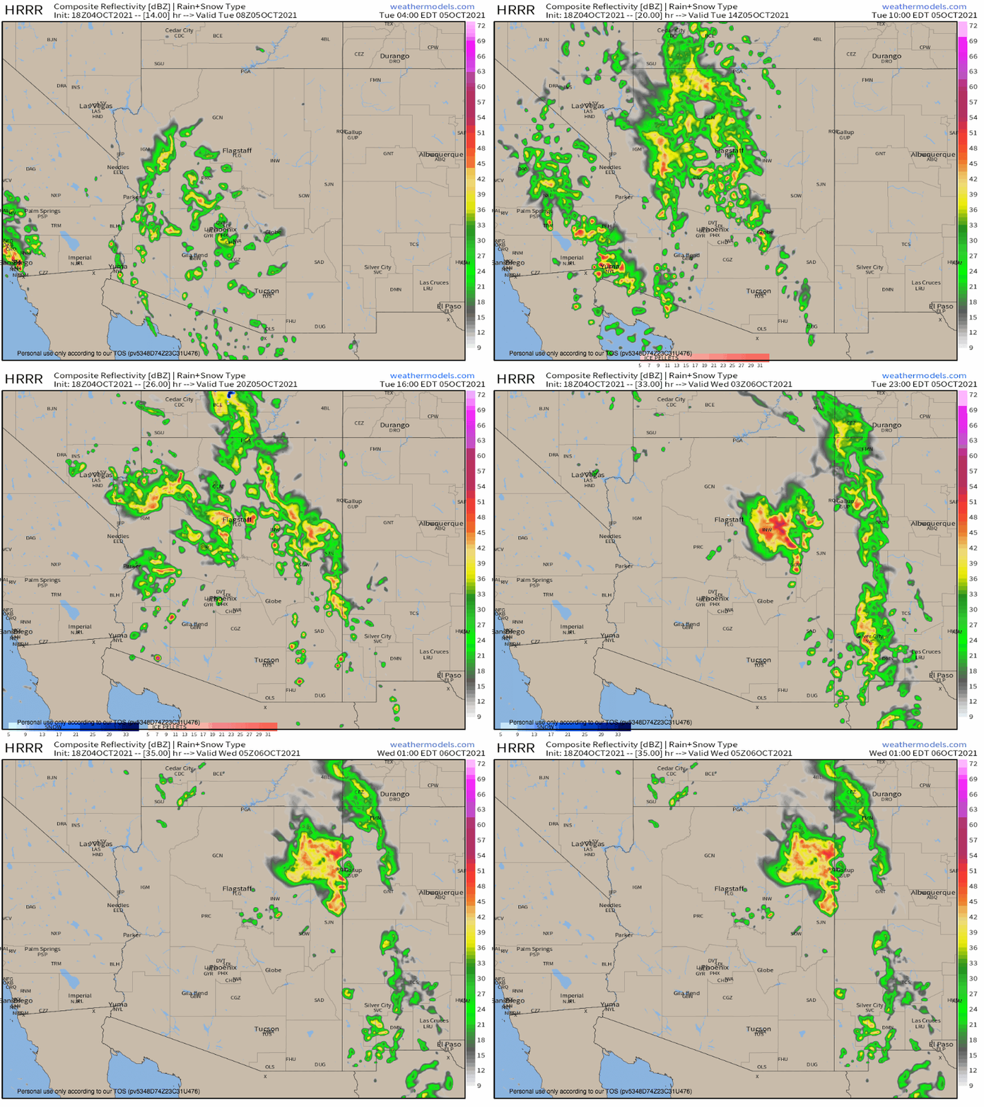
As this plentiful moisture spreads north, it will interact with the complex topography that defines the region, and will be lifted into rain. While most places likely will not see much, isolated locations could see a lot. This is problematic: soils near the four corners often don’t have the same absorptive capacity familiar to the central and eastern US, and the same topography that lifts rain into existence could channel flow into flash floods.
So, while no widespread flooding is likely, stay weather aware tomorrow in the four corners region. Turn around don’t drown, and stay away from canyons if possible.
Another concern, given moisture-induced instability, is that storms could produced an isolated downburst or large hail stone. This should also stay isolated, but given the large population of Phoenix, could be worth looking out for.


