Tropical Storm Gordon Set To Make Landfall On The Mississippi Gulf Coast Tonight
Hello everyone!
This morning’s Gordon update is in video format, where I break down the latest forecast for the system, and what to expect impacts wise from the Mississippi Gulf Coast up into Arkansas.
Links to track the storm can be found below in order of appearance in the video.
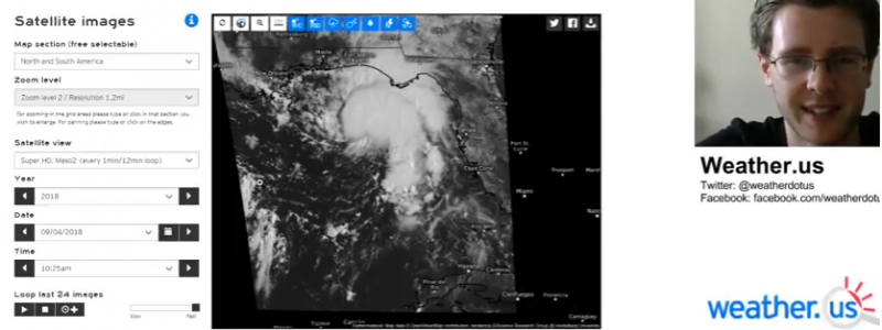
GOES-East 1 minute visible imagery: https://weather.us/satellite/848-w-267-n/satellite-superhd2-1min.html#play2
GOES-East 5 minute IR imagery: https://weather.us/satellite/876-w-320-n/top-alert-superhd-5min.html#play4
In case you’re not familiar with satellite imagery, or satellite imagery at weather.us, check out my tutorial video.
Lightning analysis: https://weather.us/lightning/862-w-301-n/20180904-1425z.html
In case you’re not familiar with our lightning analysis product, check out my tutorial video.
HD radar imagery: https://weather.us/radar-us/862-w-301-n/reflectivity/KEVX.html#play
High resolution model forecasts: https://weather.us/model-charts/conus-hd/876-w-300-n/windspeed-barbs/20180905-0300z.html
Biloxi XL wind forecast: https://weather.us/forecast/4418478-biloxi/xl/euro/mean-wind-speed
In case you’re not familiar with our Forecast XL product, check out my tutorial video.
Rainfall maps and HRRR simulated radar via weathermodels.com.
Any map can be zoomed in by clicking the map image. Use the menus to the left of each image to toggle parameters/models/zoom/other settings.
-Jack


