Bitter Cold In The East Behind Departed Blizzard, Rain And High Mountain Snow Returns Out West
Hello everyone!
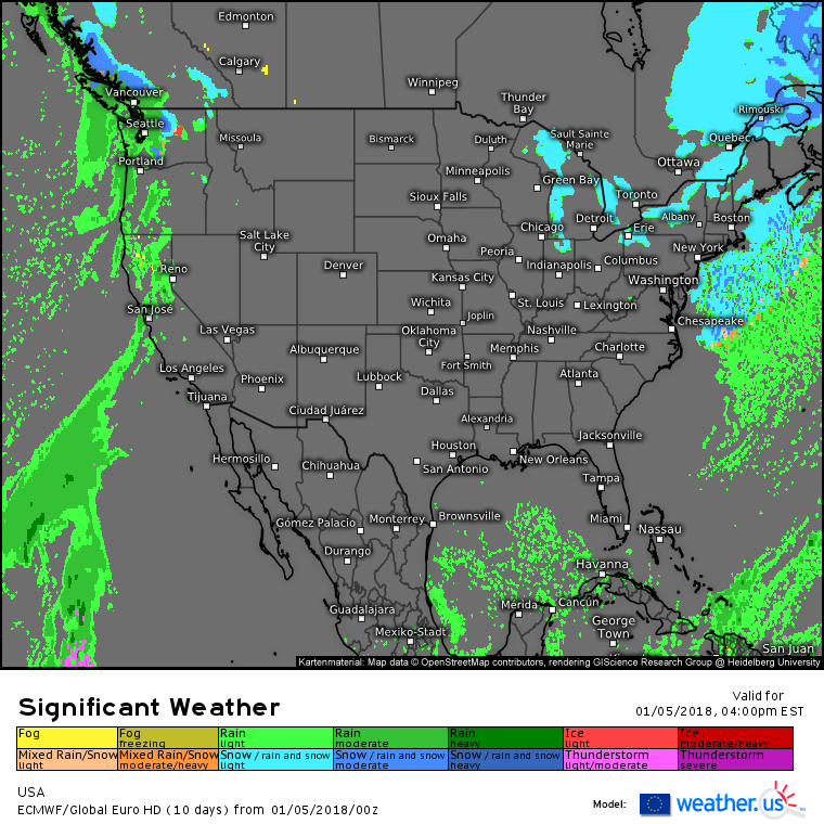
Today will feature brutal cold up and down the East Coast as gusty NW winds on the back side of yesterday’s blizzard carry air straight from the Arctic southeast. Wind chills will become dangerous in the Northeast this afternoon, and below zero wind chill values will expand as far south as the Carolinas by tomorrow morning. Meanwhile, tranquil weather will be enjoyed by folks in the middle of the country as well as across the intermountain west due to a large ridge of high pressure. On the West Coast, expect rain to develop today for all but the highest peaks of western Washington, Oregon, and northern California, where snow will be expected.
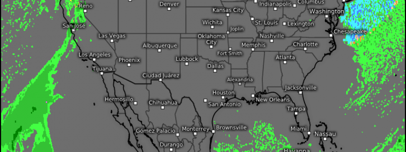
Here’s the ECMWF’s overview map for this afternoon highlighting who’s expected to see active weather today. The one thing that doesn’t show up on this map is the cold, which as I mentioned above will be an issue for much of the East. If you’re in the East, bundle up, if you’re in the center of the country, enjoy a lovely winter day, and if you’re on the West Coast, pack the umbrella. After a couple days of extreme weather, today will be pretty mellow.
For more information about your local forecast: https://weather.us/
For more information about the local forecast for ME and NH: https://forecasterjack.com/2018/01/05/falling-temps-today-as-arctic-air-pours-in-behind-our-departed-blizzard/
-Jack


