Light Wintry Precipitation In The Deep South Today
Hello everyone!
Arctic high pressure continues to remain in charge of the weather across the US today, resulting in a continuation of our stretch of quiet weather. The one exception today will be across parts of the Deep South where a little bit of Gulf of Mexico moisture will interact with the southeastern edge of the high pressure system resulting in a light wintry mix.
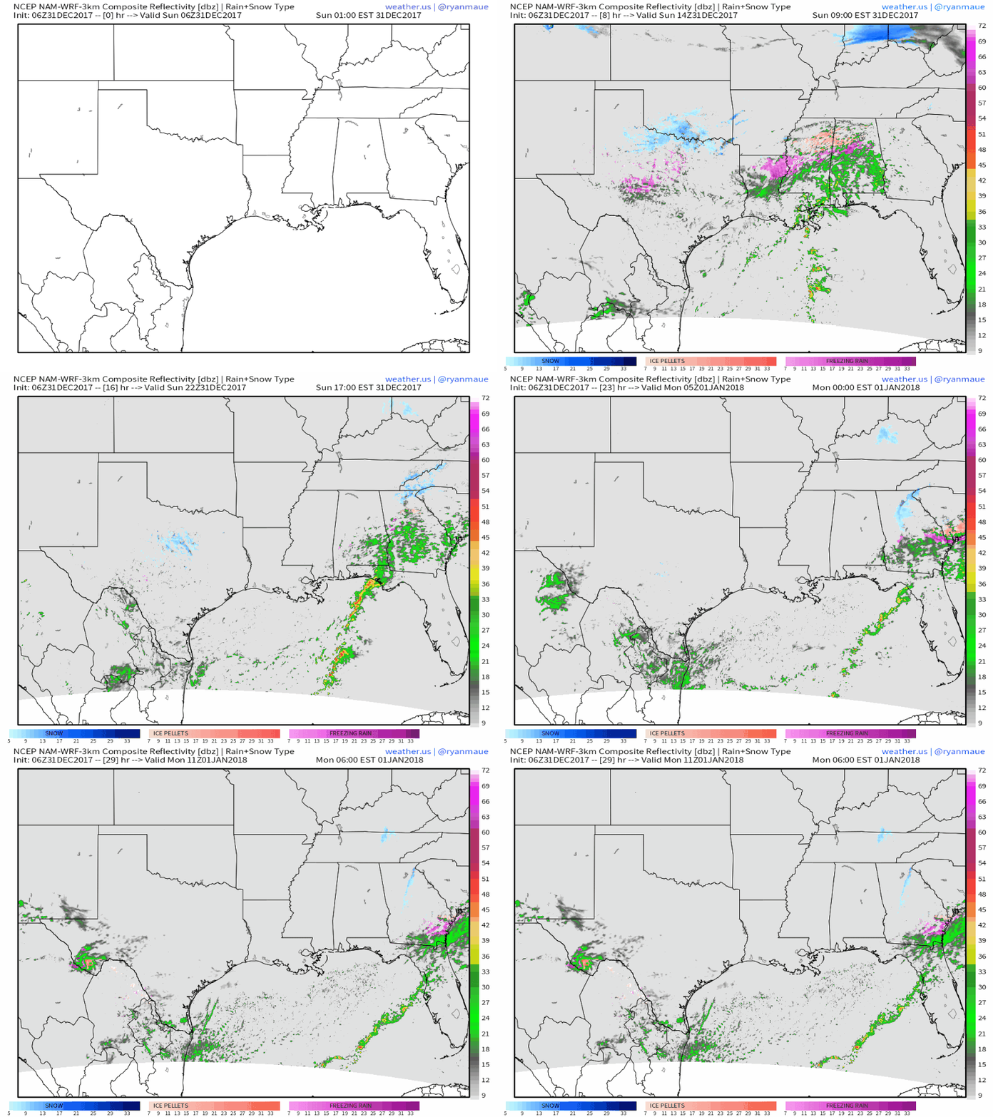
This simulated radar animation from weathermodels.com shows a wide area of light snow, sleet, and freezing rain stretching from northern Texas east to NE Louisiana, central Mississippi, and even as far SE as coastal Georgia by tomorrow morning. The precip won’t be heavy, and accumulations of snow and ice will hardly be impressive, but it really does only take a thin glaze to cause big travel problems, especially in areas not accustomed to dealing with winter weather.
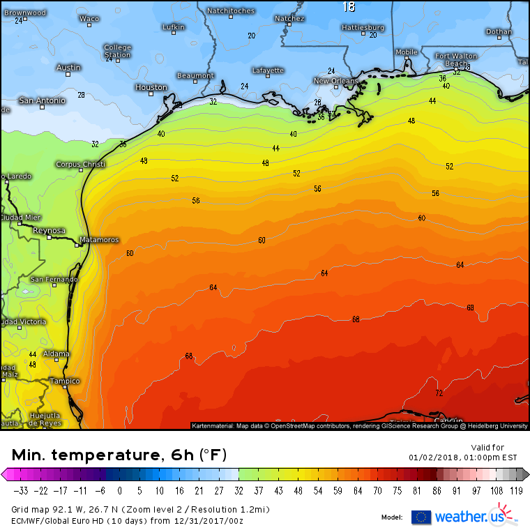
This precipitation is associated with a frontal boundary, and as it moves offshore tomorrow, temperatures will plummet. Hard freezes are expected all the way to the Gulf Coast by Tuesday morning as temps drop into the mid 20’s. You won’t have to go too far north into Mississippi to find lows in the teens. Be sure to take precautions to insulate plants and pipes that will be sensitive to the cold!
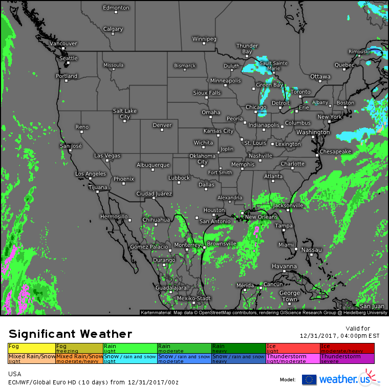
Elsewhere across the country today, the cold dry pattern will continue from coast to coast. Lake Effect snow will continue to bring locally slick roads and reduced visibility to areas downwind of lakes Superior and Michigan, but other than that, there’s really not much else to discuss. Bundle up!
For more information about your local forecast: https://weather.us/
For more information about the local forecast for Maine and New Hampshire: https://forecasterjack.com/2017/12/31/bitter-cold-returns-today/
-Jack


