Pacific Storm Brings Increased Rain And Mountain Snow To Washington, Idaho, And Montana Today
Hello everyone!
Today will feature another day of cold and dry weather in the East as high pressure retains control of the weather across much of the nation. However, active weather will return to the west as a Pacific storm brings a renewed burst of rain and mountain snow to parts of Washington, Idaho, and Montana.
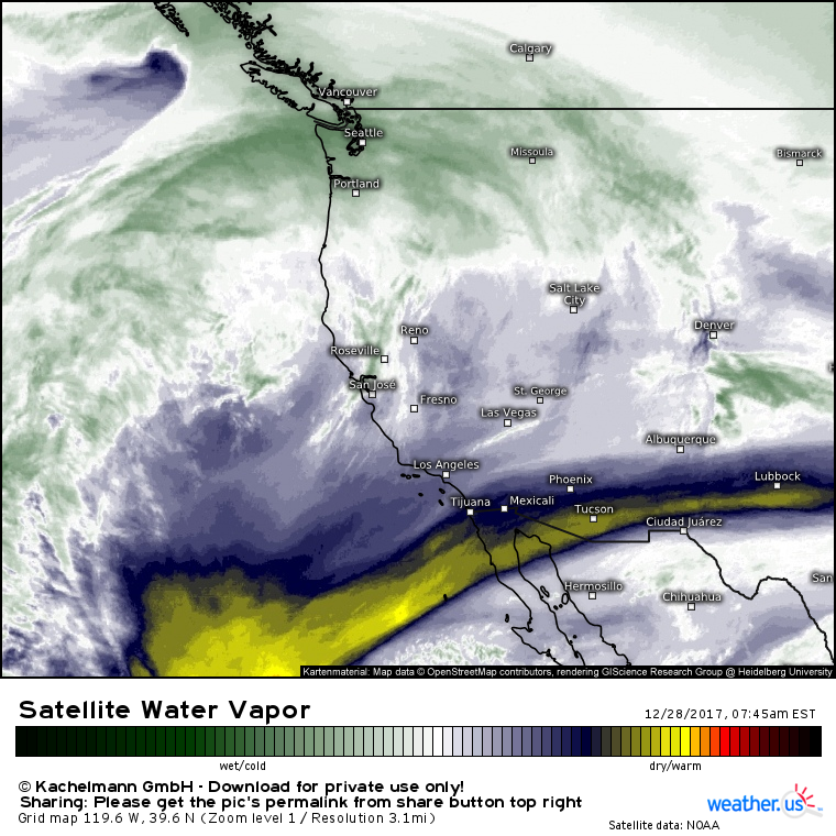
Water Vapor satellite imagery shows a storm system moving into the British Columbian coastline this morning. To the south of this system, tropical moisture is streaming north and east towards Seattle. This plume of tropical moisture will get wrung out over the various mountain ranges that make up the Northern Rockies, and high terrain from Washington to Montana will see hefty snow accumulations today.
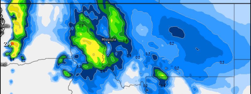
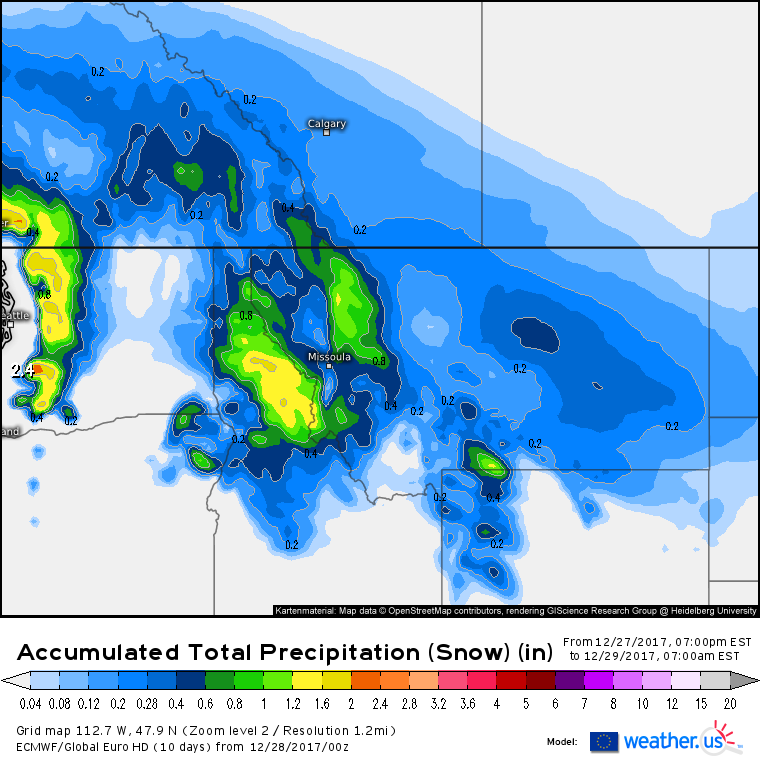
This is the ECMWF’s liquid equivalent snowfall forecast (what’s that?) through tomorrow morning. The jackpot regions for snow accumulation will be the Cascades of Washington and the mountains of North-Central Idaho. Over 1″ of QPF (a quantitative precipitation forecast) is expected to fall in these areas, which will translate to 1-2 feet of snow. Lighter amounts are forecast across northwestern parts of Montana and Wyoming, both of which will be slightly farther removed from the Pacific moisture source. As the Pacific airmass encounters the bitterly cold Arctic air in place across the lower elevations of Montana, snow will break out independent of terrain influences. However, with a diminished moisture supply and a lack of terrain induced dynamics, amounts will be much lighter, generally in the 1-3″ range though a few 4-5″ amounts can’t be ruled out.
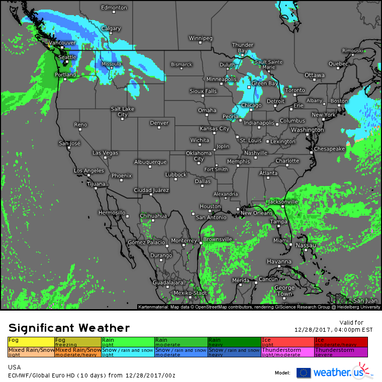
Here’s the ECMWF’s overview map for today showing our activity in the Pacific Northwest/Northern Rockies area, as well as the quiet weather expected for the majority of the rest of the country. A weak disturbance will bring light to moderate snow to parts of the Upper Midwest, but aside from lowered visibilities and slick roads, no major impacts are expected. Rain showers that impacted parts of the Southeast yesterday will move south into Florida today as Arctic air continues its advance SE.
For more information about your local forecast: https://weather.us/
For more information about the local forecast for ME/NH: https://forecasterjack.com/2017/12/28/arctic-cold-today/
-Jack


