Light Snow Continues Across The Northern Rockies Today While A Wintry Mix Moves Out Of The Deep South
Hello everyone!
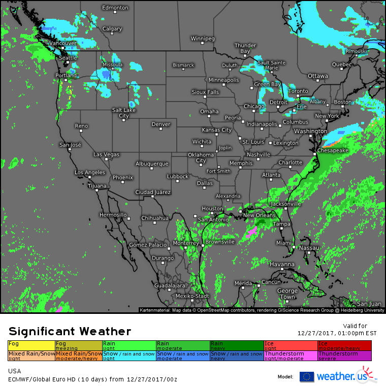
Today will feature another predominantly cold and dry day across the US as strong Arctic high pressure continues to exert control of the nation’s weather from its perch in the Northern Plains.
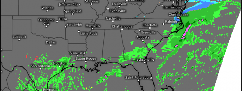
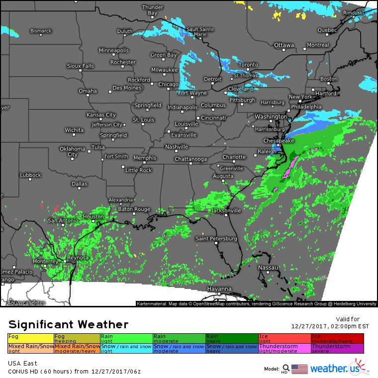
The southern edge of this high pressure will be the focus for today’s most active weather. Gulf of Mexico moisture will be forced to rise up and over the low level cold airmass in place due to the high pressure system, and the result will be rounds of light to moderate showers for much of the Southeast, especially this morning. Temperatures earlier this morning were cold enough for a few snowflakes to mix in with the rain near Atlanta, but as the day goes on expect the wintry precipitation threat to diminish and eventually end altogether as temperatures rise above freezing across the entire area.
Farther north, cold air continuing to spill southeast across the Great Lakes will result in additional Lake Effect snow accumulations for areas downwind of each of the lakes. Additional accumulations of over a foot are possible in the heavier bands.
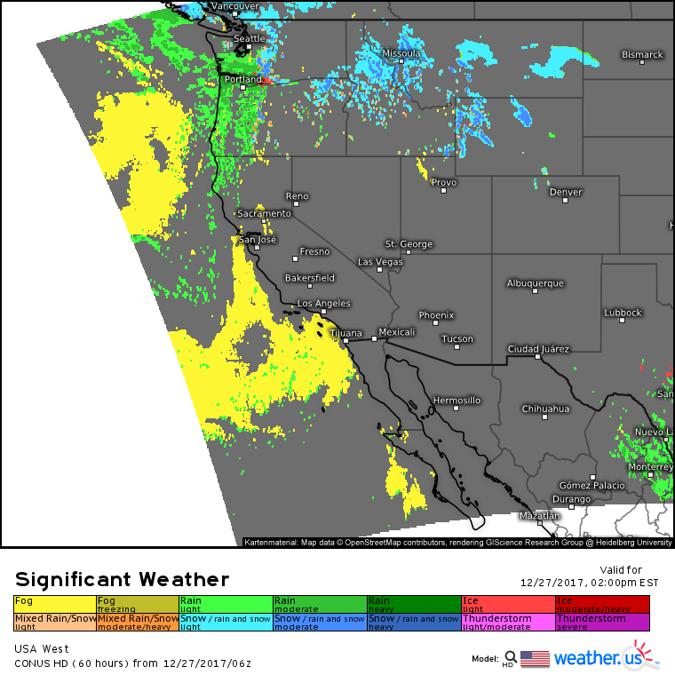
A weak stream of Pacific moisture will result in continued light to moderate rain and mountain snow across parts of the Pacific Northwest today. Because the dynamics associated with this system are fairly weak, no significant impacts are expected, but if you’re headed up and over the passes, as always, be on the lookout for slick travel conditions.
For more information about your local forecast: https://weather.us/
For more information about the local forecast for Maine and New Hampshire: https://forecasterjack.com/2017/12/27/bitter-cold-today-5/
-Jack


