Another Weak System To Bring Snow To Parts Of The Coastal Mid Atlantic
Hello everyone!
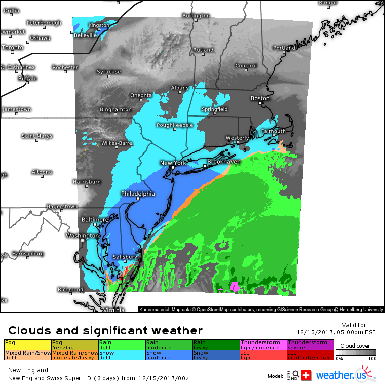
Yesterday’s clipper system is long gone today after having dropped a couple inches of snow on parts of the Mid Atlantic yesterday morning. However, there’s another system lined up for today that will bring many of the same impacts to many of the same areas. This system will be a little farther south, but we’ll be looking at the same type of impact situation, with a wide area of low impact coating-2″ snow, and a narrow band of slightly more impactful 2-4″ amounts.
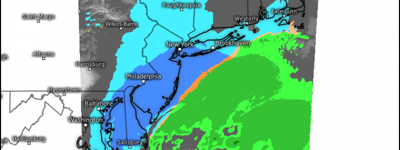
Swiss Super HD model forecasts highlight this system’s impacts well. A wide area of light snow is expected from Southern New England back into Eastern PA and even as far south as the Baltimore-Washington area. However, within this light snow shield, a heavier band is expected somewhere in the Delaware-New Jersey area. The intensity of that band, and its exact location will determine who gets the 2-4″ snow totals that could cause appreciable issues for the evening commute. No matter what happens with this system this evening, it will race out to sea tonight, leaving just flurries in its wake for parts of coastal New England.
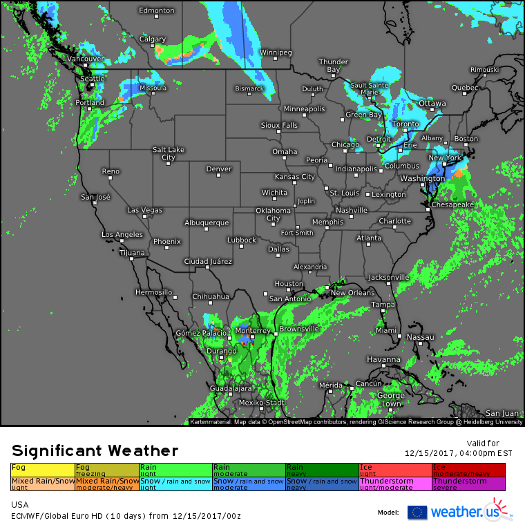
Elsewhere across the country today, it’s another day of relatively quiet weather. An Arctic disturbance moving SE through Michigan will be too slow to turn the New Jersey storm into anything major, but it will bring snow showers and squalls to parts of the Great Lakes. A stalled front will try to lift north a bit today across parts of southern Texas, with some rain shower activity expected there. The Pacific storm train will drift southward today, and as a result rain and mountain snow is expected for parts of Washington and Oregon. No major impacts are expected from that system, but if you’re travelling up through the passes, watch for slick roads.
Quiet weather will remain in charge for much of the central part of the country today.
-Jack


