Snow Departs The New York Area This Morning, Quiet Weather Expected Elsewhere
Hello everyone!
Today will feature a day of predominantly quiet weather across the US as recent cold fronts have pushed any deep tropical moisture capable of heavy precipitation well south of even the Gulf Coast. As a result, we’re looking at two light precipitation events today, with a lot of dry weather in between.
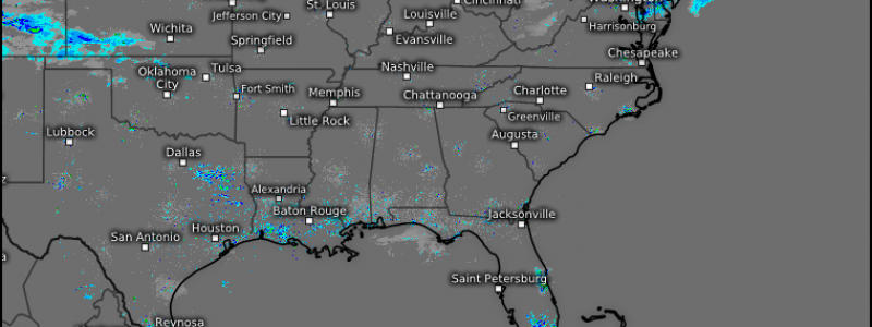
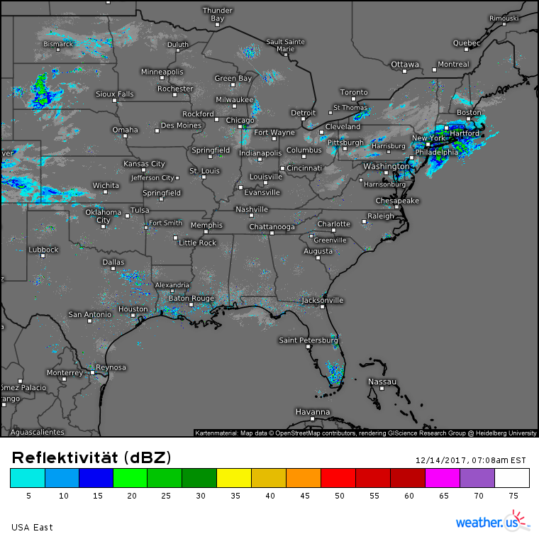
Composite radar imagery shows both of our weak disturbances producing some light rain and snow this morning. The first is located off the New Jersey coast, with light to moderate snow impacting parts of SE MA, CT, SE NY, and eastern NJ. This system is racing east, and snow will wrap up across these areas by noon. The second disturbance is drifting south across South Dakota. Temperatures are warmer in this area, due to upper level ridging across the West Coast that is spilling over into the western Plains (why does ridging aloft lead to surface warmth?). As a result, a mix of rain and snow is expected as this disturbance continues to drift southward.
The ECMWF’s overview map for this afternoon shows the eastern system long gone into the Atlantic by 4 PM. The Plains system will be bringing light rain and snow showers to areas ranging from Kansas to South Dakota. No major impacts are expected, but some slick spots are possible where snow falls. Elsewhere across the country, quiet weather is expected.
For more information about today’s forecast for your town: https://weather.us/
For more information about today’s forecast for ME/NH: https://forecasterjack.com/2017/12/14/a-chilly-but-calm-day-today/
-Jack


