Redeveloping Clipper Brings Northeast Rain And Snow Today
Hello everyone!
Today’s active weather will be focused in the Northeastern part of the country today as a redeveloping clipper system brings heavy rain and snow.
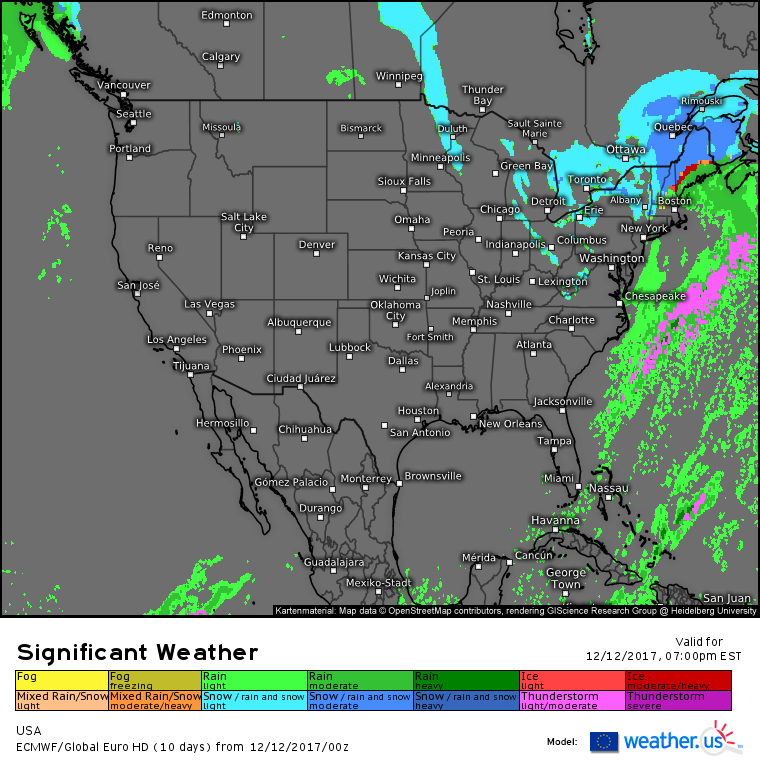
The national overview map from the ECMWF shows activity concentrated in the northeast today. Arctic air will be dropping south over the Great Lakes resulting in a renewed push of Lake Effect snow behind the departing storm, which will bring heavy rain and mountain snow to New England. For a full analysis of that storm, and the meteorology behind it, Sunday afternoon’s update still rings true in terms of many of the large scale features that are playing out now.
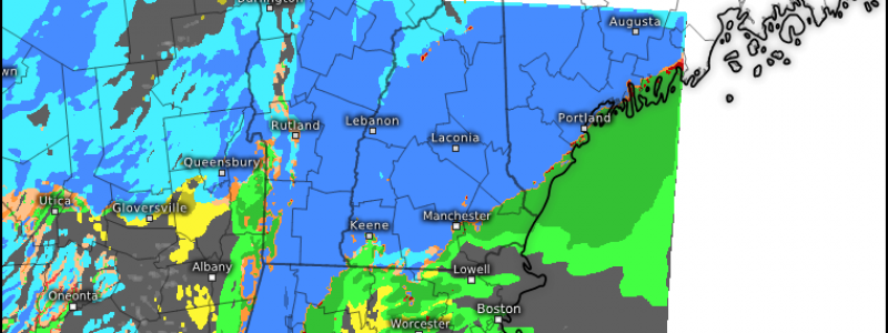
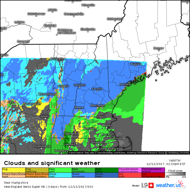
The Swiss Super HD model is a great tool to use in situations like this where mesoscale (local) influences like terrain have a big impact. Because the model is run at a 1x1km resolution, it can pick up terrain influences such as the Berkshires keeping parts of Western Massachusetts snow for longer. For areas that do stay all snow, especially farther north into the mountains of Maine and New Hampshire, over a foot of snow is possible from this system, with lighter amounts in southern New England and along the coastlines where a mid afternoon change to rain is expected.
I discussed this storm in a little bit more local detail for folks interested in specific parts of Maine and New Hampshire: https://forecasterjack.com/2017/12/12/snow-becomes-heavy-this-afternoon-as-it-changes-to-rain-near-the-coast/
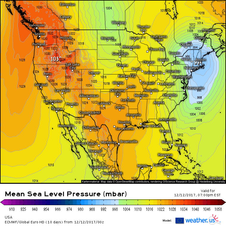
Elsewhere across the country today, sprawling high pressure will be in control from the Pacific Northwest into the Great Plains. Another clipper will enter North Dakota tonight with some light snow possible. No significant impacts are expected.
For more information about your local forecast: https://weather.us/
-Jack


