Pacific Moisture Moves East Into The Rockies Today
Hello everyone!
Our generally tranquil pattern will continue today for the majority of the nation. The Pacific storm that moved onshore in California yesterday will move east into the Rockies today, with rain and mountain snow expected to spread east.
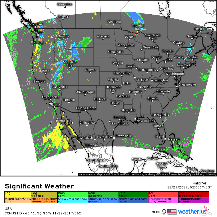
The national overview map shows the general pattern today. Aside from a few lake effect and upslope snow showers in the Northeast, quiet weather will dominate in the East. Despite the storm moving into the Rockies, there won’t be any majorly impactful weather across the West either.
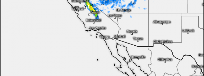
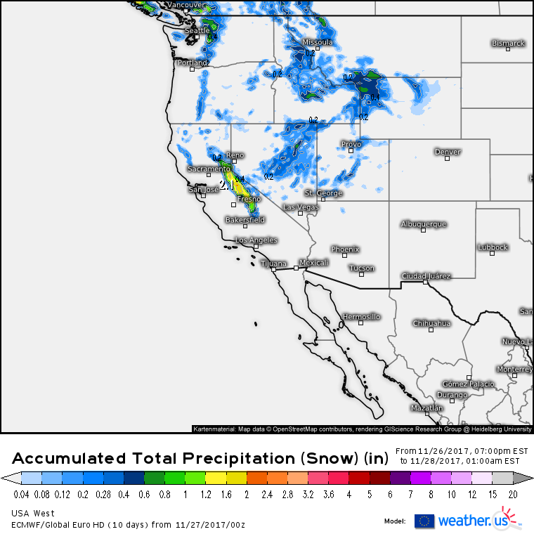
This map shows the liquid equivalent precipitation forecast for snowfall today. For more on liquid equivalent precipitation and using it to forecast snowfall, check out this video. The only area expecting significant snow through this evening is the Sierras where 1-2 feet of accumulation is possible. Elsewhere, liquid equivalent totals under a half inch are expected, meaning snowfall is likely to be limited to under 6 or so inches. Use caution if driving through some of the high passes today, but otherwise, this isn’t a major storm.
For more information about your local forecast: https://weather.us/
For more information about the local forecast for ME/NH: https://forecasterjack.com/2017/11/27/continuing-to-cool-today/
-Jack


