Light Rain And Mountain Snow Across The West, Quiet Elsewhere
Hello everyone!
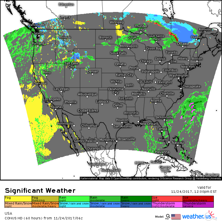
Today’s weather will feature a continuation of the pattern we’ve been sitting in for a little while now which is generally quiet. Storms that brought scattered severe weather to parts of Florida yesterday have moved off the state’s east coast, and the only other potential area of active weather will be found along a cold front extending from NW Minnesota back through the high plains and into the Northern Rockies.
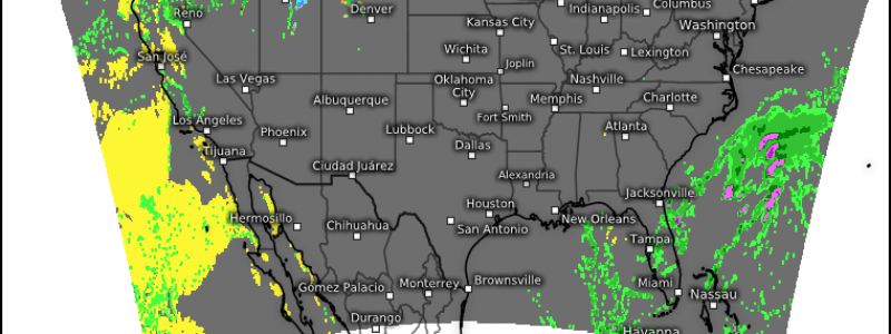
The national weather map for today shows this pattern well. Scattered showers and a few weak thunderstorms will continue across Florida, but no severe weather is expected. High pressure will retain control of the rest of the Eastern and Southern parts of the country. A cold front will bring scattered showers to parts of the Northern Plains, and as the tail end of that front interacts with Pacific moisture, heavier rain and mountain snow is expected across parts of Wyoming and Southern Idaho. A weakly organized stream of Pacific moisture will keep rain and mountain snow showers in the mix for the rest of the Northwest, but no major impacts are expected.
For more information about your local forecast: https://weather.us/
For more information about the local forecast for ME/NH: https://forecasterjack.com/2017/11/24/mild-and-mainly-dry-again-today/
-Jack


