Rain And Mountain Snow Return To The Pacific Northwest Today
Hello everyone!
Today will feature a return of stormy conditions to the Pacific Northwest as another storm system rumbles ashore. It will be fairly similar to recent systems in that impacts due to snow will be limited to the higher elevations.
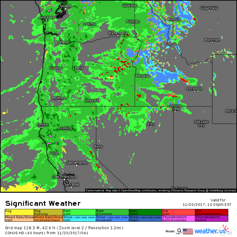
This forecast map for midday today shows lots of rain falling across the region. Notice that snowfall is limited to the highest summits of the Cascades, as well as the mountains of Idaho and Montana much farther east. In these areas, travel will be difficult, but otherwise, roadways will just be wet, so use caution, but expect a reasonably smooth commute.
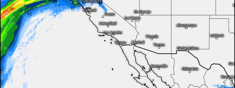
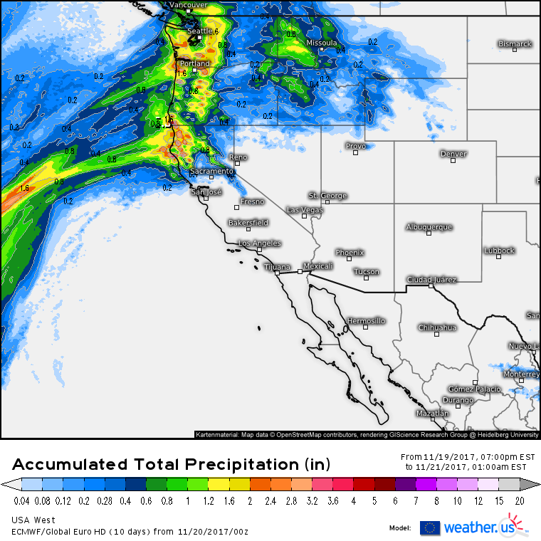
Rainfall totals for today won’t be all that remarkable. Even the mountainous terrain of Western WA, OR, and Northern CA will likely remain under 3″ of total precipitation today. As a result, flooding and mudslide concerns are fairly limited, though if a heavy band sets up over the wrong burn scar, issues certainly can’t be ruled out.
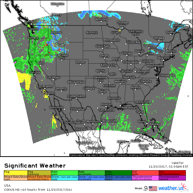
Elsewhere across the country today, very quiet weather is expected as cool high pressure is locked in control. The one exception will be parts of upstate New York, downwind of lakes Erie and Ontario where lake effect snow will continue in cool westerly flow today.
I will be offline through tomorrow afternoon, so won’t have an update 24 hours from now. However, tomorrow’s weather is expected to be just as calm as today’s for the vast majority of the country. The exception will be the Pacific Northwest, where rain and high mountain snow will continue to fall.
For more information about your local forecast: https://weather.us/
For more information about the local forecast for ME/NH: https://forecasterjack.com/2017/11/20/cold-and-breezy-today-warmer-tomorrow/
-Jack


