Dangerous Fire Weather Continues In California
Hello everyone!
With the threat of severe weather minimal today, Nate being long gone, and snow having all but wrapped up, the main topic of discussion will shift towards wildfires in California which are being fanned by strong winds.
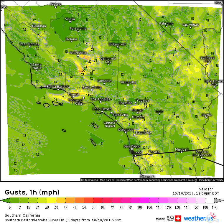
Swiss HD model forecasts for Southern California show more gusty winds expected today. These winds are perhaps only half the strength of yesterday’s winds, which gusted to near hurricane force at times. However, even 20-30 mph wind gusts can prove difficult for firefighters trying to contain some very large fires. 
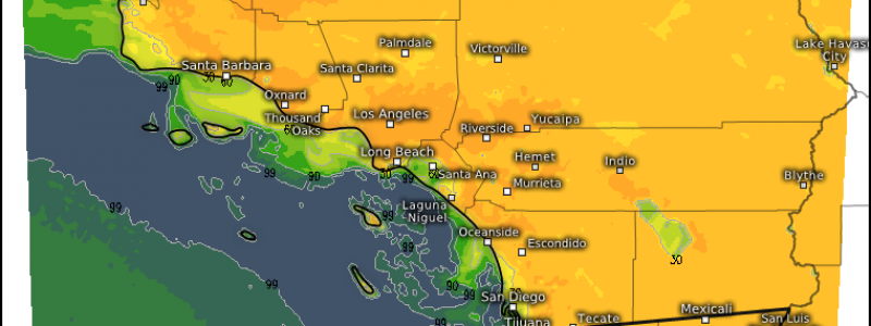
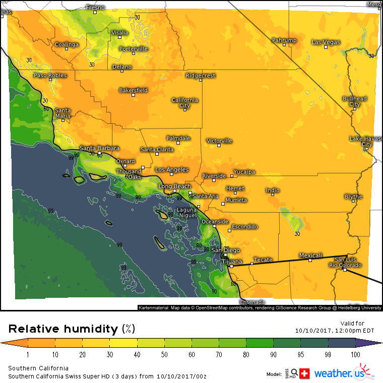
Dry air will also be a concern today. Fires spread more quickly when there’s extremely dry air. Relative Humidity values in the 10-20% range across most of Southern California are already proving conducive for rapid fire spread.
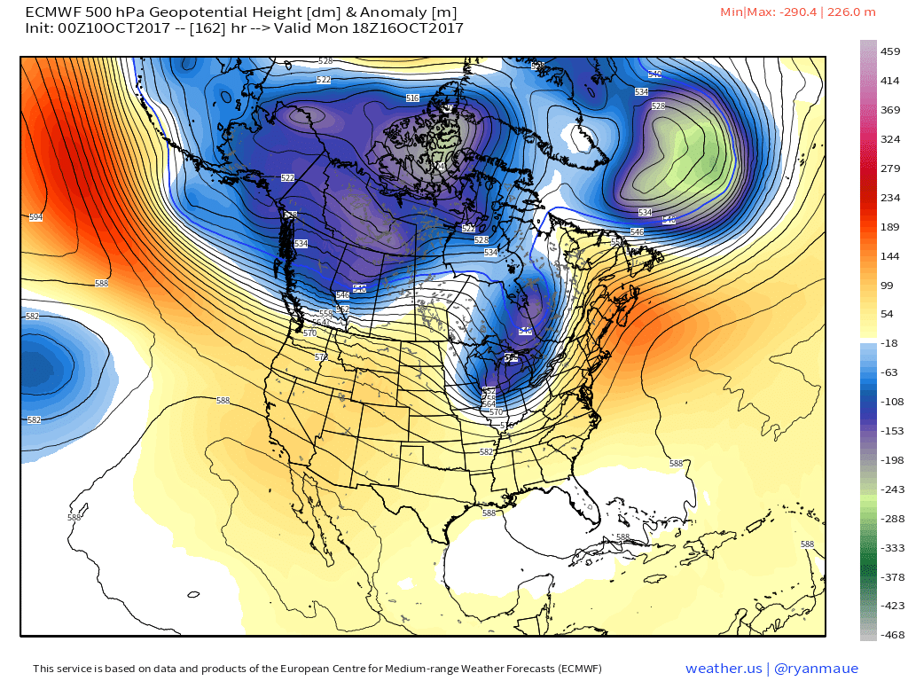
Unfortunately, long term prospects for rain are slim in California, especially southern parts of the state. A large subtropical ridge is forecast to hang tough over the region for at least the next week as a train of moisture laden Pacific storms rumbles ashore over the Pacific Northwest.
Showers and a few storms will continue today over parts of the Ohio Valley as the storm that brought snow to Denver moves east. Given the lack of any significant, widespread threats from that system, I won’t discuss it any further. Elsewhere across the country, quiet weather is expected as Nate has moved well east off the New England coast.
-Jack


