Maria Weakening As It Moves North, Impacts To The Outer Banks Still Expected
Hello everyone!
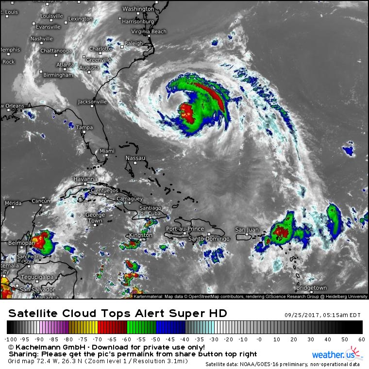
Today’s main weather story will once again be Hurricane Maria which continues to weaken while moving slowly towards the North Carolina coast.
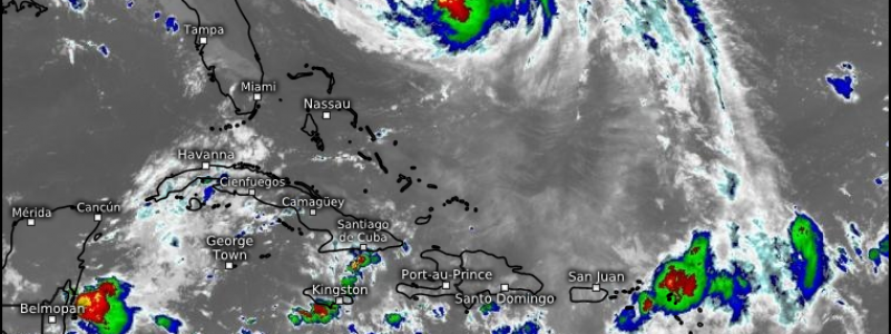
Satellite imagery shows Maria’s inner core being ripped apart by dry air and wind shear. A large cloudless area exists where you’d typically expect intense thunderstorm activity. Dry air forced into Maria’s inner core by strong winds aloft (wind shear) is the culprit, and its weakening influence won’t let up any time soon.
Confidence in Maria’s track forecast continues to improve. A weakening ridge of high pressure over New England will guide Maria close enough to the Outer Banks for impacts to occur, but the ridge has been weakened too much by Jose for the storm to actually make landfall. Maria is likely to stall just east of the Outer Banks as steering currents weaken, before an approaching upper level trough shoots the storm rapidly out to sea next weekend.
There have been no changes to the impact forecast from yesterday for the Outer Banks, so consult that post for more details on what to expect in that area from Maria. Or, if you’re looking for something more personalized, check out our Forecast XL product which lets you compare model forecasts for anywhere in the world. If you’re interested in learning more about the Forecast XL product and how it works, check out this video.
Elsewhere across the US today, heavy rains will continue over the Great Plains as a cold front slowly works its way east. No severe weather is expected with these storms but flash flooding could be a concern. Hot weather will continue across the East under a large ridge of high pressure while cold weather will continue in the West under a large trough of low pressure.
For more information on the forecast for your town, head on over to weather.us.
For more information on the local forecast for Maine and New Hampshire, check out my local blog post from this morning.
-Jack


