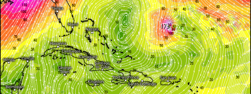
Hurricane Jose Doing A Loop In The Atlantic, Could Pose A Threat To The East Coast
Hello everyone!
As Irma unravels over the interior Southeast, another hurricane is on deck in the SW Atlantic. Jose is forecast to do a clockwise loop in the next few days before potentially posing a threat to the East Coast next week. I’ll break down the possibilities for the future of Jose and offer some insights into why the forecast is so uncertain.
Click on any link for more information about a particular topic. For each link, you can click the map to zoom in, you can click near the edge of the map to pan, and you can use the (-) button to zoom out. You can also explore other parameters/satellite views and time steps via the menus to the left of each image.
Jose has sacrificed the outer half of the storm to keep the inner core intact in the face of strong northerly wind shear provided by Irma’s circulation. While the overall organization of the system remains quite poor due to the wind shear, the extremely strong thunderstorm activity in what’s left of the eyewall indicates that we could see the system restrengthen quickly once the shear lets up.
So what is the forecast for Jose? Where’s it headed and is that shear forecast to let up?
The first question, where is Jose headed, is quite tough to answer. There’s high confidence that the storm will turn sharply to the right in the next day or so before moving southeast. The storm will then continue to make an anticyclonic (clockwise) loop towards the southwest. This is where the forecast gets a bit tricky. How far south Jose makes it during this loop will have a direct impact on how far west the storm can make it. If the storm makes it far enough west this weekend and into next week, it could bring impacts to the East Coast. So what are some of the factors that will be steering Jose either towards or away from land?
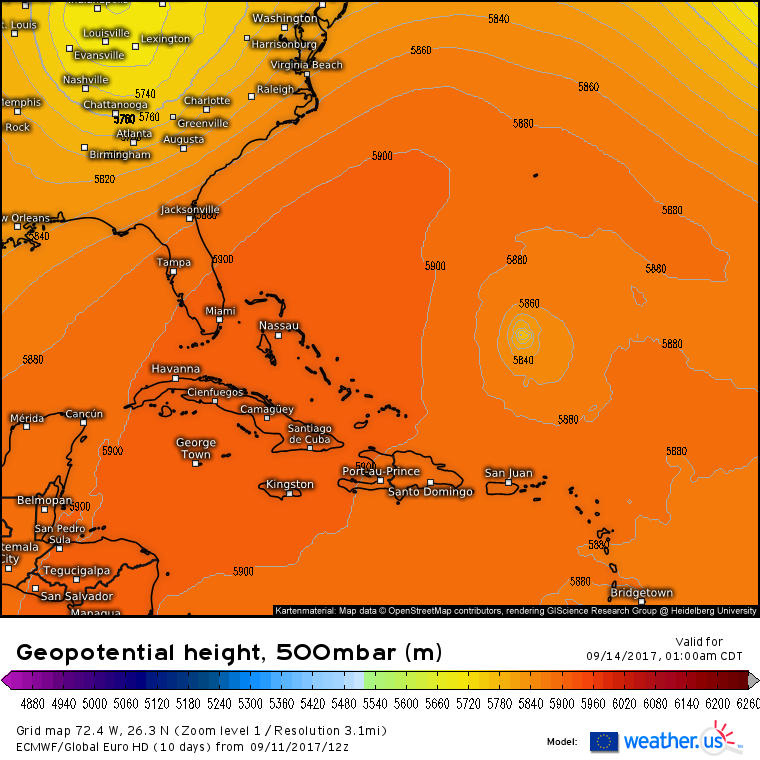
This map from the ECMWF model valid Wednesday night shows the key players well. A ridge to the west of the storm will be shifting over the storm and then to its north. You can see the two “fingers” of the ridge moving to meet one another in between the Lesser Antilles and Bermuda. These shifting ridges will force Jose west-northwest. Here’s where the uncertainty comes in. How far west does Jose make it before a trough developing over the Western US gradually turn it northeast?
They key to the storm’s track will be its intensity.
This map shows the winds forecast by the ECMWF model at different layers of the atmosphere. The leftmost panel is the highest layer (300mb) and the rightmost panel is the lowest layer (925mb). If you ignore the winds created by the storm itself and only look at the winds surrounding the system, you’ll get something close to the arrows I’ve drawn. These arrows are the winds competing for steering influence over Jose. Notice how the winds change direction with height. Winds in the lower levels of the atmosphere are trying to steer Jose NW (left two panels with red arrows). Winds in the upper levels, however, are trying to steer Jose SW (right two panels with blue arrows). The stronger the storm is, the more it will be able to “feel” those upper level steering currents and thus the farther south and west it will track.
So how strong is Jose forecast to get? Hurricane strength, as we discussed with Irma, depends on three main factors: ocean temperatures, wind shear, and mid level moisture. Let’s briefly look at the forecast for each for Jose.
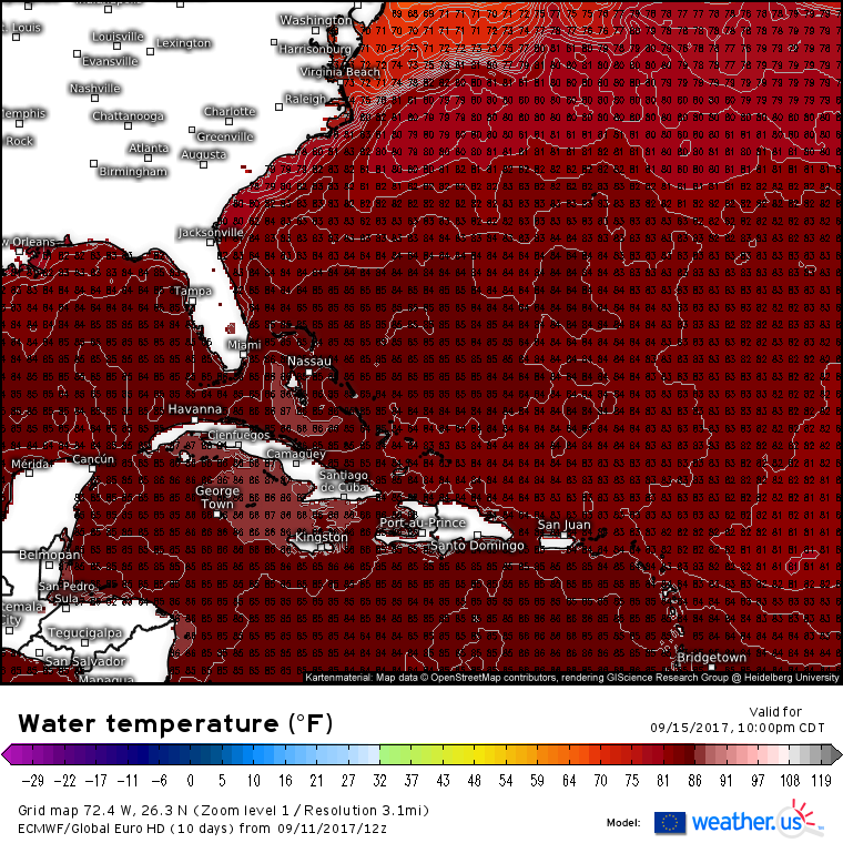
The ECMWF’s water temperature forecast shows that the waters over which Jose will be tracking (NE of the Bahamas) are extremely warm, and still untouched by Irma’s wake which you can see as the cooler stripe of water from the SE Bahamas through the NE Leewards and out into the open Atlantic. Water temperatures support a strong hurricane Jose.
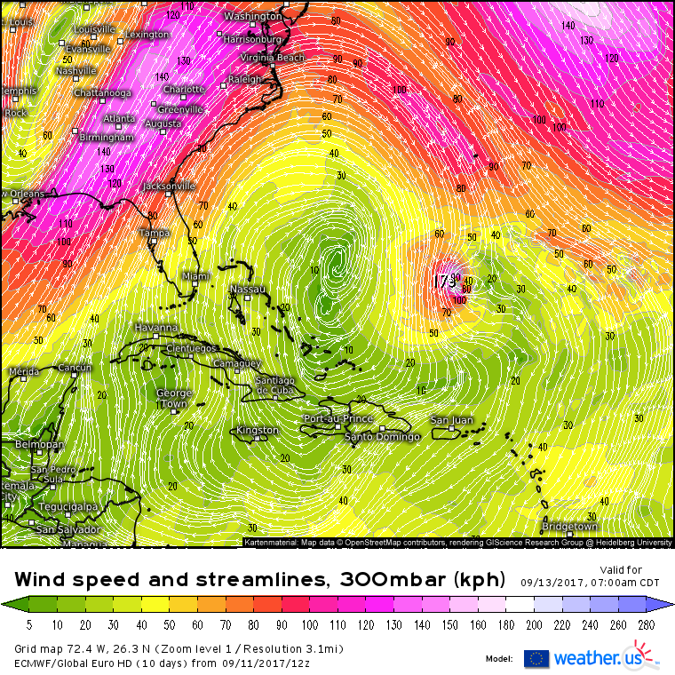
Strong northerly wind shear will continue to pummel the system through Wednesday, but shear will drop off as the storm is forced to the south by the rebuilding high. By the time we get to Friday, wind shear will be low enough to support intensification.
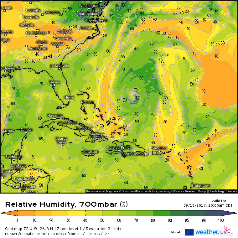
The trickiest call with regards to the intensity forecast will be mid level moisture. Notice on the ECMWF’s forecast 700mb RH that there are dual streams of dry air attempting to gain access to Jose’s inner core. If there’s one thing above all else that keeps Jose weak enough to recurve out to sea, it will be these areas of dry air. We’ll have to watch closely in the next few days if model guidance continues to support that dry air being in the area. Also monitor satellite trends to see if the dry areas are stronger or weaker than modeled.
What’s the end game for Jose?
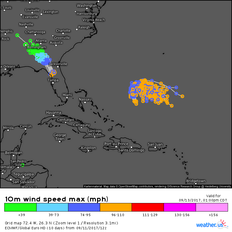
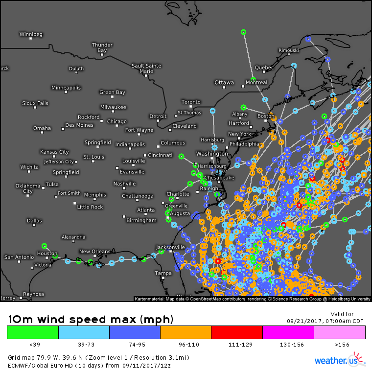
The answer, at least according to the ECMWF ensembles, is a resounding ¯\_(ツ)_/¯ as forecast solutions range from the Gulf of Mexico to North Carolina to New England to Newfoundland to Europe. It’s possible that the storm rides up the entire eastern seaboard resulting in another extremely impactful hurricane. It’s also possible that the storm zooms quickly out to sea with few, if any, problems caused. It’s too early to tell for sure where the system is going, but hopefully this post helped give you a few things to look for as we all try to figure out the answer in the coming days. If you’re interested in more information on ensembles, click here.
I’ll have another post on Jose tomorrow evening. Don’t want to wait until then for updates? Watch satellite imagery closely tomorrow. If the storm looks better than expected (click for the expected satellite imagery according to the ECMWF), place a little more confidence in a southwesterly solution. The opposite applies for a weaker storm.
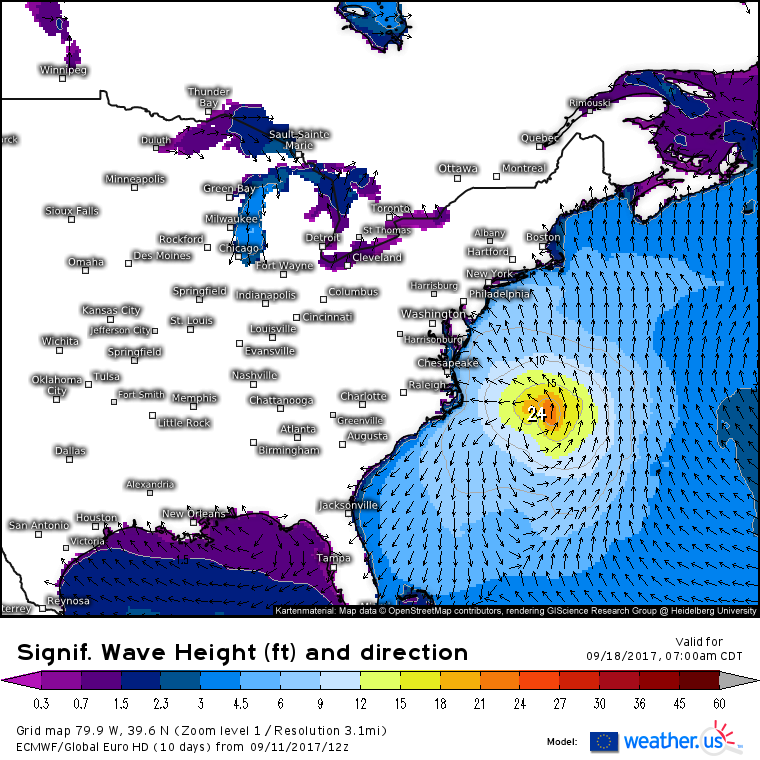
Regardless of the system’s exact track, large swells are forecast to impact the East Coast as we head into the weekend and early next week.
Tomorrow morning’s update will talk about tomorrow’s forecast across the US.
Jack Sillin is a weather nerd and forecaster who regularly writes for weather.us and 33andrain.com.

