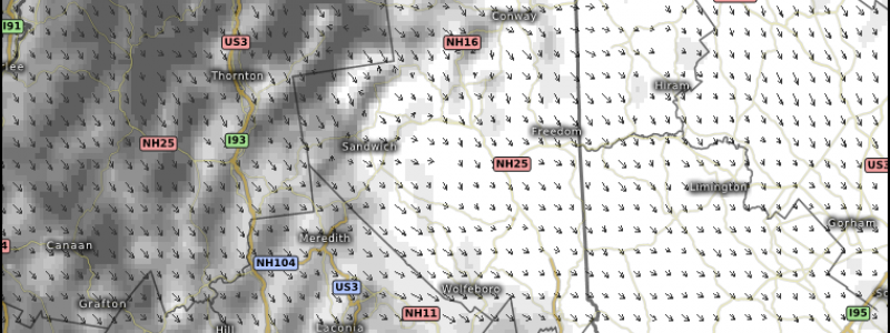
Harvey Becomes A Remnant Low As Cold Front Brings Snow To New England Mountains
08/31/2017 /
No Comments
Hello everyone!
We’re watching several features across the US this morning that will impact the weather across the US today. In this morning’s post, I’ll talk about the features impacting today’s weather. I’ll have more details on the more extended outlook this afternoon. Here’s what you need to know for today:
- HARVEY is now downgraded to a remnant low. It will move NE today, bringing heavy rainfall to parts of the lower Mississippi valley today. Track the rains on radar here. You can use the menus to move to different areas and different radar sites.
- A COLD FRONT is sweeping south through New England today. While severe storms are not expected ahead of the front, very cold air will move in behind it. That cold air will be cold enough to result in snow showers developing in the White Mountains of New Hampshire tonight. See the exclusive Swiss HD model’s forecast for the snow showers here. Use the menus to the left of the image to adjust the zoom, time, and parameter.
- HEAT will begin to build along the West Coast today, primarily in California. Temperatures in the Central Valley will soar over 100 degrees today. Check out the Swiss HD model’s forecast for the CA heat here. As always, use the menus to the left of the image to select different parameters, locations, and times.
Elsewhere across the country, generally quiet weather is expected. For more details on your local forecast, head on over to weather.us!
For more information on the local forecast for Maine and New Hampshire, check out my local blog post from this morning.
I’ll have more updates on the future of Harvey’s remnants, the building heat in CA, and TS Irma this afternoon!
-Jack


