Harvey’s Rains Slowly Wind Down Today As It Moves NE
Hello everyone!
Harvey has made its third and final landfall early this morning near the TX/LA border. It will continue to weaken as it picks up speed, accelerating off to the northeast in the coming days. While heavy rains will continue to fall across parts of Louisiana today and tomorrow, the threat for a widespread flooding disaster to worsen is winding down. Therefore, weather.us’s coverage of Harvey will be winding down as well. I’ll be shifting to a slightly different format here. I’ll quickly go over each of the weather features expected to impact the US today, and will provide links to where you can find more information over at weather.us. If I don’t mention your region, you’re probably in the clear weatherwise! You can still find more information about your forecast such as what the high temperature will be, over at weather.us.
Harvey will continue to be the main feature of note across the US this morning. It’s bringing torrential rains to the Beaumont/Port Arthur region of Texas and nearby parts of Louisiana this morning. These rains will shift northeast tonight and tomorrow as the storm begins to speed up its movement to the northeast. As it speeds away from the Gulf of Mexico, Harvey will lose its moisture and heat source, and will decay into a remnant low over the next few days. Thankfully, while flooding issues will continue to develop over the Beaumont/Port Arthur area, the hardest hit parts of Houston should see some sunshine today along with dry weather. These favorable conditions will extend SW to the Corpus Christi area where recovery efforts continue near where Harvey initially made landfall as a Category 4 storm with 130 mph winds.
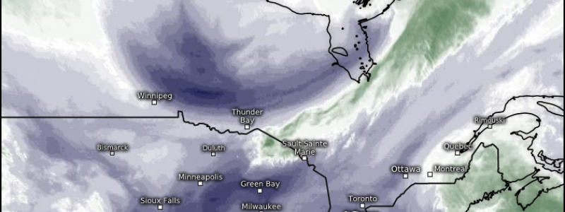
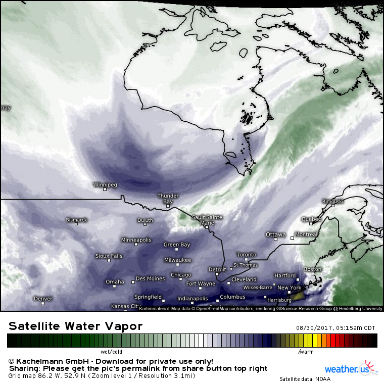
The second feature of note today will be a cold front driving SE through Canada and into the Great Lakes region. This front will be starved for moisture, however it will bring a blast of very cold (for this time of year) and very dry air. Along the leading edge of that cold air, some showers and thunderstorms will develop, however given the dry airmass already in place ahead of this front, no severe weather is expected. The front will move through New England tomorrow.
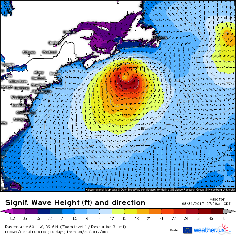
PTC 10 is no more, but the nor’easter it merged with will continue to strengthen today. The only impact we’ll feel on the US, outside of some showers this morning on Cape Cod, will be large waves which the ECMWF forecasts continuing to impact the East Coast with high surf and dangerous rip currents through tomorrow.
Other than that, generally quiet weather is expected across the US today. For more information on your local forecast, check out weather.us!
For more information on the forecast for the Western Maine/New Hampshire area, check out my local forecasts for those areas here.
-Jack


