Harvey Continues To Meander In SE TX Causing Major Flooding
Hello everyone!
Harvey continues to drift through SE TX as forecast this afternoon. Winds have subsided in the system but the rainfall has done just the opposite. Intense feeder bands are parked to the east of the system and they are only getting stronger as Harvey pulls in massive amounts of moisture from the Gulf of Mexico. Harvey is expected to drift around inland SE Texas tonight and tomorrow before slowly wandering back towards the coast early this coming week. Harvey’s slow motion will result in a tremendous flooding threat across all of SE Texas with feet of rain expected in some areas. The storm is expected to slowly dissipate in about a week’s time, but until then, the rainfall will be torrential across SE TX.
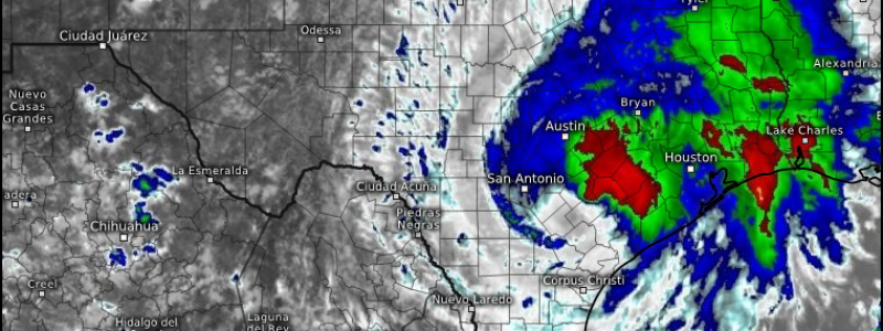
GOES-16 satellite imagery shows thunderstorms all around the storm weakening as it moves onshore and loses its source of energy- warm water in the Gulf of Mexico. However, while the wind threat decreases, the rainfall threat increases. The rainfall threat is something I’ve covered for many days. Given that heavy rains are already in progress, I’m not going to show “storm total” accumulation maps from the ECMWF given that those maps will show rain that has already fallen. Just know the bottom line that we’ve been discussing for days: this is a very serious flooding threat for SE Texas, especially the area between Corpus Christi and Houston. Rainfall totals will be measured in feet and catastrophic, devastating floods are expected.
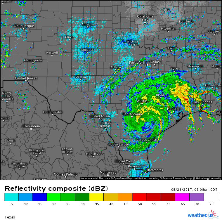
A radar composite showing torrential rains spreading out hundreds of miles from Harvey’s center.
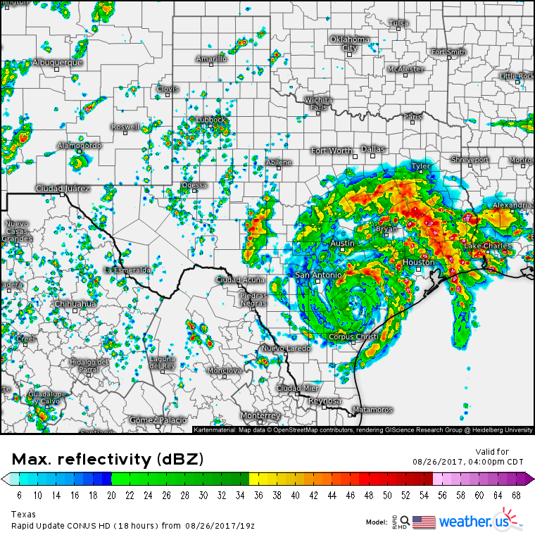
You can track the floods on weather.us using our HD radar products which will show you exactly who’s getting the heaviest rain at the moment. You can also track the system using GOES-16 satellite loops, and current observations such as observed precipitation and wind speed. Curious about what the radar might look like a few hours from now? Our high resolution models update frequently with simulated radar products so you can see what to expect in the coming hours.
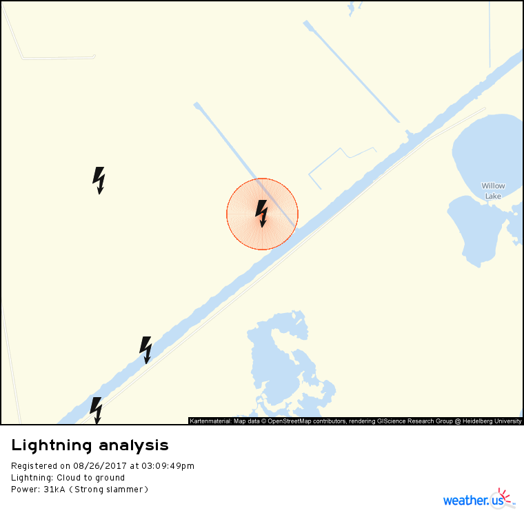
Hear thunder? Check where lightning struck using our lightning analysis tool. Simply zoom into county level then click one of the strike icons (either a plus sign or a minus sign) to view additional information such as how strong the strike was, where it struck down to street level, and exactly what time it hit, down to the second.
For each of these links, as with any data at weather.us, the menus to the left of the image hold a wealth of additional options for you to explore data. For all data, you can adjust the zoom and area of the map using the menus. For GOES-16 data, you can use the menus to select additional satellite views such as IR or WV during the nighttime hours and Visible during the daytime hours. For radar data, most of what you’re going to be interested in is located at the top of the image in the form of small blue buttons. Use these buttons to turn on velocity data, to view a region-wide composite or upgrade to higher resolution at a specific site, to display storm tracks, or to view other data such as satellite imagery or lightning analysis. For model data. the menus are where you can select different parameters, models, and forecast times. You can also toggle between models using the small blue buttons at the top of the model map displays.
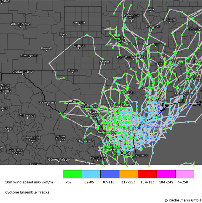
Harvey’s exact track from here on out remains uncertain, but more or less meaningless. The big impacts are not going to be focused near the center of the storm. The torrential rains will continue across SE TX no matter where exactly the storm tracks. There’s still the potential for the storm to drift back over the Gulf of Mexico and make a second landfall at some point next week but guidance is trending away from that outcome, which is a very good thing given the extreme destruction already wreaked by the storm’s first landfall. I’ll continue to monitor the situation in case that changes.
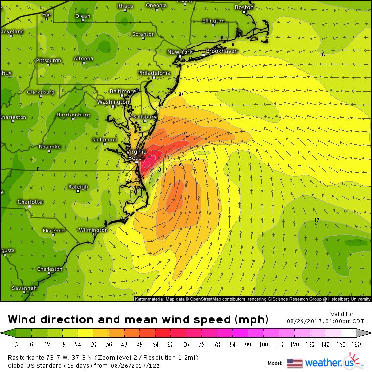
Farther east, I did just want to mention the potential for additional tropical development in the vicinity of Florida this week. A very disorganized low pressure system could organize a bit as it moves northeast towards the Outer Banks this week. By the time it gets to North Carolina, it’s likely to make a turn east away from land. It remains to be seen how much the storm will be able to strengthen and organize before it moves offshore, but it’s worth keeping an eye on if you’re planning to be in that area this week.
Have a great evening and I’ll be back with more information on Harvey and the Florida disturbance (named 92L) tomorrow!
-Jack

