Northwest Flow to Bring Active Weather to the Northeast and Upper Midwest
Hello everyone!
Instead of focusing on individual severe weather threats, today’s blog is going to talk about the larger scale pattern that’s driving all the active weather across the Northeast and Upper Midwest. If you’re interested about specific severe weather events today, tomorrow, or beyond, check out the wealth of forecast data over at weather.us. We’ve had quite the active stretch of weather in the Northeast and Upper Midwest over the past couple of weeks. A quick check of our radar archive shows that we’ve had tornadic supercells in Maine, severe hail in Massachusetts, and a whole host of thunderstorm complexes that have brought torrential rains and gusty winds to the Upper Midwest. So what’s behind all the storms?
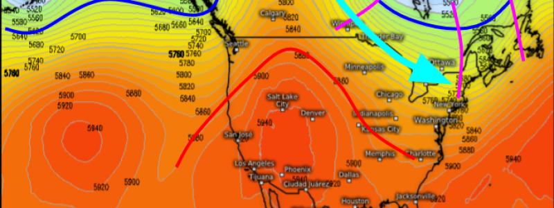
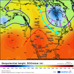
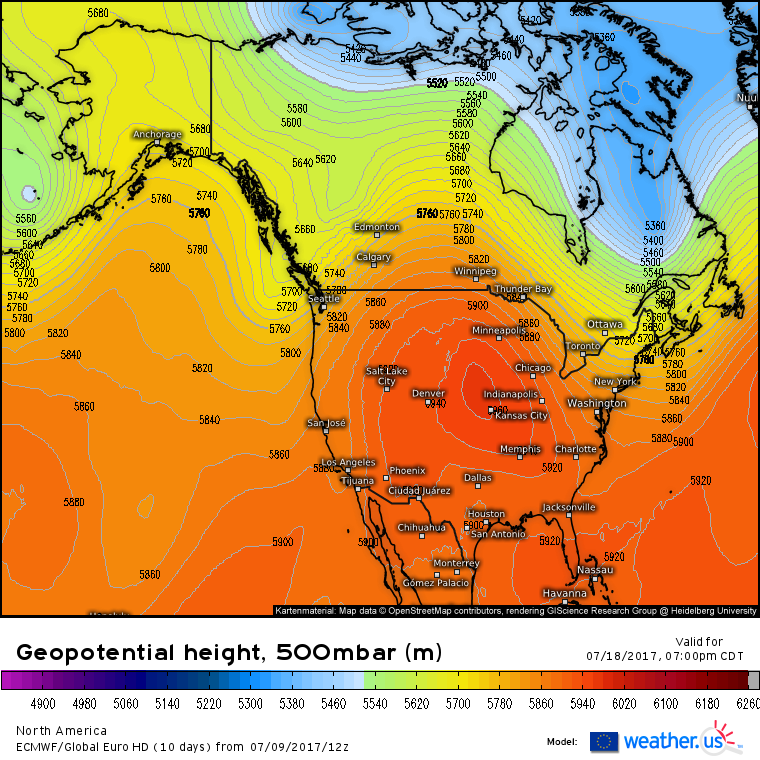
The short answer has to do with a pattern known as northwest flow. This pattern happens when the winds (flow) aloft are out of the northwest across the Northeast and Upper Midwest. In NW flow patterns like this one, a ridge of high pressure is centered over the Southwestern US (red line). These types of ridges are known as “heat domes” and temperatures underneath them routinely reach 110F. In addition to the ridge of high pressure over the southwest, you also need a center of low pressure somewhere near Hudson Bay, Canada (blue line on the right side of the picture). Because air circulates clockwise around high pressure and counterclockwise around low pressure, in this setup, winds blow out of the northwest across the Upper Midwest and into the Northeast (light blue arrow). In the midst of that NW flow, little disturbances in the flow (purple lines) zoom south and east around the base of the upper level low. It’s these disturbances that can provide the trigger for thunderstorm development. While these disturbances are certainly important, northwest flow patterns are helpful for thunderstorm development in other ways as well.

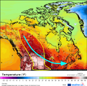
NW flow helps to move hot, dry airmasses off the high plains and into the atmosphere over the Northeast.
One of the most important things a NW flow pattern delivers for severe storms is what’s known as an Elevated Mixed Layer (EML). An EML is a layer of dry air in the mid levels that rapidly cools with height. The steep lapse rates associated with this layer help fuel thunderstorm development and intensification (for more on why having air cool rapidly with height is helpful for severe thunderstorms, read my article on CAPE and instability).
The dry nature of the EML’s is also important. A layer of dry air in the mid levels of the atmosphere helps to bolster the threat for damaging winds. For more on how dry air in the low/mid levels results in damaging winds, check out my post on how thunderstorms produce damaging winds.
Between the disturbances aloft and the EML’s, NW flow patterns are quite supportive of severe weather! We’re locked in such a pattern right now and there’s no sign that it will let up in the next couple of weeks. Be sure to stay ahead of any storms by watching the radar over at weather.us!
-Jack Sillin


