What Is A Front?
You’ll often hear from meteorologists and weather folks of all sorts that a front of some type is in the forecast. But what is a front and why do different fronts produce different weather? Simply put, a front is the boundary between two air masses. These boundaries can have significant impacts on our weather and are often the primary weather makers for the majority of the US. There are four main types of fronts: warm, cold, occluded, and stationary.
Warm fronts occur along the leading edge of warm airmasses. Along warm fronts, warm air displaces cold air and following the passage of a warm front, the temperature rises. Warm air is less dense than cold air and thus lots of warm air has to rise up and over the cold airmass before the cold gives way. Because of this as well as the shallow slope of the frontal surface, the lifting along and ahead of the warm front is usually gradual and thus results in a large area of light to moderate rain. Remember that the atmosphere is three dimensional and that fronts aren’t just a surface phenomenon. Fronts extend well up into the atmosphere and form “surfaces” that air parcels are forced to interact with. The slope of these surfaces are important in determining what impacts a front may have.
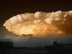
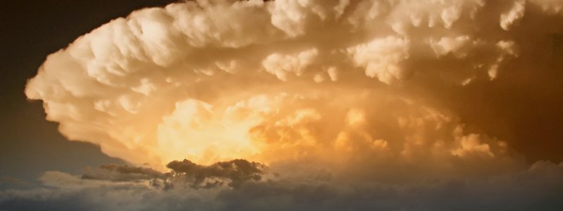
Violently rising air ahead of cold fronts often leads to powerful thunderstorms, especially in the summertime.
Cold fronts occur along the leading edge of cold air masses. A cold front often has a much steeper slope compared to a warm front and as a result, warm air parcels are forced to rise much faster up a cold frontal surface compared to that of a warm front. This more powerful and localized lifting often occurs in the same areas as the warm, moist air associated with the warm sector of the storm. As a result, thunderstorms as often associated with cold fronts. If the front is strong enough and the air ahead of it muggy enough, those thunderstorms may even be severe.
Warm fronts and cold fronts are named because in each case, one airmass is pushing the other out of the way. But what happens if the front loses its momentum and stalls out? This is called a stationary front and it happens when warm and cold air masses form a boundary that doesn’t move. Because these fronts are often stuck in an area of atmospheric doldrums, they rarely produce severe weather though in the summertime they can be the focus for afternoon thunderstorms.
Here’s a video tutorial on warm fronts and cold fronts that explains in slightly more detail how they work and why they affect our weather in different ways.
The final type of front is the most interesting and complicated. It is formed as a storm reaches its peak intensity and typically only forms in strong storms. The occluded front occurs when the cold front overtakes the warm front. Warm fronts only move at 2/3 the speed of cold fronts and thus the cold front will always eventually overtake the warm front, if the storm doesn’t dissipate first. Occlusions bring weather that is part warm front, part cold front. Ahead of the front, precipitation forms as a steady, moderate shield in similar fashion to the warm front. Right along the front, however, strong thunderstorms are often observed just like along a cold front. Occluded fronts typically only impact the northern third of the US and are responsible for some of the notoriously wicked weather observed in New England and the Great Lakes during the colder months.
Now that you know what fronts are and how they impact our weather, check out your local forecast to see if you’ll get to experience any in the coming days!
Feel free to send me an email if you have any questions about the weather you’d like me to explain! jack@weather.us
-Jack Sillin

