Your Holiday Weekend Fourth-Cast
The Fourth of July holiday is a typical celebration of summer. Everyone cooks out, swims, and generally enjoys life in the outdoors.
The weather, however, often disrupts even the best-laid plans. Will weather be a factor you’ll need to consider this holiday weekend? Let’s look at the fourth-cast!
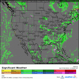
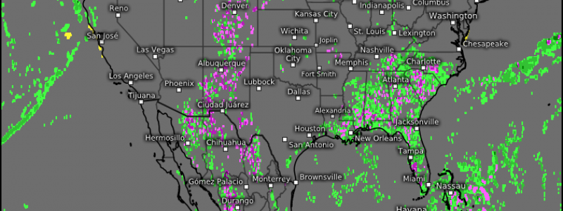
If we take a look at the “significant weather” animation spanning the holiday weekend, we can identify a few problem spots right off the bat.
- Potential severe weather in the Northeast on Saturday.
- Potential severe weather in the Northern Plains and into the Pacific NW on Saturday/Sunday/Monday.
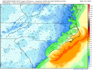
- Rain and wind from newly formed Tropical Storm Colin along the Carolina coasts.
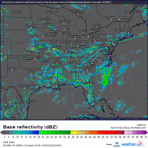
- Daily air mass thunderstorms across much of the southern US.
Severe Weather
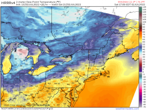
Storms may fire along/ahead of a front sweeping through the Northeast/Mid-Atlantic today.
They will remain confined to areas where richer moisture is located. As you can see via the graphic, that includes Southern New England into Northern Virginia.
Damaging winds are the main threat, but some hail is possible as well.
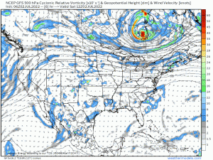
Shortwave impulses traversing the Northern Plains along with a trough coming ashore in the Pacific Northwest will drive any threat of severe weather in this region.
The Northern Plains retains a risk of severe weather for all three days of this long weekend as those impulses pass. Damaging winds and hail remain the main threats, though a tornado can’t be ruled out, specifically on Sunday.
In the interior Pacific Northwest into the Upper Rockies Saturday/Sunday, moderate moisture and daytime heating may allow for isolated severe storms to form. Damaging winds and perhaps some hail will be the main threats these storms offer if they are able to form.
Tropical Storm Colin
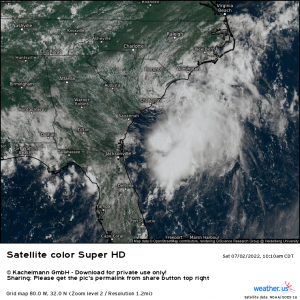
This sneaky little storm took advantage of the warm waters of the Gulf Stream and was able to close off a circulation and sustain enough convection to be officially classified as a TC. It is highly sheared, however, with most of its convection currently blown east, leaving the coastal Carolinas with showery, blustery weather.
Locally heavy rainfall is possible as these bands blow through. In addition, gusty winds remain a possibility.
Colin will slowly slide off to the northeast, brushing along the coast before moving out to sea later this weekend.
Air Mass Thunderstorms
As with any hot, humid summer day, daily pop-up thunderstorms will be a possibility throughout the holiday weekend over most of the Southern US.
Coverage will vary by the day and placement will remain random, as is the way of pop-up storms.
The most dangerous part of these storms is often the lightning they produce, though strong winds can sometimes occur as the storm collapses. At any rate, if you plan to be outdoors this weekend, listen for thunder. If you can hear thunder, you can be struck by lightning – even if it is not raining! Seek shelter indoors immediately until the storm passes.
Fire Weather
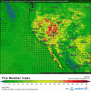
In addition to the sensible impacts storms bring, parts of the West will experience elevated to critical fire weather conditions throughout the holiday weekend.
Gusty winds, dry atmospheric conditions, and continuing dry surface conditions will lead to the rapid spread of any existing or emerging fires. Use extreme caution in your celebrations this weekend.
In fact….
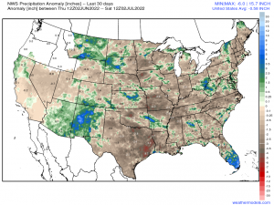
…Much of the US has been drier than normal over the past month. A few flash droughts have sprung up recently in the Eastern US, along with the continuance of the on-going megadrought in the Western US.
I’d suggest caution in using fireworks this weekend. If you must have personal fireworks displays, do it safely and be ready to put out anything that may catch on fire as a result. Otherwise, leave the displays to the professionals.
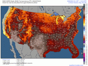
Here’s a quick look at your forecasted high temperatures for the holiday weekend:
Have a safe and happy 4th of July weekend!
