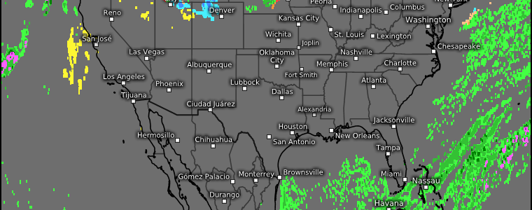
Your Christmas Weekend Forecast
Well, we all know the weather isn’t the best right now. From bitterly cold temperatures, to coastal flooding, to whipping winds, to blizzard conditions… It’s all a bit of a mess.
You may be wondering: Does it improve at all as we begin the Christmas holiday weekend? Let’s take a look!
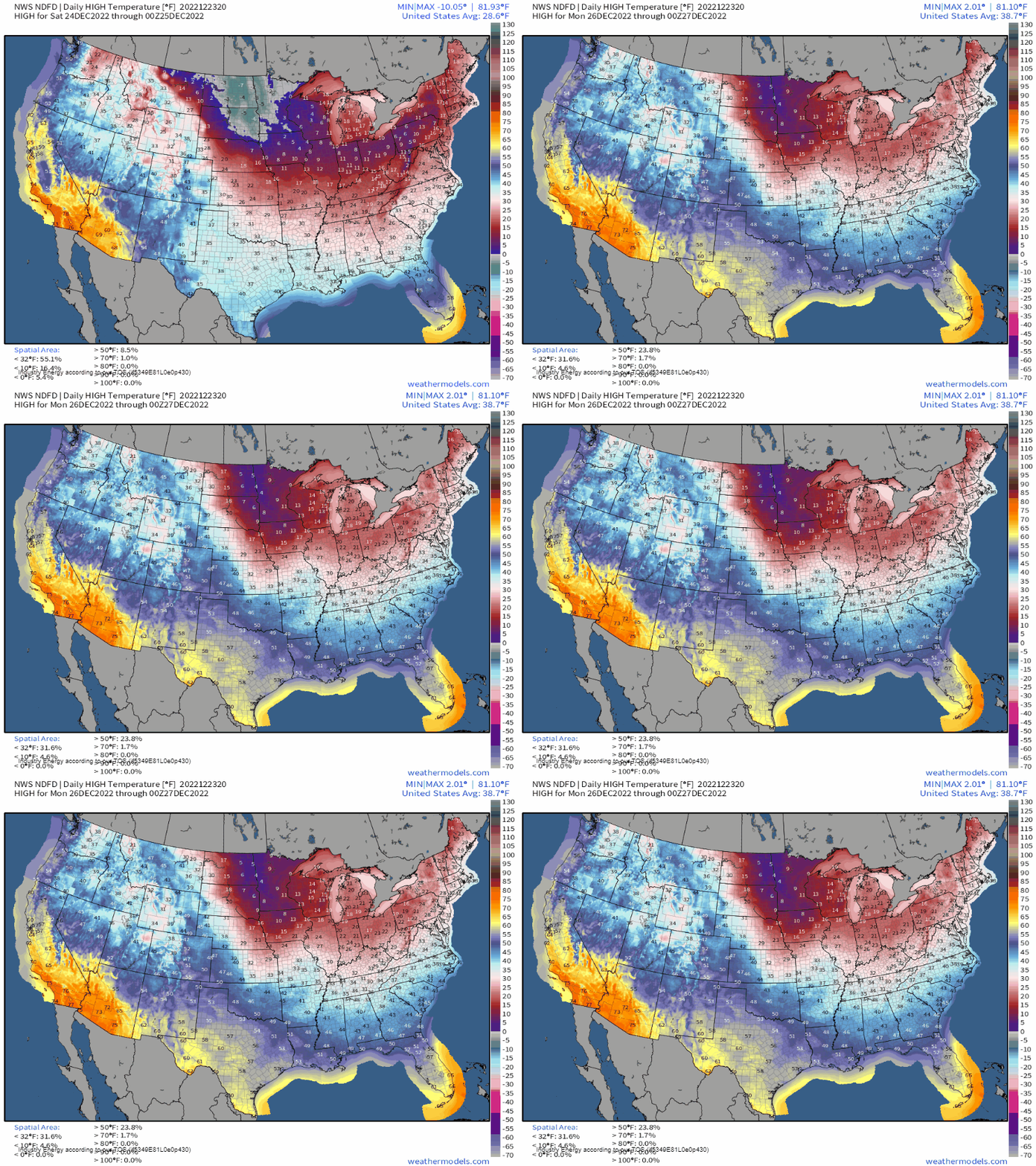
For regions west of the Rockies, temperatures will be comparably warm and decently above average into next week.
For those east of the Rockies, after a bitterly cold night tonight with at least a handful of record lows possible, temperatures will ever-so-slowly begin to rebound.
Don’t get me wrong, it will still be chilly and, for the most part, well below average. But a (very) slow warming trend will begin.
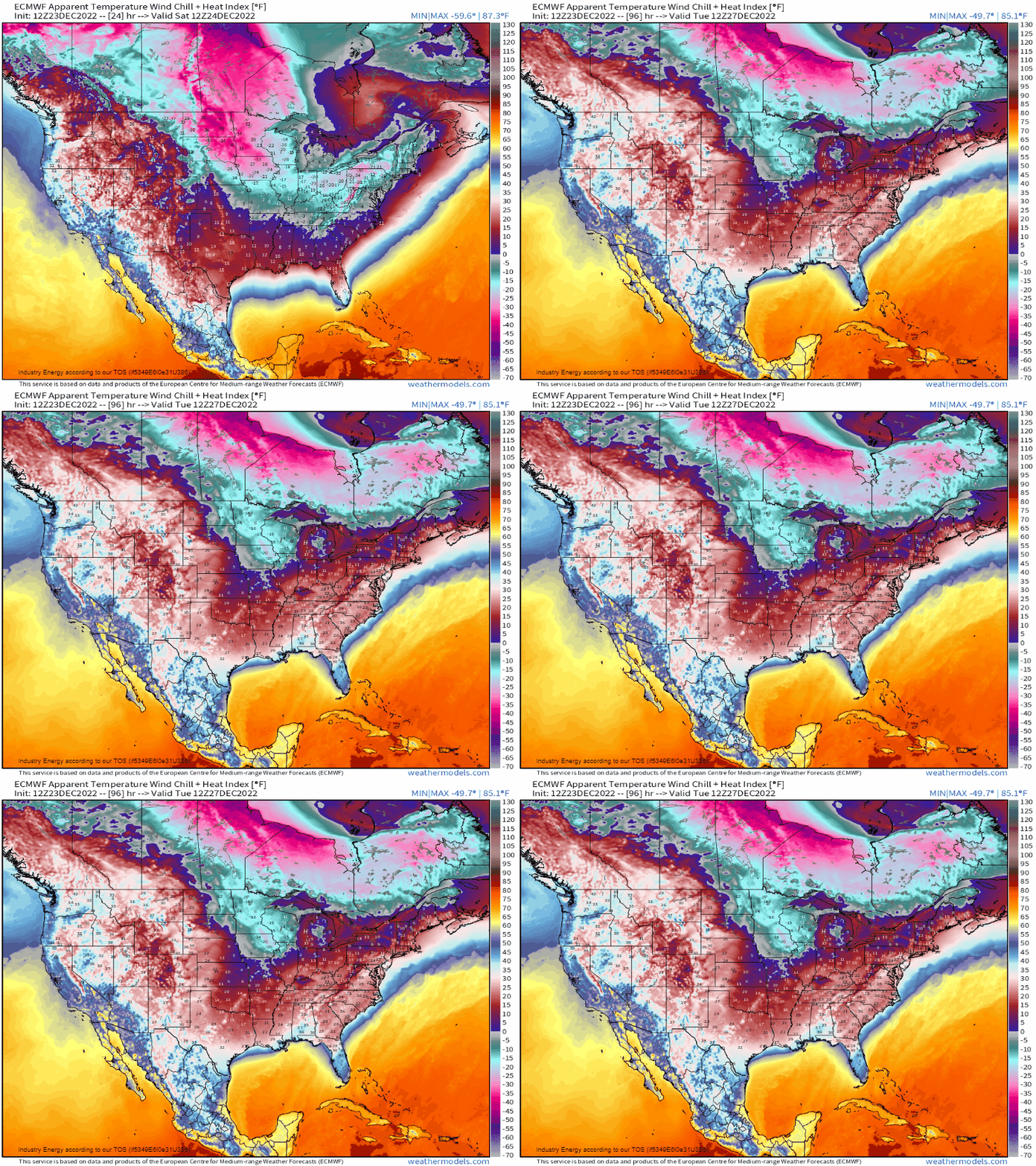
Speaking of chilly, wind chills will remain in “dangerous” territory for some – especially the Midwest and Great Lakes regions – through the weekend. If you’re heading out to visit family and friends this weekend, make sure you bundle up and protect your skin from the elements.

As far as precipitation goes, once our bomb cyclone lifts away northeast later tonight, we have a couple areas of concern.
First is the Great Lakes.

Persistent southwesterly/westerly flow as our cyclone departs will keep the lake effect snow machine cranking through the weekend.
As snow flies through the weekend, heavy totals exceeding three feet are possible, especially downwind of Lakes Erie and Ontario.
Next, we look to a shortwave sweeping out of Canada and across the Northern Plains and into the Midwest.
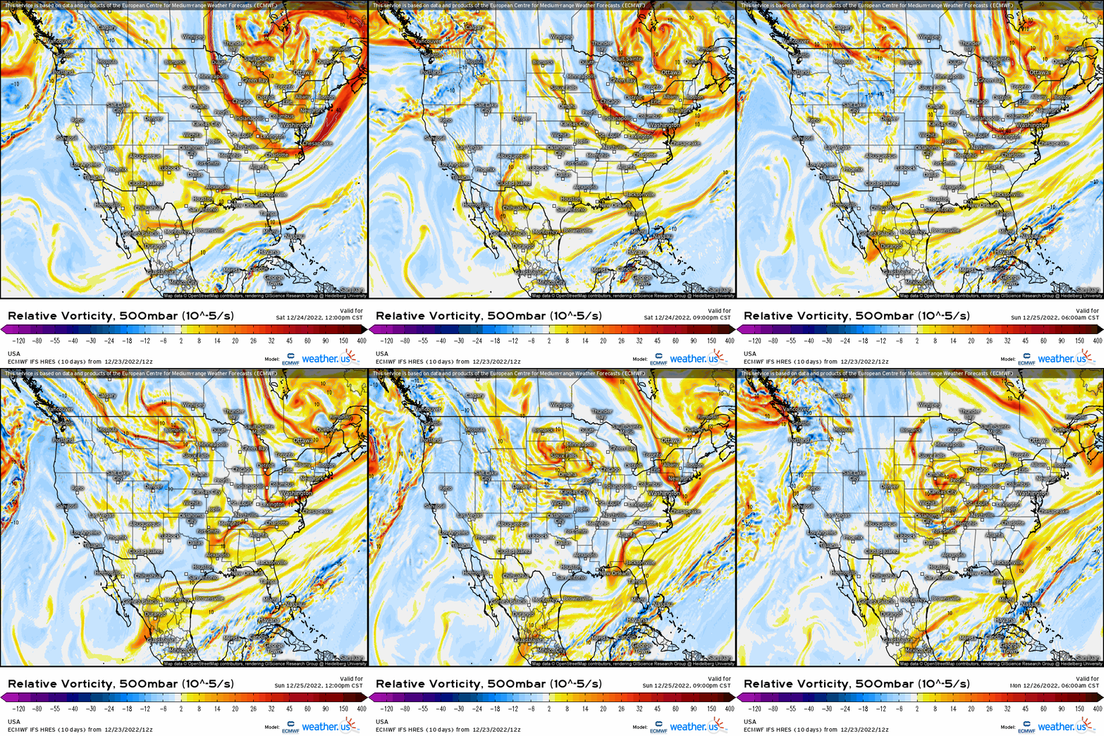
Beginning Sunday morning, snow and lighter accumulations (generally one to three inches) are on tap for the Northern Plains and Upper Midwest while light rain/a mix of rain and snow is likely for some of the Central Plains region.
Lastly, we look to the Pacific Northwest.

Persistent onshore flow river will bring waves of rain to the region, with some freezing rain being possible as well. Higher elevations will receive additional, potentially heavy snowfall.
Beyond Christmas weekend, a change is brewing in the medium term.
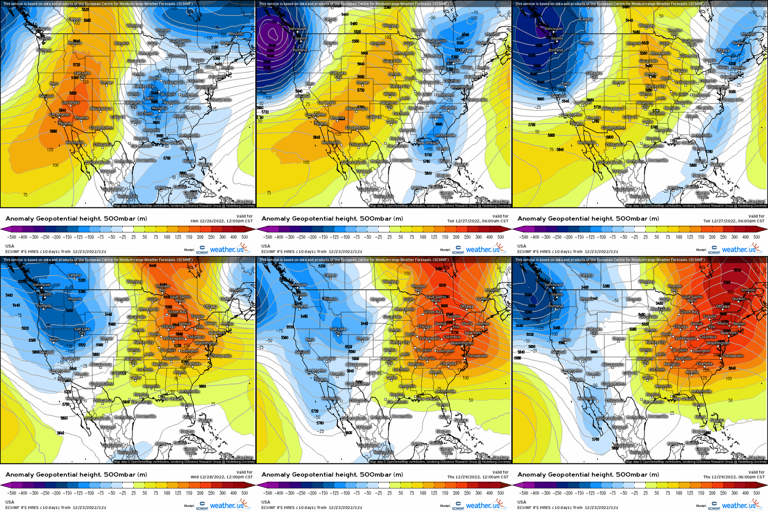
Ridging will once again become dominant in the East while persistent troughing returns to the West. Under this pattern, the West Coast is likely looking at a wet and chilly New Years while the East may end the year much warmer than average.
Armando and I will be off from Dec 24th to January 1st to spend time with our families for the holidays.
However, check back here near the end of next week for 3 special blogs. Armando will have your New Years forecast out on Dec 30th. Additionally, our annual Most Impactful Weather of the Year blog will be a two-parter this time and will be released on Dec 29th and Dec 30th.
From our families to yours, wishing you all a wonderful holiday season filled with love and joy! See you in 2023!


