Wildfire Risk Looms for a Large Part of the Central US
After 4 days full of severe weather and flooding, we breathe a sigh of relief today as the serious sensible weather takes a day off. High pressure will dominate the eastern third of the US today, bringing sunny skies and a warm day.
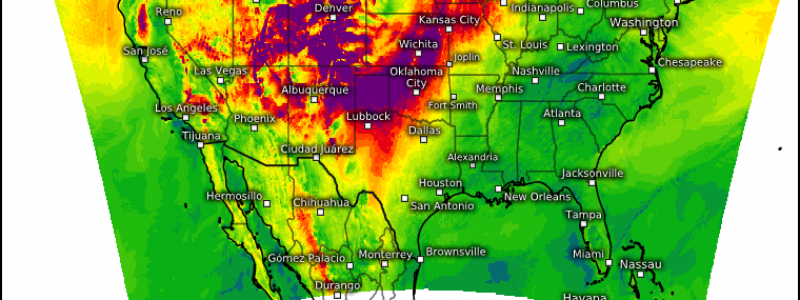
However, not all is sunshine and roses in the central part of the country. While we aren’t tracking any real, imminent, sensible threat, we are on alert for a more latent threat: fire weather.
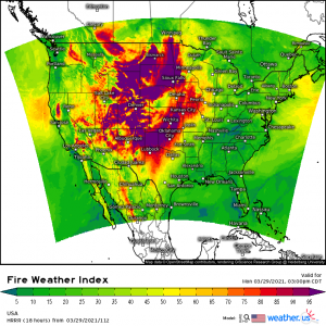
A large portion of the interior US will experience conditions conducive to a critical wildfire risk as the day wears on.
A mid level trough in the west will move east throughout the day and is expected to amplify while doing so. At the same time, a surface low in southern Canada will also move east, dragging an trailing cold front through the northern Plains. Resulting enhanced mid-level flow and tightening surface pressure gradient will lead to very windy conditions. These downsloping westerly winds will lead to significant warming and drying, with relative humidities plunging to 10 to 20 % during peak daytime heating.
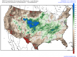
These conditions will be compounded by dry vegetation…
..Especially in the Northern Plains where rainfall has been roughly 10 to 20 % of normal over the last 30 days. Temperatures in the northern plains will be falling behind the trailing cold front which cuts down a bit on the warmth, however, the low RH values and dryness of fuels across the region will allow the fire threat to persist regardless of the falling temperatures.
Although today will be a warm, windy, dry day, be sure to utilize your outdoor time responsibly and refrain from any activities that may spark a fire. It won’t take much, especially in the dry vegetation of the northern plains, to get a large fire going.
Enjoy your day and soak up the warmth! One(hopefully) final blast of cold air is on the way for the latter half of the week.


