Widespread Impacts Expected From Elsa Prior to Landfall
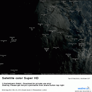
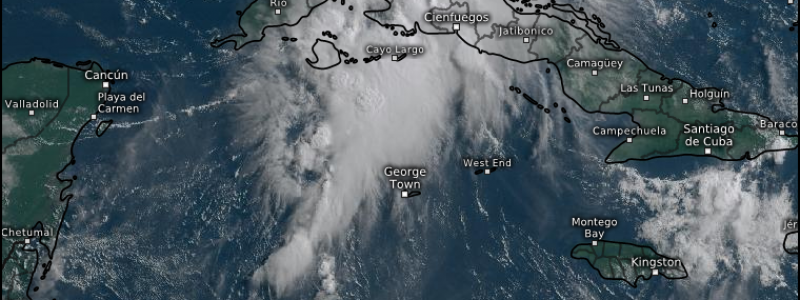
The sun dawns this morning on Elsa, over the warm waters of the Gulf, making a valiant effort at intensification with an impressive burst of convection.
As we discussed yesterday, normally this would lead, eventually, to a stronger storm. However, if you run that loop a few times, you’ll notice that strong westerly shear is preventing any attempt Elsa makes at wrapping that convection around the core. What we have at the moment is a heavily (almost entirely) eastern-weighted storm with it’s LLC barely underneath the cloud cover.
Still, some mild intensification is expected before an eventual landfall early tomorrow morning in the Big Bend area of Florida. As of 8 AM EDT, Elsa is packing maximum sustained winds of 60 mph, still well under hurricane force, and a central pressure of 1007 mb. Currently, the NHC expects winds to top out around 70 mph – a high-end tropical storm – shortly before landfall.
But, honestly, whether Elsa is a low-end Category 1 or a high-end Tropical Storm is only a difference of a few mph and doesn’t really change the fact that, regardless of classification, Elsa may have some serious impacts on western Florida. These being: flooding rains, storm surge, and potential for tornadoes.
Flooding Rains
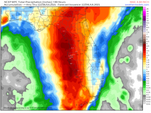
A widespread 3 to 5 inches is likely throughout west-central Florida with locally higher amounts where we see training or slow moving bands or frictional convergence along the coastline.
Thanks to normal Florida summer weather – rounds of daily afternoon thunderstorms – the area is already soggy, so it likely won’t take much to initiate flash flooding. Avoid travel if at all possible, but if you must be out and about, please exercise caution and DO NOT drive over a flooded roadway.
Storm Surge
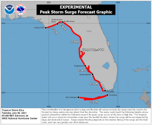
The water component of a hurricane is the most dangerous aspect, and this includes potential storm surge in addition to freshwater flooding. The Tampa Bay area is one of the most highly populated areas of the Florida west coast, and arguably the most vulnerable. The mouth of the bay is narrow and acts like a funnel when winds are from the SSW, causing water to pile up into the Tampa area. With a forecast potential storm surge of 3 to 5 ft, this could create many flooding issues around the area.
Those up and down the western coast of Florida should know what “zone” they reside it and at what level of surge their property becomes threatened. Rush any and all preparations to completion as conditions will deteriorate quickly through the remainder of the day.
Tornado Potential
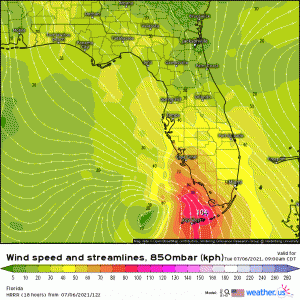
As Elsa crawls northward offshore, low level winds out of the SSE will create enough shear for conditions to be conducive for tornadoes.
We see this often in landfalling tropical systems, usually in the right-front quadrant of the storm where the wind profile is ideal. Generally, these tornadoes are weak and don’t last long. However, that is not always the case. Sometimes stronger, longer track tornadoes come from these systems and do significant damage. Whether strong or weak, these tornadoes are often hard to catch ahead of time as they spin up quickly, so any lead time on the warnings may be rather short. My point: be prepared for tornadoes and be ready to act quickly if a warning is issued for your area.
To sum up: At this point, it doesn’t really matter what Elsa’s classification ends up being, the effects will be about the same. Expect heavy, flooding rains, gusty, damaging winds, tornado potential, and varying degrees of storm surge.
We’ll keep you updated with any further developments throughout the day! Stay safe!
